The Route des Grandes Alpes, from Thonon to Menton
From Lake Geneva to the Mediterranean by the passes, never dropping back to the plain. A week is enough provided you do not try to do everything, and you leave at least two short days.
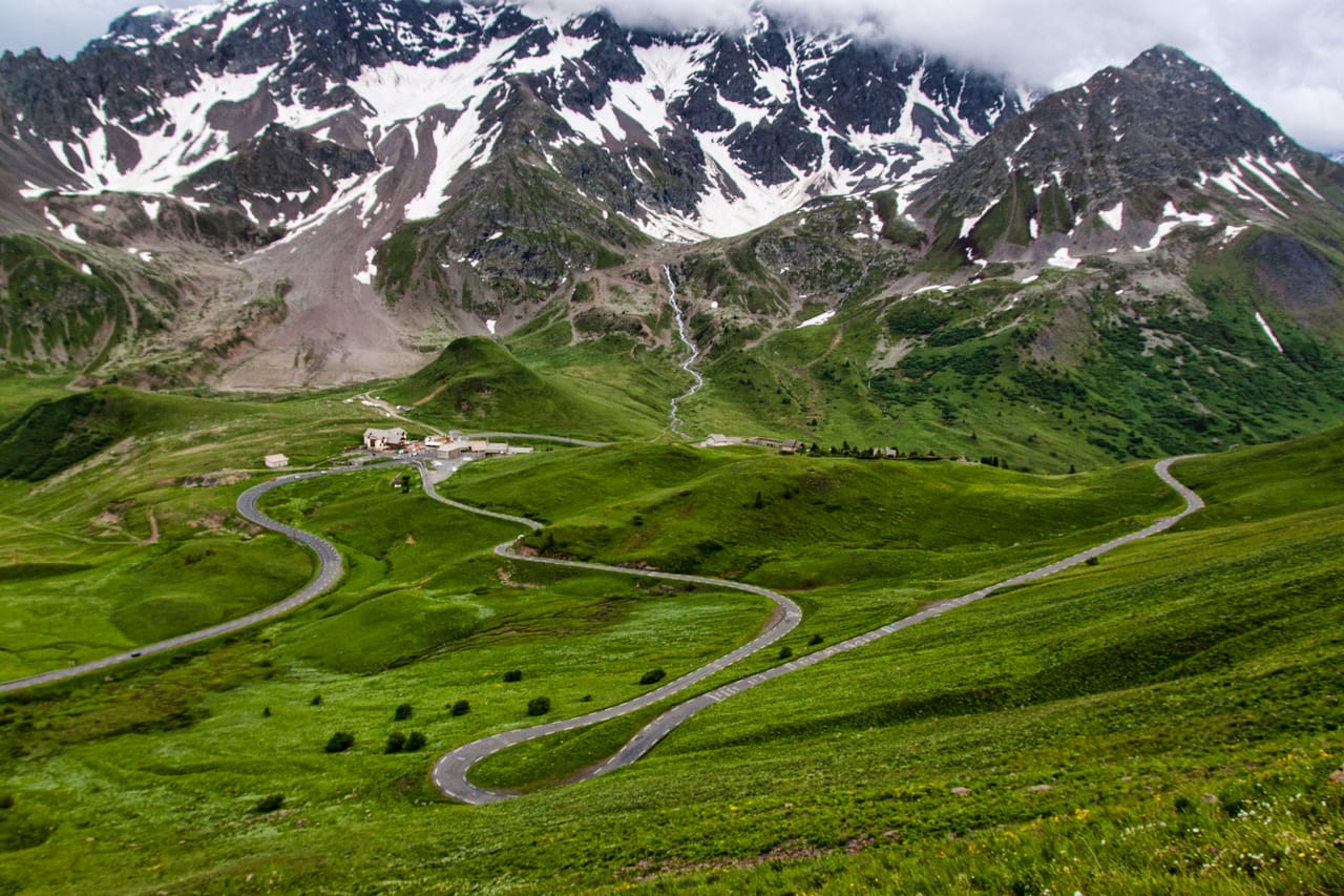
A week from pass to pass
The route crosses seventeen passes over about 700 kilometres, with some 16,000 metres of climbing. It is not one road but a chain of local roads. The itinerary goes from one mountain region to the next: the Chablais, the Aravis, the Beaufortain, the Tarentaise, the Maurienne, the Briançonnais, the Queyras, the Ubaye and the hills behind Nice.
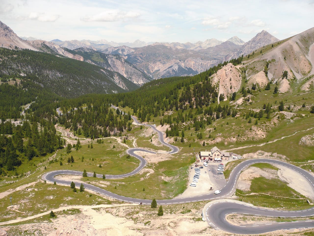
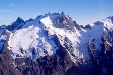
Each pass changes the scenery. Below the Cormet de Roselend, Lac de Roselend is a good place to break up the day. From the Col du Lautaret, at the foot of the Galibier, you can see La Meije and its glaciers. On the south side of the Izoard, the Casse Déserte is nothing but scree and chimneys of ochre rock.
The classic mistake is wanting to chain the passes together. Three passes in a day is five hours behind the wheel and not one walk. It is better to fit in two short stages, a hundred kilometres or so each, after the highest days. That is where the lakes, the alpine pastures and the villages you actually stop in belong.
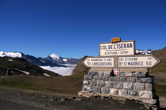
The great passes
At 2,764 metres, the Col de l’Iseran is the highest road pass in the Alps, ahead of Italy’s Stelvio. It links the Tarentaise to the Maurienne and only opens in summer. Its opening in 1937 almost completed the Route des Grandes Alpes. The Touring Club de France had launched it in 1909 to link Lake Geneva to the Mediterranean by the passes. The last section, at the Cormet de Roselend, did not open until 1970.
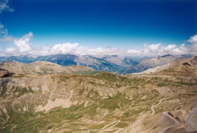
Further south, many people prefer the Bonette to the official route over the Col de la Cayolle. Above the Col de la Bonette, a loop around the summit climbs to 2,802 metres. It is the highest tarmac road in France, but it is no longer a pass.
All around the Bonette spreads the Mercantour National Park, where the wolf came back from Italy in the early 1990s. Then come the Col de Turini, made famous by the Monte Carlo Rally, and the descent to Menton. You leave the larches in the morning for the lemon trees by evening.
You leave the larches in the morning for the lemon trees by evening.
Briançon and Vauban’s strongholds
The road runs close to Italy, and for a long time these mountains served as a line of defence. In 1692, the Duke of Savoy invaded the Dauphiné. Louis XIV then sent Vauban. The engineer fortified Briançon, the highest town in France, at 1,326 metres. He also built Mont-Dauphin from scratch, a stronghold on a plateau where the Guil meets the Durance. Both have been Unesco World Heritage Sites since 2008, along with Vauban’s other major works.
Briançon also owes its reputation to sunshine and dry air. In the early 20th century it was a town of sanatoriums. People still come for the same reasons, but now by bike or on foot.
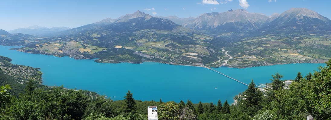
Lac de Serre-Ponçon
It is one of the largest man-made lakes in Europe. The dam on the Durance was finished in 1959, then the reservoir filled until 1961: it swallowed the village of Ubaye and part of Savines. People swim there in summer, and the Pierre Arnoux viewpoint, above Savines-le-Lac, gives one of the widest views.
Practical notes
- When to go
- Mid-June to mid-September: before that, several passes are still closed.
- Getting there
- Start at Thonon-les-Bains; Geneva an hour away, Lyon two and a half.
- Access
- Open to all vehicles, but narrow and steep over several sections.
- Sleeping in a van
- Campsites and aires all along the route. Wild camping is regulated in the Vanoise and Mercantour parks.
- Worth knowing
- Pass opening dates vary each year: check before fixing the itinerary.
- Allow
- A week without pushing, ten days to walk as well.
What not to miss
- 1The Col de l’IseranThe highest pass on the route, between the Tarentaise and the Maurienne, open in summer only.
- 2The Casse DéserteOn the south side of the Izoard, a mineral landscape of rock chimneys and ochre scree.
- 3Vauban’s strongholdsBriançon and Mont-Dauphin, both Unesco World Heritage Sites.
- 4The Mexican villas of BarcelonnetteBuilt between 1870 and 1930 by people from the valley who had left to make their fortune in Mexico, then came home.
- 5Lac de RoselendA turquoise reservoir below the Cormet, ideal for breaking up the day.
- 6The Cime de la BonetteThe highest tarmac road in France, topping out at 2,802 metres as it circles the summit.
The Route des Grandes Alpes in pictures
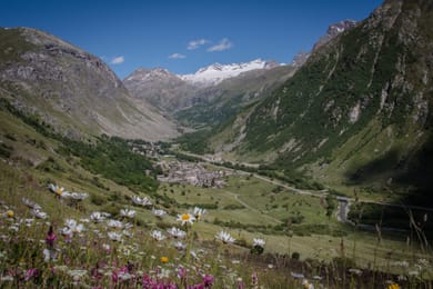
Bonneval-sur-Arc, at the foot of the Iseran.
From cheese to lemons
The route crosses three cheese countries before it reaches the sea: reblochon in the Aravis, beaufort in the valley that gave it its name, then the tommes of the Maurienne pastures. The cooperatives sell direct, often with a tour of the cellars.
Beyond the Ubaye, the cooking changes sides. In the hills behind Nice it is ravioli and pissaladière; in Menton, the lemon, which has its own festival every winter.
Thonon-les-Bains → Menton
 +15stops
- 1Col de la Colombière · Col des Aravis
- 2Col des Saisies · Cormet de Roselend · Lac de Roselend
- 3Col de l'Iseran · Bonneval-sur-Arc
Free, no account needed — start from its places and make it yours.
Also worth reading
Mountains and passes
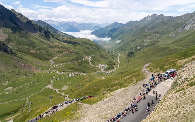
The Pyrenees by the passes, from Pau to Luchon
Aubisque, Tourmalet, Aspin, Peyresourde: the passes the Tour de France turned into legends, and between them the Cirque de Gavarnie. Five days from Pau to Bagnères-de-Luchon, crossing the mountains valley by valley.
Coast and islands
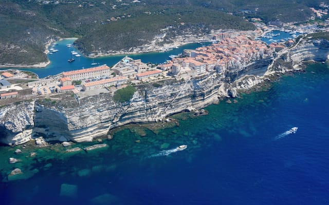
Corsica, round the island in ten days
A mountain in the sea: red granite calanques, Genoese citadels, passes more than a thousand metres up, twenty kilometres from the beaches. Ten days on a loop from Ajaccio, on slow and winding roads.
Wide open spaces
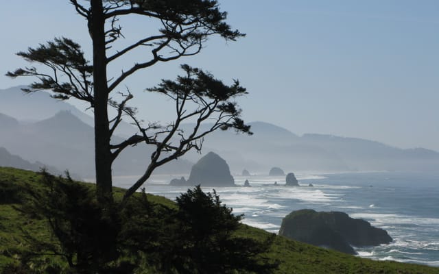
The Pacific Northwest, from the Olympic Peninsula to the Cascade volcanoes
Rainforests, a coast of headlands and lighthouses, redwoods and two active volcanoes. A two-week loop from Seattle, by way of the Olympic Peninsula, the Oregon coast and Mount Rainier.
A starting point, a few wishes — ViaLooma builds the trip day by day, map, stops and roadbook included.