Corsica, round the island in ten days
A mountain in the sea: red granite calanques, Genoese citadels, passes more than a thousand metres up, twenty kilometres from the beaches. Ten days on a loop from Ajaccio, on slow and winding roads.
The road round the island
In Corsica, the road climbs, drops and twists almost everywhere. The island is the most mountainous of the large Mediterranean islands: Monte Cinto tops out at 2,706 metres, less than twenty-five kilometres from the coast. You average forty kilometres an hour, and a hundred-kilometre stage fills a day. That is the price of the scenery: better to plan short stages.
On the west coast, between Piana and Porto, the road runs between the red granite needles of the Calanques de Piana, above the sea. The Gulf of Porto, with these calanques and the Scandola reserve, has been a Unesco World Heritage Site since 1983.
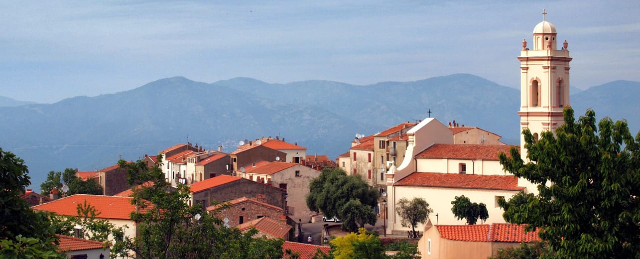
Further north, the Balagne lines up its hilltop villages above Calvi and L’Île-Rousse. Sant’Antonino is said to be one of the oldest inhabited villages on the island. Pigna has come back to life thanks to its craftspeople and musicians. Towards Saint-Florent, the road crosses the Désert des Agriates, an area of maquis with almost no inhabitants. In season, boats run from Saint-Florent to the beaches of Lotu and Saleccia.
Corte, Paoli’s capital
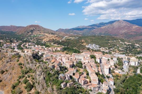
For nearly five centuries Corsica belonged to the Republic of Genoa. In 1755 Pasquale Paoli founded an independent Corsica, with a constitution inspired by the Enlightenment. He made Corte his capital, perched on a rock in the middle of the island. He also founded a university there in 1765. Closed after the French conquest, it found its heir in the University of Corsica, opened in Corte in 1981.
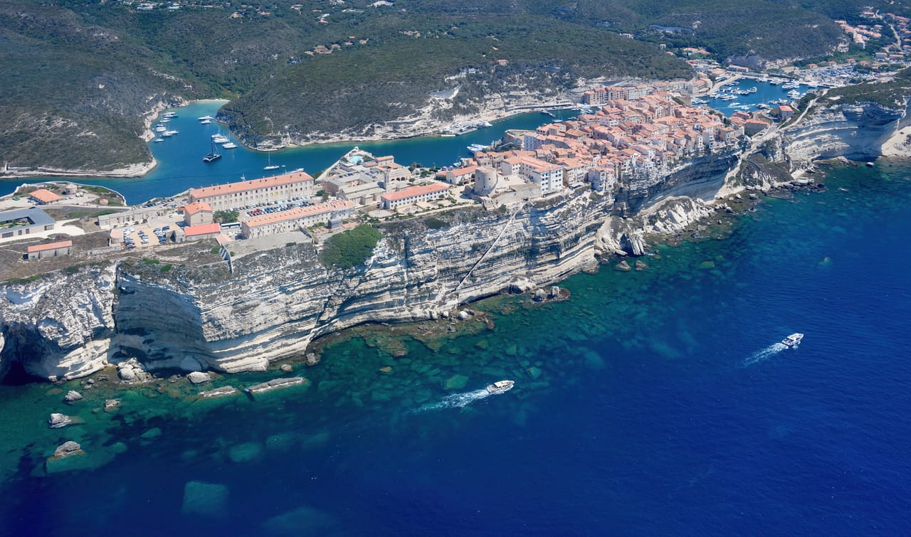
Genoa ceded the island to France in 1768. The following year Napoleon Bonaparte was born in Ajaccio, in the family house that can be visited today. The Genoese left behind the citadels of Bastia, Calvi, Bonifacio and Saint-Florent, and round watchtowers built against the Barbary pirates. They still punctuate the whole shoreline.
Above Corte, the Restonica gorge climbs towards the high mountain lakes. Since the floods of 2023 the road has been closed to cars in its upper reaches. A shuttle runs up from Corte in season, then you continue on foot to the Grotelle shepherds’ huts and Lac de Melo.
On a clear day Sardinia shows a dozen kilometres away.
Bonifacio and the south
At the island’s southern tip, Bonifacio sits on a cliff of white limestone that the sea has hollowed out from below. The upper town looks out over the Strait of Bonifacio. On a clear day Sardinia shows a dozen kilometres away. The King of Aragon’s Stairway drops down the cliff to the sea in 187 steps.
On the way back to Ajaccio, you pass through Sartène, then near the prehistoric site of Filitosa. There, in the Taravo valley, statue-menhirs with carved faces, some of them armed with swords, were raised more than three thousand years ago.
Scandola Nature Reserve
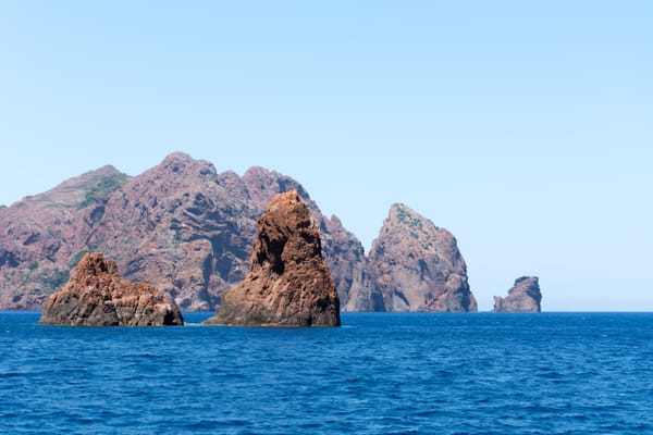
This peninsula of red volcanic rock, basalt columns and sea caves has been a nature reserve since 1975. No road leads there. Boats leave from Porto and Calvi and call at Girolata, a fishing hamlet you can only get to on foot or by sea.
Practical notes
- When to go
- May–June and September–October. July and August clog the roads and the ferries; in winter, the passes can be snowbound.
- Getting there
- Ferries from Marseille, Toulon and Nice to Ajaccio and Bastia, and from Livorno and Savona to Bastia. Book the van’s crossing early for summer.
- Access
- Everything is tarmac, but narrow and winding. Free-roaming cows and pigs often wander across the road.
- Sleeping in a van
- Wild camping is forbidden almost everywhere: on the coast, in the regional nature park, by local by-laws. Plenty of campsites on the coast, fewer inland.
- Worth knowing
- Filling stations are scarce inland: fill up before every mountain crossing.
- Allow
- Ten days to go round the island, two weeks to walk as well.
What not to miss
- 1The Calanques de PianaNeedles of red granite above the Gulf of Porto, finer still at sunset.
- 2The citadel of CalviA Genoese fortress on its headland, facing the mountains of the Balagne.
- 3Cap CorseA corniche road around the peninsula, from Genoese tower to fishing harbour, as far as the port of Centuri.
- 4The Restonica gorgeA valley of laricio pines and clear rock pools above Corte, reached by shuttle in summer.
- 5The Col de BavellaThe most spectacular granite needles on the island, at 1,218 metres.
- 6BonifacioThe upper town on its white cliff, worth seeing from the sea as well.
Corsica in pictures
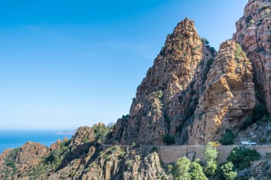
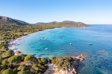
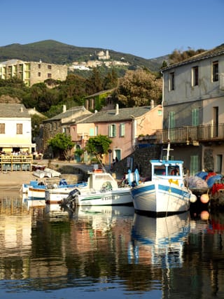
The Calanques de Piana and their red granite spires.
The Corsican table
Corsican charcuterie comes from the free-roaming pig, raised outdoors and fattened on chestnuts: prisuttu, coppa and lonzu each have their own protected designation of origin. Brocciu, a fresh ewe’s or goat’s milk cheese, is eaten in an omelette with mint, in fritters or in fiadone, the lemony cheesecake.
The chestnut tree, long the island’s bread tree, provides the flour for polenta, for fritters and even for a beer. As for wine, the road crosses the vineyards of Patrimonio, at the head of the Gulf of Saint-Florent. Cap Corse also has its own muscat.
Loop from Ajaccio


 +22stops
- 1Maison de Napoléon Bonaparte · Pointe de la Parata
- 2Capu Rossu · Piana · Tour Génoise de Porto
- 3Gorges de la Spelunca · Citadelle de Calvi
Free, no account needed — start from its places and make it yours.
Also worth reading
Coast and islands
The coast of Brittany, from Saint-Malo to Vannes
The corsair city, the pink granite, the headlands of Finistère and the standing stones of Morbihan: nearly eight hundred kilometres along the coast, from the Channel to the Atlantic, in eight days.
Coast and islands
The French Riviera and the hills behind Nice
Corniche roads hanging above the Mediterranean, hilltop villages twenty minutes from the beaches, alpine valleys an hour from Nice. A six-day loop to see both faces of the Riviera.
Coast and islands
Normandy, from Giverny to Mont Saint-Michel
Monet’s garden, the cliffs of Étretat, Honfleur and the Côte Fleurie, the D-Day beaches, then Mont Saint-Michel at the end of its bay. A week along the Seine and the Normandy coast. Nine centuries of history, from William the Conqueror to 6 June 1944.
A starting point, a few wishes — ViaLooma builds the trip day by day, map, stops and roadbook included.