The Pyrenees by the passes, from Pau to Luchon
Aubisque, Tourmalet, Aspin, Peyresourde: the passes the Tour de France turned into legends, and between them the Cirque de Gavarnie. Five days from Pau to Bagnères-de-Luchon, crossing the mountains valley by valley.
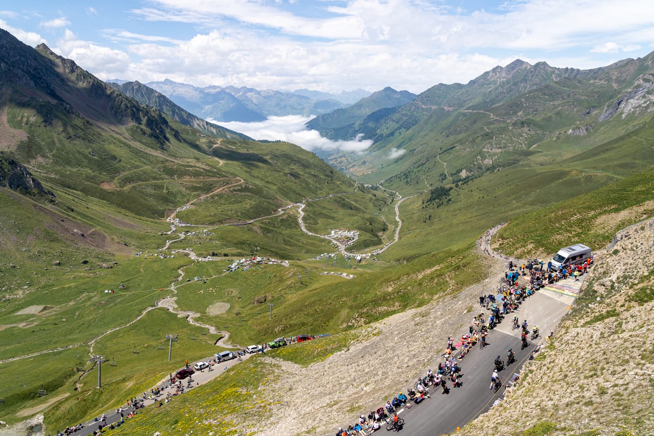
Mountains you cross valley by valley
In the central Pyrenees, the valleys all run down from south to north, side by side, divided by high ridges. To travel from west to east you have to cross the passes one by one. That is the principle of the Route des Pyrénées: you climb, drop over into the next valley, stop beside a mountain torrent or in a village, then set off again for the next pass.
The journey starts in Pau, the birthplace of Henri IV, and heads up the Ossau valley, shepherd country where ewe’s milk cheese is still made. The Pic du Midi d’Ossau, with its twin summits, can be picked out from everywhere. After the Col d’Aubisque, the road runs like a balcony to the Soulor, then drops down into Bigorre. All along the route, the place names come from Gascon Occitan: a gave is a mountain torrent; a port, a pass that crosses into Spain.
Further on, after Gavarnie and the Tourmalet, the Aspin and Peyresourde passes lead to Luchon. In the 19th century people came here to take the waters, as at Cauterets and Barèges, and the writers followed: Chateaubriand, George Sand, Victor Hugo. The spa towns have kept their balconied hotels and their promenades from that time.
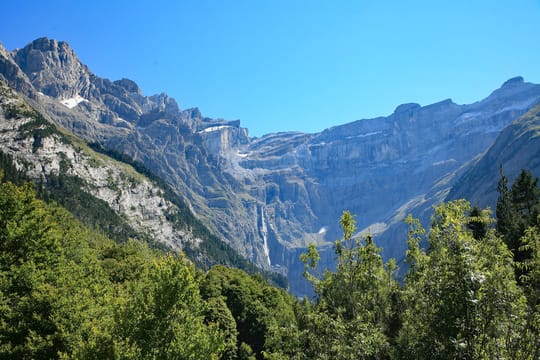
Gavarnie and the national park
South of Luz-Saint-Sauveur, the cliffs of the Cirque de Gavarnie rise in tiers for nearly 1,500 metres. The cirque’s great waterfall drops more than 400 metres, one of the highest in Europe. You reach it on foot from the village, in an hour and a half of easy walking. The cirque and the Monte Perdido massif, on either side of the border, have been a Unesco World Heritage Site since 1997.
The cirque is part of the Pyrenees National Park, created in 1967. One valley further west, above Cauterets, the Pont d’Espagne marks the entrance to the park: a string of waterfalls and mountain pine forests. An hour’s walk on, you reach Lac de Gaube, facing the Vignemale. Lourdes and its sanctuary are half an hour from Cauterets.
No pass has been crossed as often by the Tour de France.
The Tourmalet and the Pic du Midi
In 1910 the Tour de France went into the high mountains for the first time: the Peyresourde, Aspin, Tourmalet and Aubisque in a single stage, from Luchon to Bayonne. At the top of the Aubisque, Octave Lapize is said to have shouted at the organisers: “You are murderers!” Of the four passes, the Tourmalet is the highest, at 2,115 metres. No pass has been crossed as often by the Tour de France. At the top stands the statue of the Giant, a cyclist straining on the pedals. It is put up there every summer and brought down again in autumn.
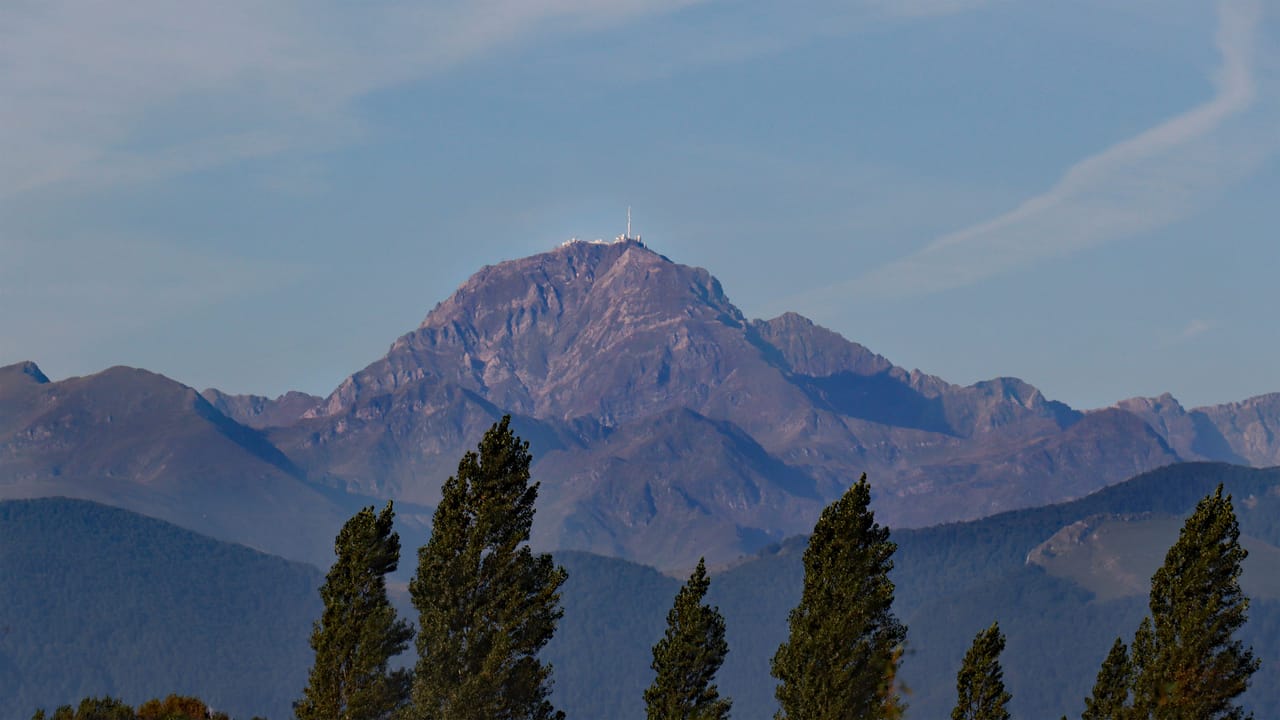
From La Mongie, a cable car rises to the Pic du Midi de Bigorre, at 2,877 metres, where an observatory has been at work since the late 19th century. The sky is so dark there that the peak lies at the heart of France’s first International Dark Sky Reserve.
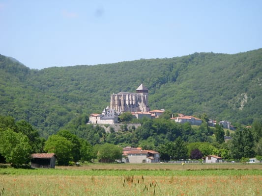
Saint-Bertrand-de-Comminges
On the hill stands a Romanesque and Gothic cathedral, a stop on the Way of St James. Its cloister, open on one side to the mountains, is worth the detour on its own. Below lie the ruins of a Roman town, Lugdunum Convenarum.
Practical notes
- When to go
- Mid-June to the end of September. Several passes, the Tourmalet among them, close in winter, often until late spring.
- Getting there
- Pau is two hours from Bordeaux and an hour from Biarritz; Luchon, at the finish, is two hours from Toulouse.
- Access
- Everything is tarmac. Long, steep gradients, narrow roads in places, and lots of cyclists: overtake them patiently.
- Sleeping in a van
- Campsites in every valley and motorhome aires in the resorts. No overnighting in a van in the core of the national park.
- Worth knowing
- Gavarnie and the Pont d’Espagne are done on foot from a pay car park; at the Pont d’Espagne, a chairlift takes you closer to Lac de Gaube.
- Allow
- Five days from Pau to Luchon, a week to walk at Gavarnie and around the Néouvielle.
What not to miss
- 1The Col d’AubisqueA pass at 1,709 metres, then a balcony road to the Soulor, above the Cirque du Litor.
- 2The Pont d’EspagneA string of waterfalls at the entrance to the national park, above Cauterets.
- 3The Cirque de GavarnieA 1,500-metre wall and its great waterfall, an hour and a half’s walk from the village.
- 4The Col du TourmaletThe pass the Tour de France has crossed most often, with the statue of the Giant at the top.
- 5The Pic du Midi de BigorreThe observatory and its terraces, with a view over much of the range.
- 6Lac d’OôA lake at the foot of a waterfall nearly three hundred metres high, an hour’s walk from the Granges d’Astau.
The Pyrenees in pictures
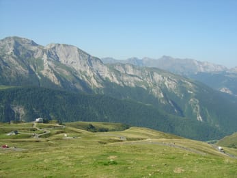
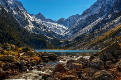
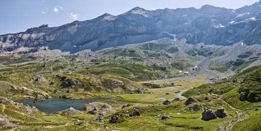
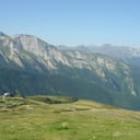
The summer pastures around the Col d’Aubisque.
The valley table
Garbure, a thick soup of cabbage, beans and confit, is the dish of the mountain people of Béarn and Bigorre. The Bigorre black pig, raised outdoors, gives a long-cured ham, and the Tarbais bean goes into the slow-cooked dishes.
In summer, ewe’s milk cheeses are sold up on the high pastures, and the Barèges and Gavarnie valleys raise a sheep with its own designation of origin, fed on the mountain grazing. In every valley you will find the gâteau à la broche, a spit cake baked layer by layer in front of the fire.
Pau → Bagnères-de-Luchon
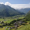
 +10stops
- 1Château de Pau · Vallée d'Ossau · Col d'Aubisque · Col du Soulor
- 2Abbaye de Saint-Savin-en-Lavedan · Pont d'Espagne
- 3Luz-Saint-Sauveur · Gavarnie
Free, no account needed — start from its places and make it yours.
Also worth reading
Coast and islands
Corsica, round the island in ten days
A mountain in the sea: red granite calanques, Genoese citadels, passes more than a thousand metres up, twenty kilometres from the beaches. Ten days on a loop from Ajaccio, on slow and winding roads.
Wide open spaces
Yellowstone, Grand Teton and Glacier: the great Rockies road trip
Three national parks on one road, from the Tetons to the glaciers of Montana, by way of the geysers of Yellowstone. Twelve days from Jackson to Kalispell, with bison by the roadside and two great mountain roads.
Wide open spaces
California’s national parks, from Joshua Tree to Yosemite
Five national parks, from the lowest point in North America to the giant sequoias. A two-week loop from Los Angeles, through the Mojave Desert, Death Valley, the Sierra Nevada and Yosemite.
A starting point, a few wishes — ViaLooma builds the trip day by day, map, stops and roadbook included.