Roadbook · by ViaLooma
Thonon-les-Bains → Menton
Featured in The Route des Grandes Alpes, from Thonon to Menton
The route — Thonon-les-Bains → Menton
Day 1 Le Reposoir → La Clusaz 2 stops · 105 km · ≈ 2h
01 Mountain
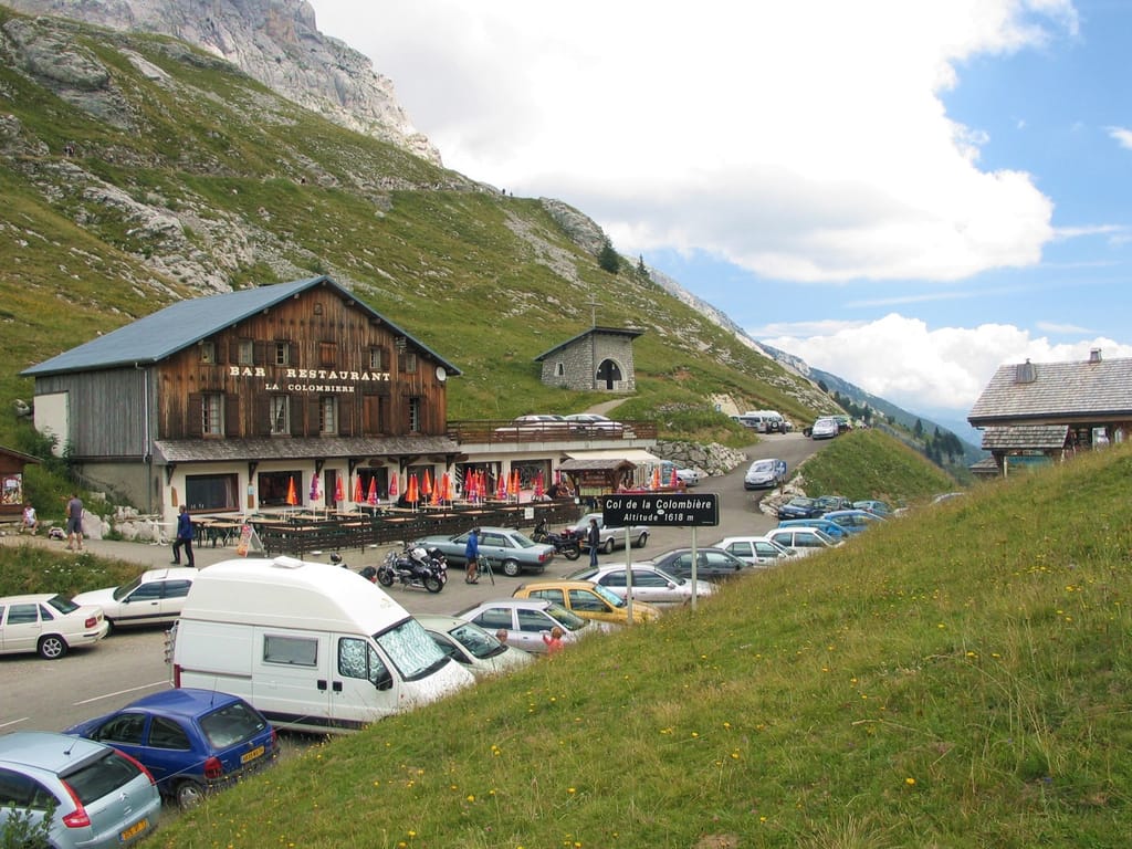
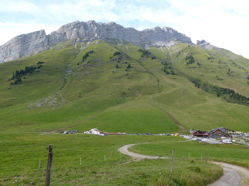
Col de la Colombière
Le Reposoir (74950) · 80 km · 1h28
AI contentBetween Le Grand-Bornand and the Reposoir valley, the road over the Col de la Colombière climbs towards imposing rock bands. Follow in the tracks of the Tour de France, which has crossed this pass twenty-three times, up to the chalets at the summit. On the Reposoir side, the climb reveals the charterhouse below and the outline of the Pointe Percée.
02 Mountain
Col des Aravis
La Clusaz (74220) · 25 km · 32 min
AI contentAt 1,486 metres, the lowest of the Aravis passes links La Clusaz to Flumet, on the Route des Grandes Alpes. The Tour de France came over it as early as 1911, in what is held to be its first Alpine stage. Pause at the top and look east, where the Mont Blanc massif fills the horizon.
The night — Booking, Park4night or Airbnb
Day 2 Hauteluce → Beaufort 3 stops · 74 km · ≈ 1h41
03 Mountain
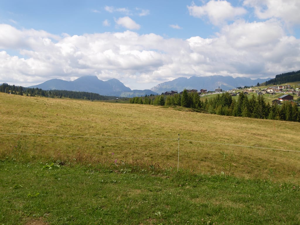
Col des Saisies
Hauteluce (73620) · 27 km · 38 min
AI contentAt 1,632 metres, you cross a vast alpine pasture already mentioned in the 13th century, between the Beaufortain and the Val d'Arly. On 1 August 1944, the Resistance received a major parachute drop of weapons here. The cross-country skiing and biathlon events of the 1992 Olympic Games were held on this plateau, where a cheese dairy also makes Beaufort.
04 Mountain
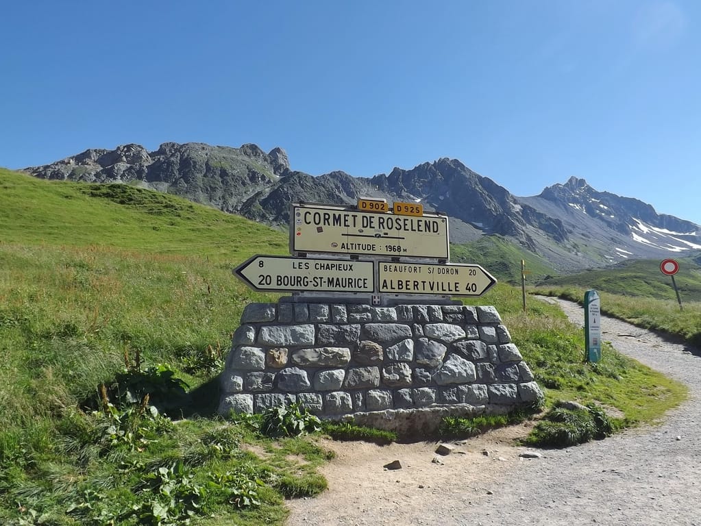
Cormet de Roselend
Beaufort (73270) · 38 km · 51 min
AI contentAt the Cormet de Roselend, you cross the pass linking Beaufort to Bourg-Saint-Maurice. On the west side, the road skirts the Lac de Roselend, whose waters cover the former mountain-pasture hamlet of the same name. The summit opens out above the tree line, and the Tour de France first came over it in 1979.

05 Lake
Lac de Roselend
Beaufort (73270) · 9 km · 12 min
AI contentIn 1960, the filling of the dam drowned the alpine village of Roselend, and a new chapel now stands nearby. A concrete arch one hundred and fifty metres high holds back the lake, between the Cormet de Roselend and the Col du Pré. Follow its shore along the road, facing the peaks of the Beaufortain.
The night — Booking, Park4night or Airbnb
Day 3 Bonneval-sur-Arc 2 stops · 89 km · ≈ 1h55
06 Mountain
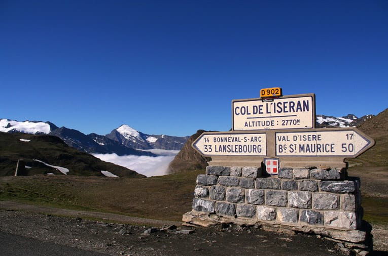
Col de l'Iseran
Bonneval-sur-Arc (73480) · 75 km · 1h40
AI contentPerched at 2,764 metres between the Maurienne and the Tarentaise, the Iseran is the highest road pass in the Alps. Here you find the chapel of Notre-Dame-de-Toute-Prudence, designed in 1939 by Maurice Novarina, in the Vanoise, protected as a national park. Opened in 1937, the road closes every winter, when the pass joins the ski runs of Val-d'Isère.
07 Village
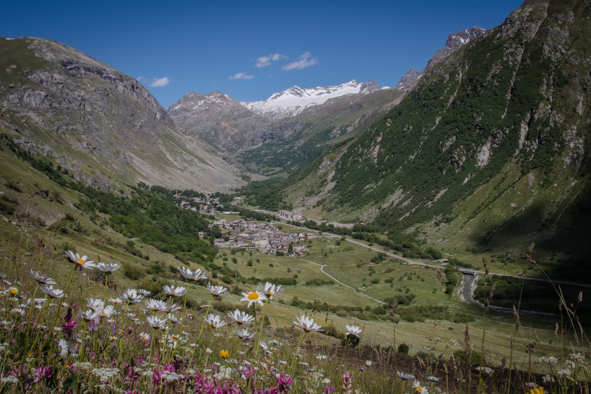
Bonneval-sur-Arc
Bonneval-sur-Arc (73480) · 14 km · 15 min
AI contentAt the very end of the Haute-Maurienne, below the Col de l'Iseran, Bonneval-sur-Arc huddles its squat stone houses under stone-slab roofs borne by larch. Stroll through its lanes and look on the wooden galleries for the grebons, cakes of dried sheep dung that once heated the hearths. Not a single cable or aerial spoils the façades.
The night — Booking, Park4night or Airbnb
Day 4 Valloire → Le Monêtier-les-Bains 3 stops · 106 km · ≈ 2h10
08 Mountain
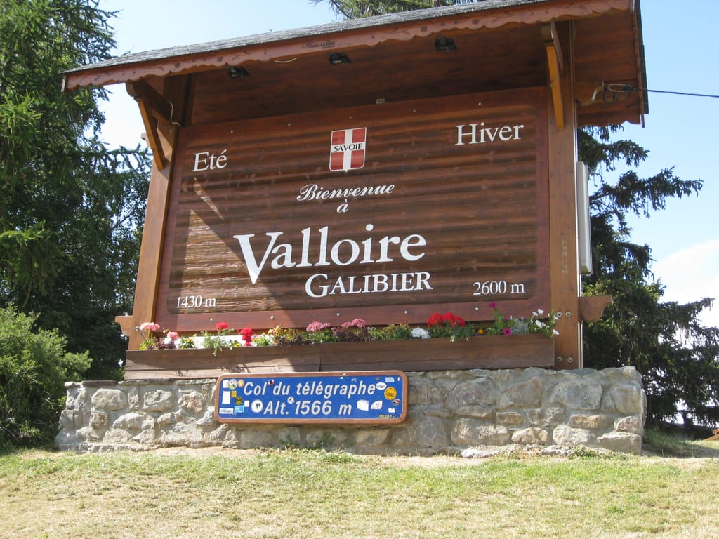
Col du Télégraphe
Valloire (73450) · 74 km · 1h29
AI contentThe pass owes its name to the Fort du Télégraphe, set on a neighbouring rocky spur, and peaks at 1,566 metres. In 1911, the Tour de France's first Alpine stage was already crossing it before the Galibier, which it still precedes from the north. Climb its 11.9 kilometres of wooded hairpins from Saint-Michel-de-Maurienne to gauge the effort demanded of the riders.
09 Mountain
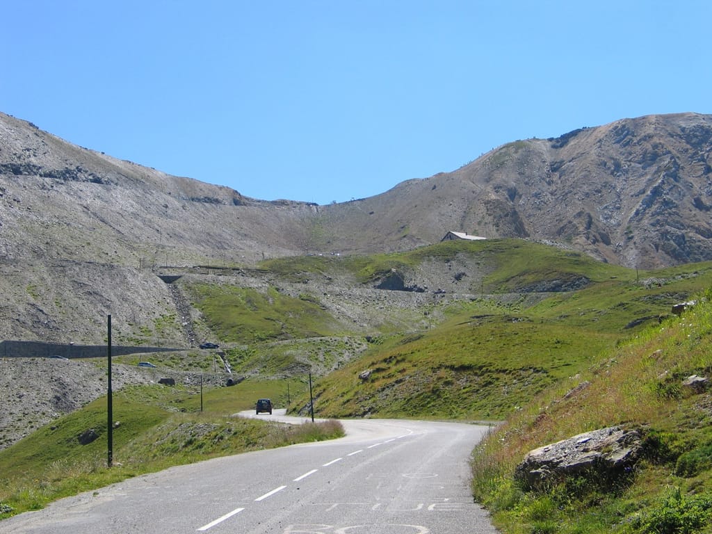
Col du Galibier
Le Monêtier-les-Bains (05220) · 23 km · 32 min
AI contentAt 2,642 metres you cross one of the highest road passes in the French Alps, between the Maurienne and the Guisane. Above, the Grand Galibier raises its limestone and quartzite ridges over slopes of short grass. Completed in 1891 and closed in winter, the road has been climbed by the Tour de France since 1911.
10 Mountain
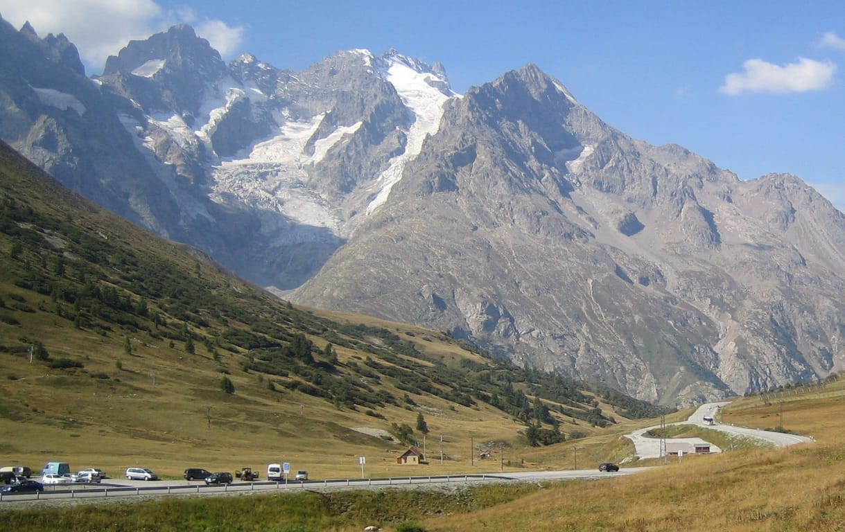
Col du Lautaret
Le Monêtier-les-Bains (05220) · 9 km · 9 min
AI contentAt 2,057 metres, the Col du Lautaret links the Oisans to the Briançonnais, on a threshold smoothed by an ancient glacier. A Roman road already crossed it; the botanist Dominique Villars noted its flora in 1779, and an alpine garden blooms here today. Look south-west to see the Meije rise, and north to the Galibier.
The night — Booking, Park4night or Airbnb
Day 5 Briançon → Mont-Dauphin 3 stops · 87 km · ≈ 1h55

11 Village
Briançon
Briançon (05100) · 28 km · 35 min
AI contentYou climb to the upper town of Briançon, built on a rock bar left by the glaciers, within Vauban's walls. Its ramparts, its forts and the Pont d'Asfeld, World Heritage listed, guard the road to the Col de Montgenèvre. In the Grande Gargouille, a channel of running water rushes down the middle of the sloping street.
12 Mountain
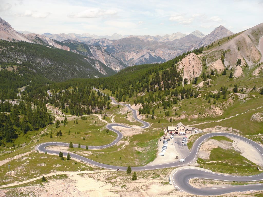
Col d'Izoard
Arvieux (05350) · 20 km · 29 min
AI contentBuilt by General Berge between 1893 and 1897, the road crosses the pass at 2,362 metres, between Briançon and Château-Ville-Vieille. On the southern side, drive through the Casse Déserte, where needles of cargneule rise from bare scree. On the way out, a stele honours Bobet and Coppi, as the Tour de France often takes this pass.
13 Village
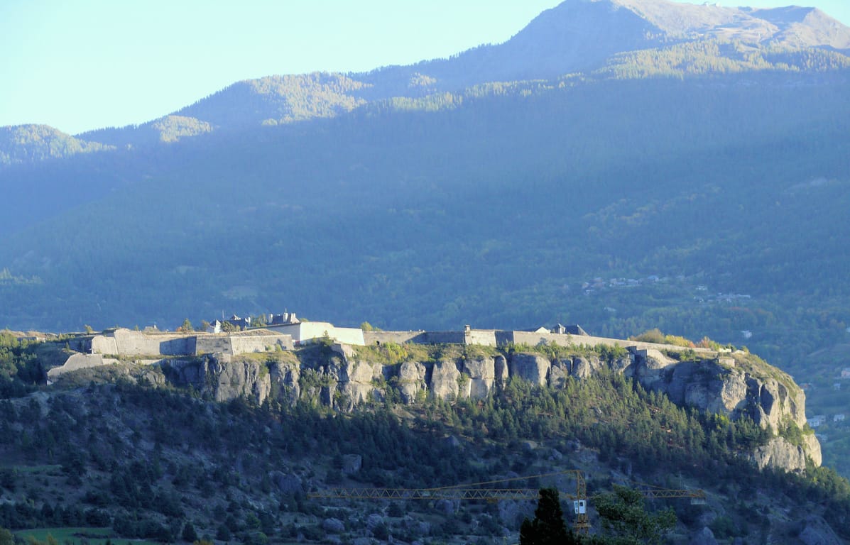
Mont-Dauphin
Mont-Dauphin (05600) · 39 km · 51 min
AI contentDiscover Mont-Dauphin on a rocky plateau that watches over the meeting of the Durance and the Guil, at the crossroads of the routes to the Queyras and Briançon. The fort, designed by Vauban, is a World Heritage Site among the engineer's strongholds. All around, erosion has carved the conglomerate into pinnacles, including the one nicknamed the Titan's Hand.
The night — Booking, Park4night or Airbnb
Day 6 Vars → Jausiers 3 stops · 88 km · ≈ 2h
14 Mountain
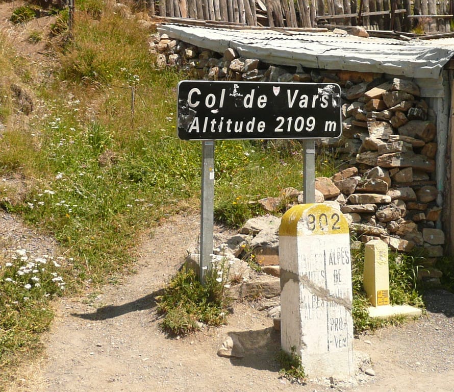
Col de Vars
Vars (05560) · 27 km · 40 min
AI contentAt 2,108 metres, the Col de Vars links the Ubaye with the Guillestre country, on the Route des Grandes Alpes. Drive up through hairpin bends that climb above the tree line. The Tour de France crossed it as early as 1922, and in 1938 Gino Bartali built here the stage win that gave him the yellow jersey.

15 Village
Barcelonnette
Barcelonnette (04400) · 30 km · 37 min
AI contentAt 1,135 metres, in the heart of the Ubaye, the small sub-prefecture bears the mark of an unexpected adventure. In the 19th and early 20th centuries, locals who had left to seek their fortune in Mexico came back to build large villas surrounded by gardens. Discover them along the avenues, beneath the peaks that close off the valley.
16 Mountain
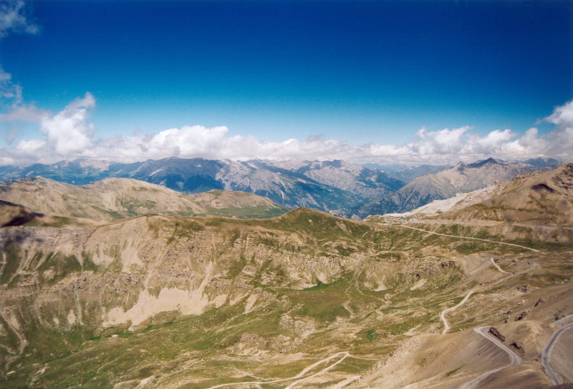
Col de la Bonette
Jausiers (04850) · 31 km · 43 min
AI contentTake time, on the final hairpins, to watch the pastures give way to scree and old blockhouses. Between the Ubaye and the Tinée, this road completed in 1964 loops round the summit and climbs to 2,802 metres, the Tour de France altitude record. On both sides, ruins of the Alpine Maginot Line recall past tensions with Italy.
The night — Booking, Park4night or Airbnb
Day 7 La Bollène-Vésubie → Menton 2 stops · 156 km · ≈ 3h29
17 Mountain
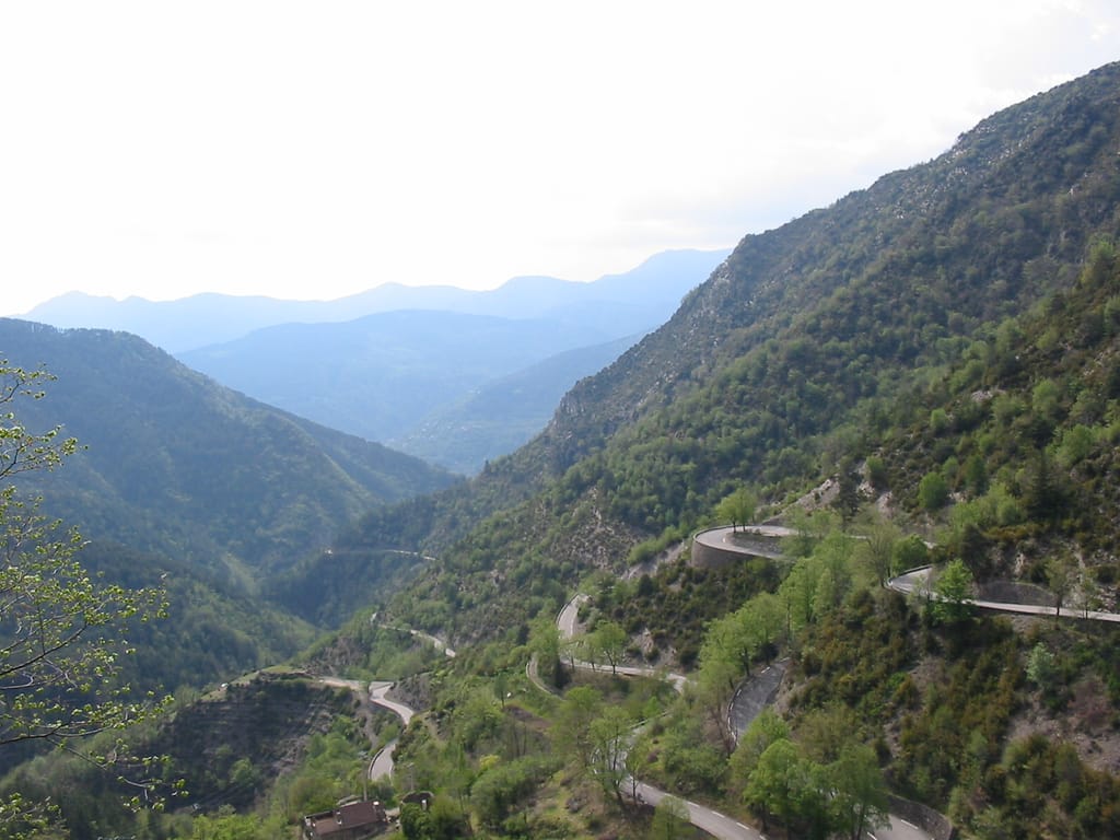
Col de Turini
La Bollène-Vésubie (06450) · 110 km · 2h23
AI contentAt 1,604 metres, this pass links the Vésubie and Bévéra valleys, at the top of hairpin bends made famous by the Monte Carlo Rally. The final ramps climb through a conifer forest, crossed five times by the Tour de France. Stop for a while at the hamlet on the pass, where several roads meet.
18 Church
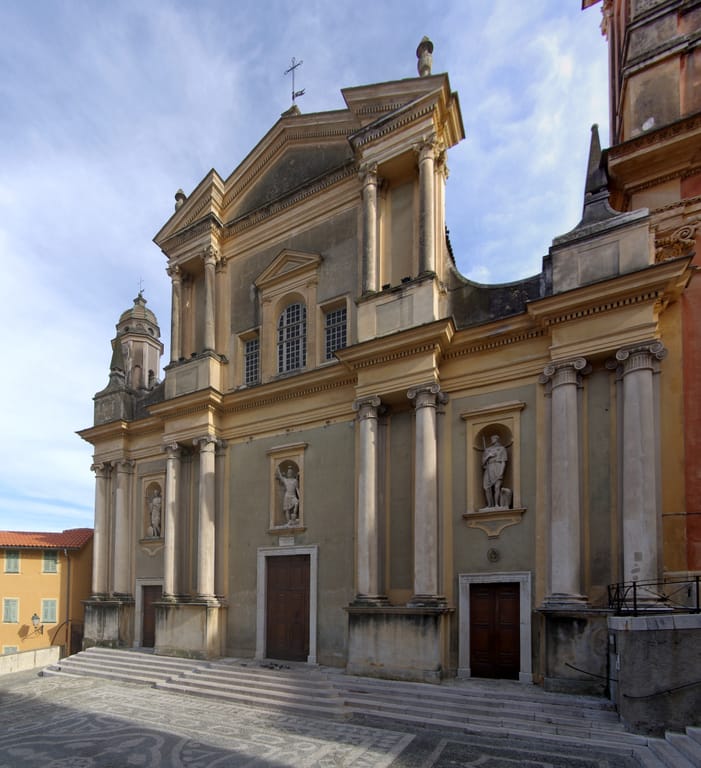
Basilique Saint-Michel-Archange de Menton
Menton (06500) · 45 km · 1h03
AI contentIn Menton, flights of steps climb from the seafront to the pebble-paved forecourt of this Baroque church consecrated in 1675. Take in its columned façade flanked by two bell towers, including the Campanin, fifty-three metres high. Every August since 1949, this forecourt has served as the stage for a music festival.
Arrival in Menton · 1 km · 3 min
The night — Booking, Park4night or Airbnb