The international Douro, a border at the bottom of the canyon
For more than a hundred kilometres the river carves the border between Portugal and Spain. From Bragança to Foz Côa the villages stay perched, the road switches banks over the crests of the dams, and the viewpoints make the whole journey.
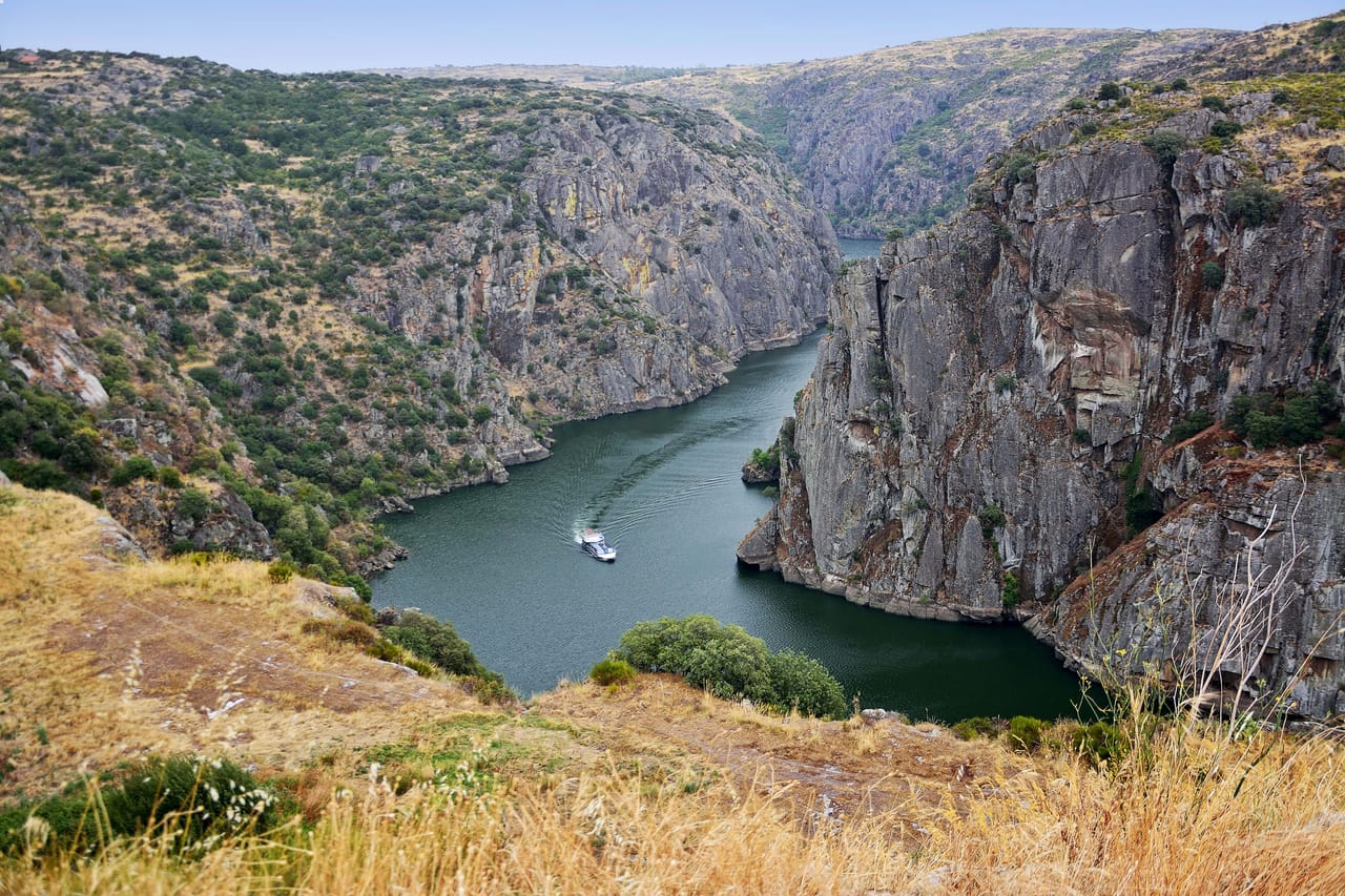
A road along the canyon rim
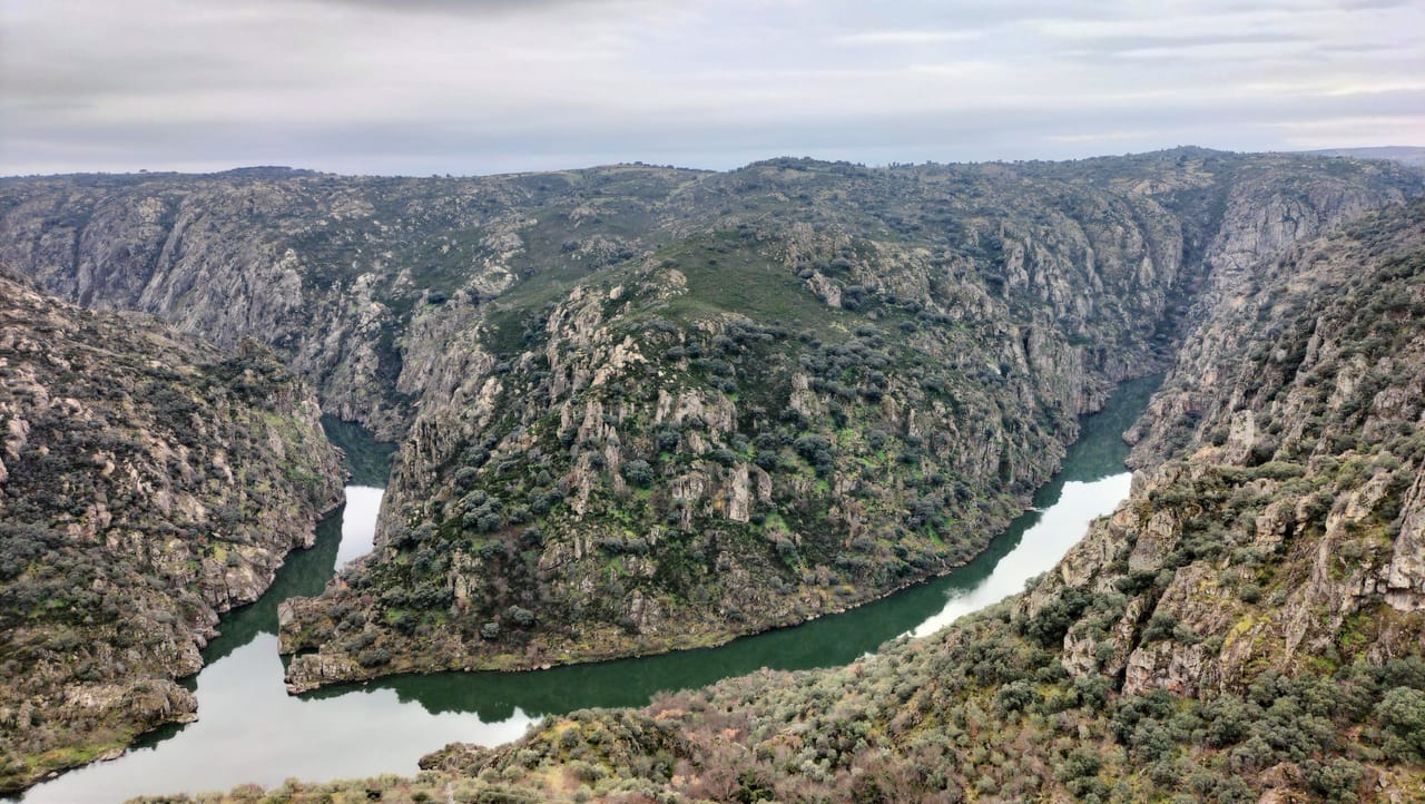
Here the Douro has nothing of the terraced vineyards of the Upper Douro, further downstream. It runs at the bottom of a canyon several hundred metres deep, and that canyon is the border: Portugal on the right bank, Spain on the left. The road mostly follows the plateau, and short side roads lead to the viewpoints above the river. Griffon and Egyptian vultures, golden eagles and black storks fly over the drop.
The journey starts in Bragança, the town that gave its name to the Braganza dynasty, which ruled Portugal from 1640 to 1910. Its citadel is still lived in. Behind the walls you also find the Domus Municipalis, a Romanesque building raised over a cistern, and the Iberian Mask Museum.
Further south-east, Miranda do Douro sits on the edge of the canyon. People there still speak Mirandese, an Astur-Leonese language recognised by law in 1999. Below the town, near the dam, a boat runs up the narrowest part of the canyon, between sheer rock walls.
The Arribes and the dams
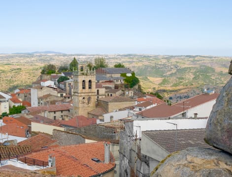
On the Spanish side the canyon goes by the name of the Arribes del Duero. Fermoselle is built on a spur above the confluence with the Tormes, and cellars are cut into the rock beneath its houses. At Pereña the Uces drops fifty metres into the Pozo de los Humos. At Aldeadávila the Mirador del Fraile looks down on the dam where the final scene of Doctor Zhivago was filmed. At the bottom of the canyon the winters are mild: olive and almond trees grow on terraces, and there are even orange trees at Vilvestre.
In the mid-20th century a chain of dams — Miranda, Picote, Bemposta, Aldeadávila, Saucelle — turned the river into a series of reservoirs. A 1927 agreement shared out the river’s power: the upper stretch to Portugal, the lower to Spain.
The border follows the water, and you sometimes pass from one country to the other across the crest of a dam. Fixed for the most part in 1297 by the Treaty of Alcañices, this border ranks among the oldest in the world still in force.
The border follows the water, and you sometimes pass from one country to the other across the crest of a dam.
The Côa engravings
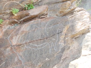
In the 1990s a dam was set to flood the valley of the Côa, a tributary of the Douro. Archaeologists working on the site found thousands of rock engravings: horses, aurochs and ibex scratched into the schist. The oldest, from the Palaeolithic, are more than twenty thousand years old.
A national campaign, run under the slogan ‘As gravuras não sabem nadar’ (‘the engravings can’t swim’), had the work halted in 1995. Three years later the rock art of the Côa became a Unesco World Heritage Site. The museum that presents it opened in 2010. On this trip, only the Mazouco horse, near Freixo, can be seen without a guide.
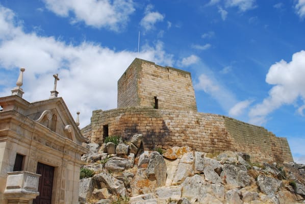
Marialva Castle
One of Portugal’s twelve Aldeias Históricas: a ruined citadel on a granite outcrop, with the remains of the Roman town of Civitas Aravorum at its feet. Before 1297 the border followed the Côa, and Marialva kept watch over it.
Practical notes
- When to go
- April–May and September–October. Summer is scorching down in the valleys.
- Getting there
- Bragança is just over two hours from Porto, Foz Côa two and a half.
- Access
- Mostly tarmac; short dirt tracks lead to São João das Arribas and the Mirador de las Barrancas. The roads over the dam crests are narrow.
- Sleeping in a van
- Campsites at Miranda and Mogadouro, aires at Bragança, Aldeadávila and Freixo. In Portugal, overnight stays are banned outside authorised sites in protected areas and Natura 2000 zones; elsewhere, 48 hours per municipality at most.
- Worth knowing
- You cross the border several times: keep the vehicle papers to hand. Spain is an hour ahead. At the Côa, booking is advisable for guided visits to the sites.
- Allow
- Six days from Bragança to Foz Côa, a week with Marialva and the fortified town of Almeida.
What not to miss
- 1The citadel of BragançaThe keep, the Domus Municipalis and the Mask Museum, all within the same walls.
- 2Miranda do DouroA former episcopal town on the canyon rim, where Mirandese is still spoken.
- 3The Spanish-side viewpointsLas Barrancas, El Fraile, Vilvestre: the canyon seen from Spain.
- 4Freixo de Espada à CintaA granite town and its Manueline church, among the almond trees.
- 5The Museu do CôaThe Palaeolithic engravings of the Côa valley, and the museum that explains them.
- 6Castelo RodrigoA fortified village, with the ruins of a palace that the villagers burnt in 1640, at the end of Spanish rule.
The international Douro in pictures
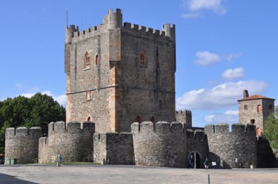
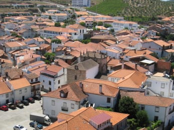
The citadel of Bragança: the keep, the crenellated walls and, on the right, the Princess Tower.
The plateau’s table
The Mirandese plateau has its own breed of cattle, the mirandesa, and its own dish, the posta mirandesa: a thick cut grilled over a wood fire and served without ceremony. Alheiras, sausages of bread, poultry and pork, have their capital at Mirandela, three quarters of an hour from Bragança.
In late February and early March, almond trees in blossom whiten the slopes around Freixo and Foz Côa. The journey ends with a glass of port, in the valley where it is made.
Bragança → Vila Nova de Foz Côa

 +19stops
- 1Castelo de Bragança · Castelo de Algoso · Miranda do Douro
- 2Miradouro de São João das Arribas · Mirador de las Barrancas · Miradouro da Fraga do Puio · Castelo de Mogadouro
- 3Fermoselle · Pereña de la Ribera · Mirador del Fraile · Presa de Aldeadávila
Free, no account needed — start from its places and make it yours.
Also worth reading
Wide open spaces
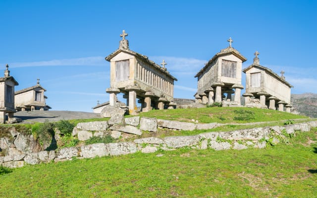
The Minho and Peneda-Gerês, from Portugal’s cradle to its granite granaries
In northern Portugal, facing Galicia, the Minho is a land of granite, rain and maize, and it was here that the kingdom was born. Six days on a loop from Braga, through Peneda-Gerês park, its mountain villages and the border river down to the Atlantic.
Wide open spaces
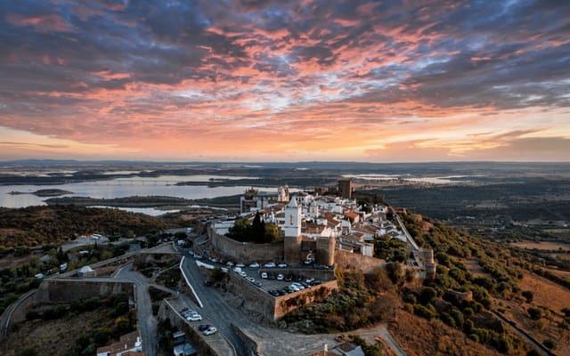
Inland Alentejo, from Évora to the ramparts of Marvão
South of the Tagus, inland Alentejo is a region of cork-oak plains, white villages on their hilltops and fortresses facing Spain. A six-day loop from Évora, by way of the Guadiana, Lake Alqueva and the ridge of Marvão.
Wide open spaces
The Algarve, from golden cliffs to the Costa Vicentina
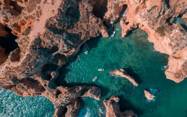
The lagoon of the Ria Formosa, the golden limestone cliffs of Benagil and Lagos, then Cape St Vincent, which the ancients held to be the end of the inhabited world. A week’s loop from Faro, by way of the wild coast running north towards the Alentejo, and the Serra de Monchique.
A starting point, a few wishes — ViaLooma builds the trip day by day, map, stops and roadbook included.