Inland Alentejo, from Évora to the ramparts of Marvão
South of the Tagus, inland Alentejo is a region of cork-oak plains, white villages on their hilltops and fortresses facing Spain. A six-day loop from Évora, by way of the Guadiana, Lake Alqueva and the ridge of Marvão.
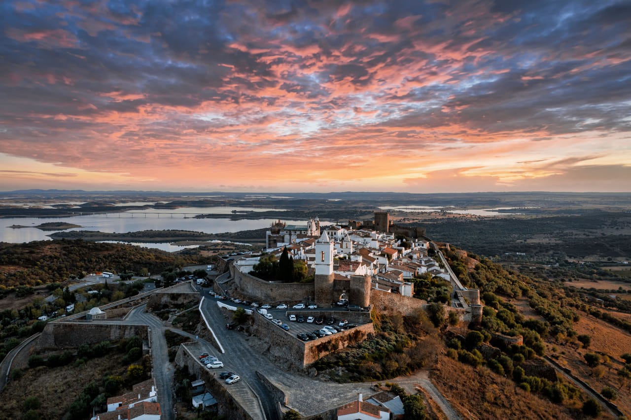
Plains, white villages and castles
Alentejo means ‘beyond the Tagus’. You drive for mile after mile through cork oaks spaced out as if on a savannah — the montado. Every so often, a white town appears on a hilltop, with its castle. You park below the ramparts, walk up, then get back on the road.
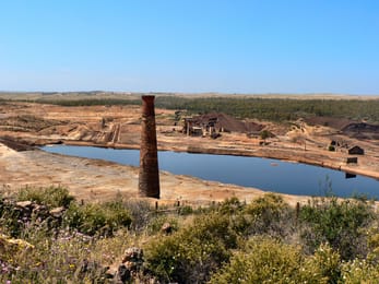
In the south of the loop, Mértola looks down on the Guadiana, at the point where the river stops being navigable. Its church is a former 12th-century mosque, where you can still see the mihrab. On the road to Serpa, the São Domingos mine, worked by a British company from 1858 to 1966, left behind an acid lagoon and red earth.
To the east of the loop lies Lake Alqueva. The dam’s sluice gates were closed on 8 February 2002, and within eight years the reservoir had become the largest artificial lake in Western Europe. At night, people come here to watch the stars: in 2011, Dark Sky Alqueva became the world’s first Starlight Tourism Destination. Its observatory, at Cumeada near Monsaraz, is open to the public.
Évora and the Almendres Cromlech
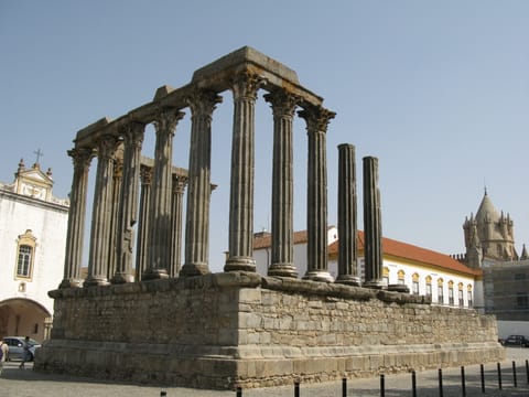
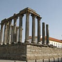
Évora is where the loop begins. Its centre has been a World Heritage Site since 1986, and the town will be European Capital of Culture in 2027. Fourteen columns remain of its Roman temple, their capitals carved from Estremoz marble. It was long said to be dedicated to Diana. That legend dates from the 17th century: the temple more probably served the cult of the emperor.
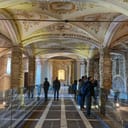
The main square bears the name of Geraldo Sem Pavor — Gerald the Fearless — who took the town from the Moors in 1165. In the church of São Francisco, the Chapel of Bones gives fair warning at the entrance: ‘We bones that are here are waiting for yours.’
About fifteen kilometres from the town, the Almendres Cromlech brings together some 95 granite monoliths, arranged in ellipses. It is the largest group of menhirs on the Iberian Peninsula. The earliest go back to the 6th millennium BC, long before Stonehenge, yet the site was only identified in 1964. The solar alignments credited to these stones are still debated. The stones look their best in the evening light.
For centuries, these fortresses defended the border.
The border castles
Inland Alentejo borders Spain: that is why it has so many castles. For centuries, these fortresses defended the border. Above the lake, Monsaraz is a fortified village of white houses. In its old courtroom, you can see a fresco painted around 1500: a good judge facing a two-faced one. Vila Viçosa is home to the palace of the Dukes of Braganza, who went on to become kings in 1640. It was from there that King Carlos I set out for Lisbon on 1 February 1908; he was assassinated there the same day.
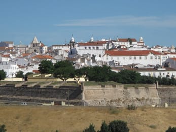
Further north, facing Badajoz, Elvas is ringed by the world’s largest system of bastioned fortifications with dry ditches. Marvão sits high on a quartzite ridge, at more than 850 metres.
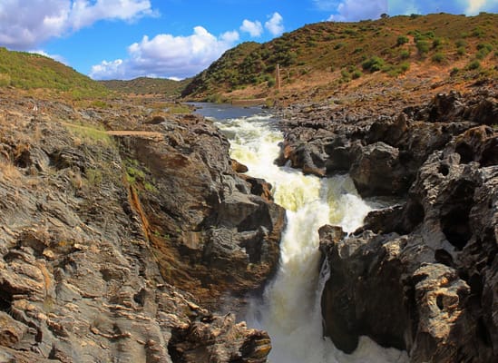
Pulo do Lobo
The Guadiana plunges here into a schist gorge so narrow that a wolf, legend has it, could clear it in a single bound — hence the name, ‘the wolf’s leap’. Its falls are counted among the highest in southern Portugal. The last two kilometres are unpaved; the flow is strongest after the winter rains.
Practical notes
- When to go
- March to May, then October. In summer, temperatures around Beja can peak above 40 °C.
- Getting there
- Évora is an hour and a half from Lisbon, Elvas a quarter of an hour from Badajoz.
- Access
- Tarmac throughout, except the tracks to Almendres and Pulo do Lobo. In the walled villages, park outside the walls.
- Sleeping in a van
- Aires at the gates of several towns, Monsaraz among them. In protected areas and Natura 2000 zones, you may only sleep at authorised sites. Elsewhere, you can stay 48 hours at most in the same municipality, unless a stricter local rule applies.
- Worth knowing
- The ducal palace at Vila Viçosa can only be seen on a guided tour; closed on Mondays, and on Tuesday mornings outside July and August.
- Allow
- Six days for the loop, about 640 km; a week to linger by the lake.
What not to miss
- 1The Almendres CromlechAn ellipse of menhirs beneath the oaks, in the setting sun.
- 2The Chapel of BonesThousands of skulls and bones, set in rows around 1600 on the initiative of three Franciscan friars.
- 3The São Domingos mineAn acid lagoon, red spoil heaps and a miners’ village.
- 4Monsaraz CastleA bullring inside the walls, and Lake Alqueva as far as the eye can see.
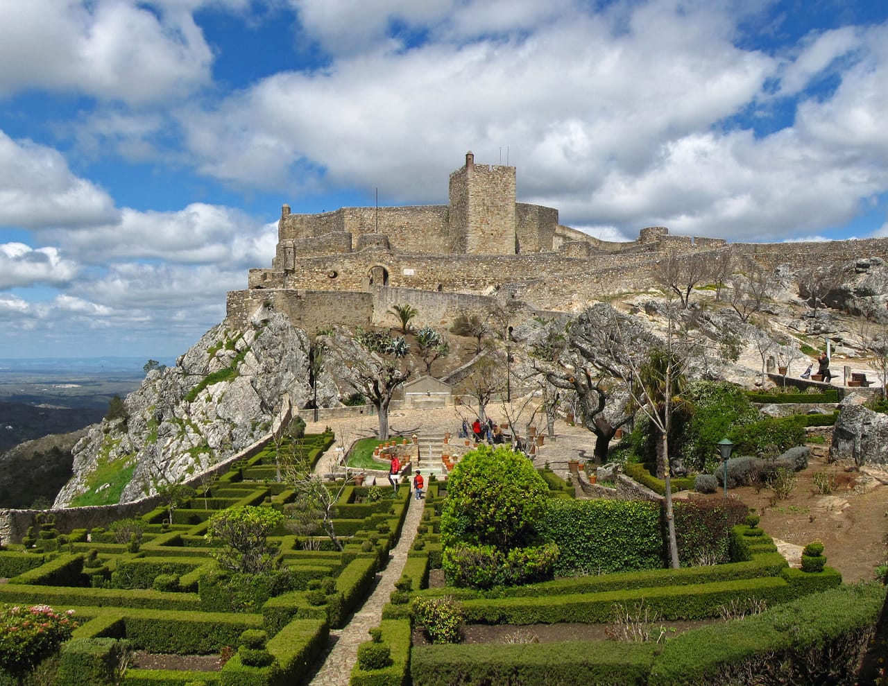
- 5Marvão CastleA rampart walk along the quartzite ridge, looking out over Spain.
- 6The synagogue of Castelo de VideOne of Portugal’s two medieval synagogues, in the heart of the judiaria, the old Jewish quarter.
Inland Alentejo in pictures
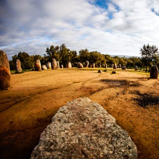
The Almendres Cromlech: a single stone in the foreground, the ellipse of menhirs beneath the oaks.
The Alentejo’s table
Alentejo cooking does a great deal with very little: açorda, a bread soup with garlic and coriander in which an egg is poached, migas, lamb stew. The black pig, fattened on acorns, gives Barrancos ham; Serpa cheese is curdled with thistle flower.
Around Vidigueira, talha wine is still made in clay jars as in Roman times, and the jars are opened on St Martin’s Day. In the evening, in the taverns of Serpa, men sometimes strike up the cante alentejano, a polyphonic singing tradition inscribed by Unesco in 2014.
Loop from Evora
 +19stops
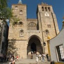
- 1Cromeleque dos Almendres · Templo romano de Évora · Sé Catedral de Évora · Capela dos Ossos
- 2Sítio Arqueológico de São Cucufate · Castelo de Beja · Castelo de Mértola
- 3Mina de São Domingos · Castelo de Serpa · Barragem de Alqueva · Castelo de Monsaraz
Free, no account needed — start from its places and make it yours.
Also worth reading
Wide open spaces
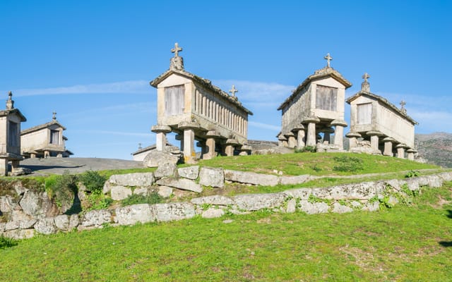
The Minho and Peneda-Gerês, from Portugal’s cradle to its granite granaries
In northern Portugal, facing Galicia, the Minho is a land of granite, rain and maize, and it was here that the kingdom was born. Six days on a loop from Braga, through Peneda-Gerês park, its mountain villages and the border river down to the Atlantic.
Wide open spaces
The Algarve, from golden cliffs to the Costa Vicentina
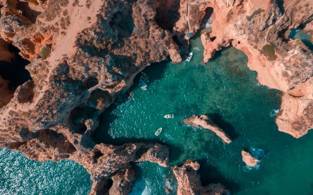
The lagoon of the Ria Formosa, the golden limestone cliffs of Benagil and Lagos, then Cape St Vincent, which the ancients held to be the end of the inhabited world. A week’s loop from Faro, by way of the wild coast running north towards the Alentejo, and the Serra de Monchique.
Wide open spaces
The Estrada Nacional 2, Portugal from top to bottom
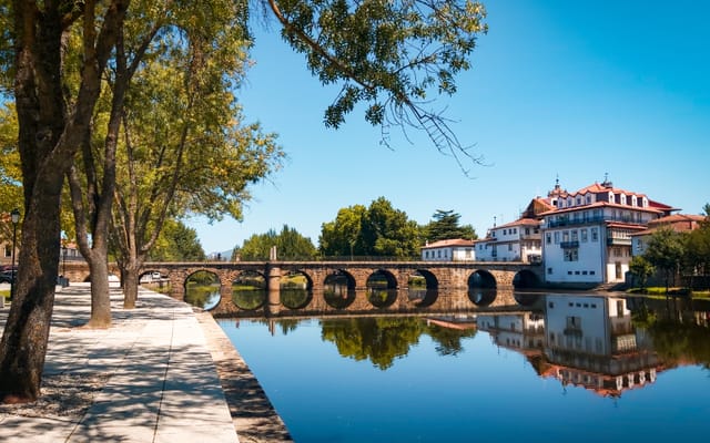
From Chaves, a stone’s throw from Galicia, to Faro, on the edge of the Ria Formosa, a single road crosses the whole of Portugal through its interior. Eight days of vines, pine woods and cork oaks — provided you leave the motorway to those in a hurry.
A starting point, a few wishes — ViaLooma builds the trip day by day, map, stops and roadbook included.