The coast of Brittany, from Saint-Malo to Vannes
The corsair city, the pink granite, the headlands of Finistère and the standing stones of Morbihan: nearly eight hundred kilometres along the coast, from the Channel to the Atlantic, in eight days.
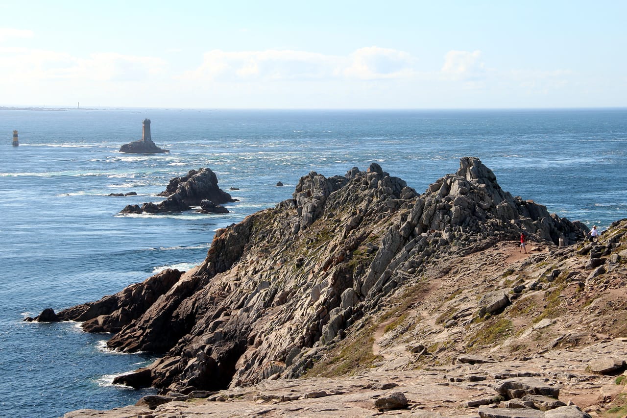
From the Channel to the Atlantic
This trip follows the Breton coast from Saint-Malo to Vannes, from headland to headland. Almost every stop can be stretched into a walk on the customs officers’ path. In the north, after the cliffs of Cap Fréhel, the Pink Granite Coast lines up jumbles of boulders shaped like tortoises, hats or castles. Morning and evening, the stone turns almost red.
Around Morlaix, the parish closes of Saint-Thégonnec and Guimiliau fit into the same morning. In the 16th and 17th centuries, linen cloth made these parishes rich, and they tried to outdo one another with porches, calvaries and ossuaries. Then comes the tip of Finistère, the end of the earth. On the Crozon peninsula, the cliffs of Pen-Hir drop straight into the ocean. The Pointe du Raz stands more than seventy metres above the currents of the Raz de Sein; from there you can see the Île de Sein and the Vieille lighthouse.
Locronan has kept its granite square and its sailcloth merchants’ houses intact. In Quimper, the Cathedral of Saint-Corentin towers over an old town of half-timbered houses. Further south, the coast grows gentler all the way to the Gulf of Morbihan.
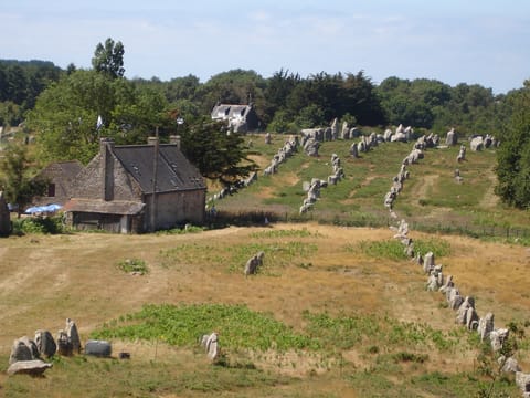
The standing stones of Morbihan
At Carnac, nearly three thousand menhirs stand in lines over about four kilometres. They were raised more than six thousand years ago, in the Neolithic. The alignments form several groups, including Le Ménec, Kermario and Kerlescan, a few hundred metres apart. The road runs alongside them, and you can walk around them, along the fences. Nobody really knows why they were raised. People talk of a calendar, a place of worship or a territorial boundary, but there is no firm proof.
Further east, at Locmariaquer, the great broken menhir of Er Grah measures more than twenty metres long. It is one of the largest blocks ever raised in the Neolithic.
The megaliths of Carnac and the shores of Morbihan have been a Unesco World Heritage Site since 2025.
Every morning, you check the tide tables the way you would check the weather anywhere else.
Saint-Malo, the corsair city
Saint-Malo grew rich on privateering. With a letter from the king, its corsairs had the right to attack enemy ships. The town has kept the large houses of its shipowners from those days. Surcouf and Duguay-Trouin were born here. It was also from here that Jacques Cartier sailed in 1534 for what would become Canada.
In 1944, bombing and fires destroyed four-fifths of the walled town. It was rebuilt in granite, in the style of its old houses, inside the ramparts that were still standing. Here the tide rules everything: the gap between high and low water can reach thirteen metres. Every morning, you check the tide tables the way you would check the weather anywhere else. At low tide you can walk out to the islet of Grand Bé, where Chateaubriand chose to be buried facing the open sea.
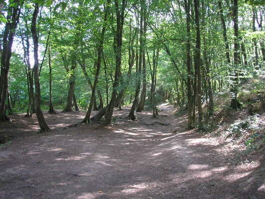
Paimpont Forest
The forest that tradition identifies with the Brocéliande of the Arthurian romances: the fountain of Barenton, Merlin’s tomb, the Val sans Retour. On the ground, ponds, oaks and trails — more than enough to fill a day.
Practical notes
- When to go
- June and September, for the long light and quieter roads. July and August are mild but very busy; the weather turns quickly in every season.
- Getting there
- Saint-Malo is an hour from Rennes and four hours from Paris; ferries from Portsmouth. Vannes is an hour and a half from Nantes.
- Access
- All tarmac. The coast roads are slow; the headlands are reached on foot from car parks that often charge in summer.
- Sleeping in a van
- Plenty of campsites all along the coast. Overnight parking is banned near most of the major natural sites.
- Worth knowing
- The customs officers’ path, the GR 34, runs right round the coast; it is waymarked in white and red.
- Allow
- Eight days from Saint-Malo to Vannes, ten to take the boat to Bréhat, Sein or Belle-Île.
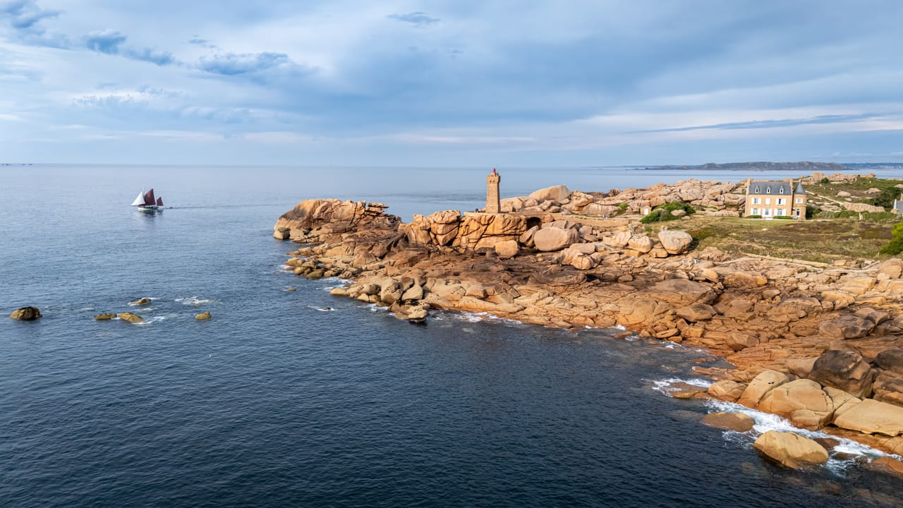
What not to miss
- 1The ramparts of Saint-MaloThe walk round the walled town and, at low tide, the Grand Bé.
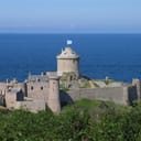
- 2Cap Fréhel and Fort la LattePink sandstone cliffs more than seventy metres high, and a fortress perched above the sea.
- 3Ploumanac’hThe lighthouse and the tumbled pink granite, on the customs officers’ path.
- 4The Cairn of BarnenezOne of the oldest monuments in Europe, built more than six thousand years ago above the Bay of Morlaix.
- 5The Pointe du RazThe tip of Finistère, facing the Île de Sein and one of the most feared stretches of water on the coast.
- 6The walled town of ConcarneauRamparts on an islet in the middle of the harbour, reached by a bridge.
Brittany in pictures
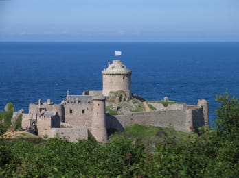
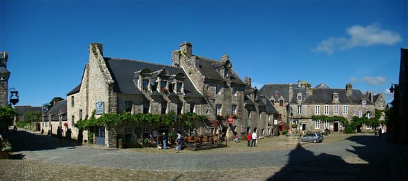
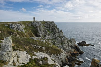
Fort la Latte, set above the sea near Cap Fréhel.
The Breton table
Crêpes are eaten everywhere. In Brittany, people tell the savoury buckwheat galette apart from the sweet wheat-flour crêpe, and both come with a bowl of cider. In Pont-Aven, the word galette also means a small all-butter biscuit. In Douarnenez, the kouign-amann pushes butter and sugar all the way to caramel.
On the coast, Cancale oysters at the start of the trip and those of the Gulf of Morbihan at the end; in between, the harbours of Le Guilvinec and Concarneau land langoustines and fish from the inshore fleet. As for the butter, it is salted: demi-sel.
St-Malo → Vannes

 +21stops
- 1Remparts de Saint-Malo · Dinan · Fort la Latte · Cap Fréhel
- 2Paimpol · Tréguier · Phare de Ploumanac'h
- 3Cairn de Barnenez · Viaduc de Morlaix · Enclos paroissial de Saint-Thégonnec
Free, no account needed — start from its places and make it yours.
Also worth reading
Coast and islands
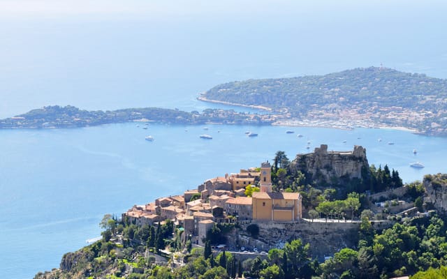
The French Riviera and the hills behind Nice
Corniche roads hanging above the Mediterranean, hilltop villages twenty minutes from the beaches, alpine valleys an hour from Nice. A six-day loop to see both faces of the Riviera.
Coast and islands
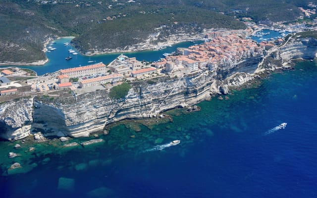
Corsica, round the island in ten days
A mountain in the sea: red granite calanques, Genoese citadels, passes more than a thousand metres up, twenty kilometres from the beaches. Ten days on a loop from Ajaccio, on slow and winding roads.
Coast and islands
Normandy, from Giverny to Mont Saint-Michel
Monet’s garden, the cliffs of Étretat, Honfleur and the Côte Fleurie, the D-Day beaches, then Mont Saint-Michel at the end of its bay. A week along the Seine and the Normandy coast. Nine centuries of history, from William the Conqueror to 6 June 1944.
A starting point, a few wishes — ViaLooma builds the trip day by day, map, stops and roadbook included.