Highway 1, from San Francisco to Los Angeles via Big Sur
Highway 1 follows the Pacific from San Francisco to Los Angeles, past cliffs, surf beaches and towns that grew from the Spanish missions. Eight days on the road, with Big Sur in the middle.
The Pacific coast, from San Francisco to Malibu
Highway 1 runs along the Pacific between San Francisco and Los Angeles. First you drive over the Golden Gate Bridge and back, for the view from the Marin Headlands. Then the road heads south past cliffs, pumpkin fields and lighthouses. In Santa Cruz, you find the surfers and the Boardwalk amusement park.
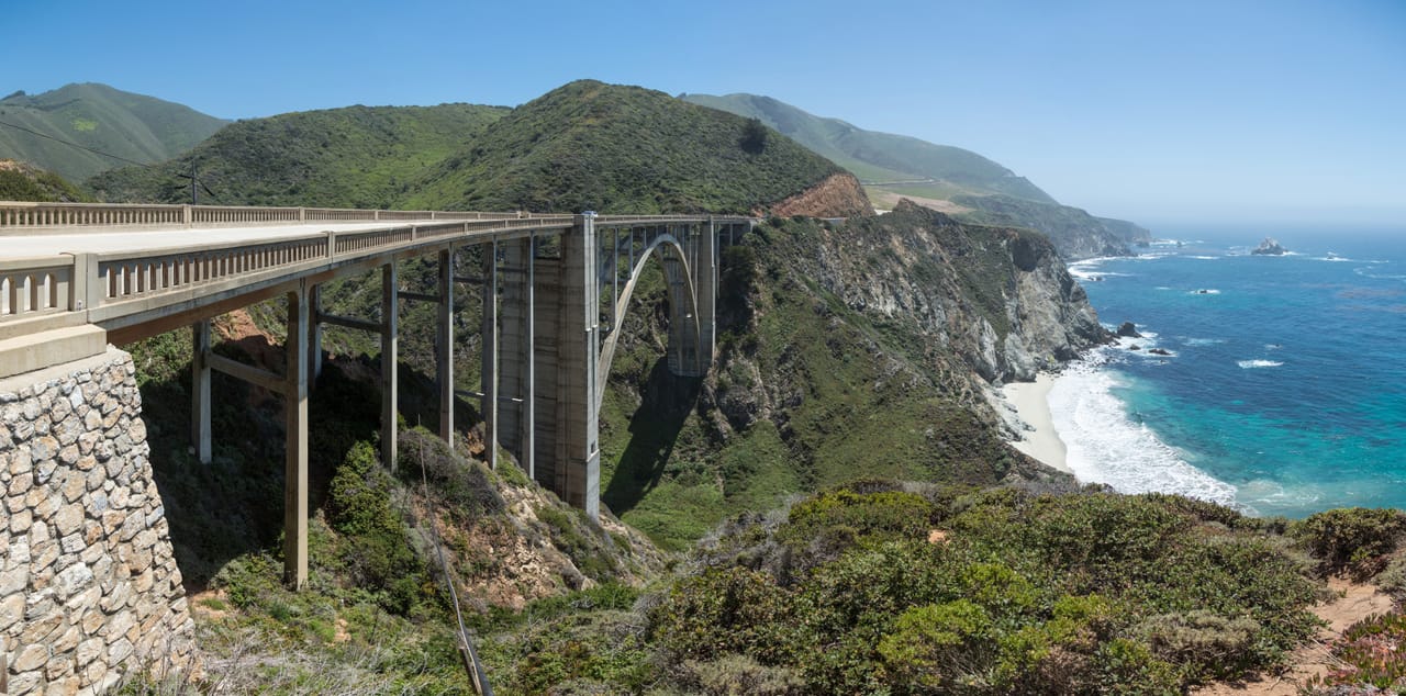
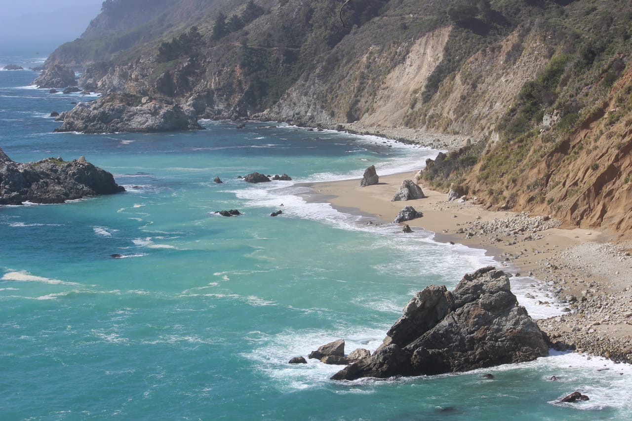
After Monterey and Carmel comes Big Sur: 114 kilometres of coast where the Santa Lucia Mountains drop into the ocean. No towns, few petrol stations, often no signal. The stops come one after another: Garrapata, Bixby Creek Bridge, the Point Sur lighthouse, Pfeiffer Beach, McWay Falls. The viewpoints are on the ocean side: driving south, you pull in without crossing the oncoming lane.
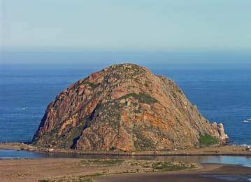
Further south, the coast grows gentler: Morro Rock, the Pismo dunes, then Santa Barbara and its red-tiled roofs. After Oxnard, the road becomes the Pacific Coast Highway, runs past Malibu and leads to Santa Monica, where a sign on the pier marks the symbolic end of Route 66.
Point Lobos and the coast’s wildlife
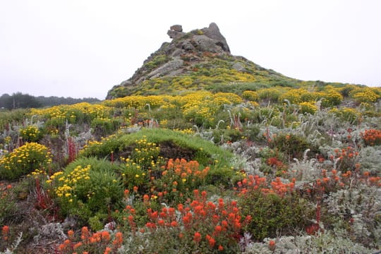
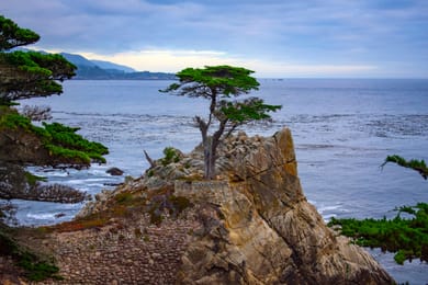
Just south of Carmel, Point Lobos is a state natural reserve. It is one of only two places where the Monterey cypress grows in the wild. Fishing is banned in the marine reserve. You see harbour seals on the rocks, cormorants and often sea otters, floating on their backs in the kelp. In spring, wild flowers cover the headlands.
California’s sea otters have come a long way. Hunted for their fur, they were thought to have died out. In 1938, about fifty were spotted near Bixby Creek, and the otters on the coast today descend from those survivors. Since 1997, captive-bred California condors have also been released in Big Sur.
At Piedras Blancas, the first elephant seals settled in 1990. Today there are thousands, visible all year round from a viewpoint beside the road. Further north, the Año Nuevo colony can be visited with a guide from mid-December to the end of March, and on your own with a permit the rest of the year.
California’s sea otters have come a long way.
Big Sur, a road cut into the cliff
California approved the Big Sur road in 1919; the work took eighteen years. Prisoners from San Quentin worked on it for 35 cents a day and time off their sentences. The best known of the road’s bridges, Bixby Creek Bridge, opened in 1932: 218 metres long, with a 110-metre concrete arch. The road opened in 1937.
The mountain is still unstable. Landslides often cut the road: Mud Creek in 2017, then Regent’s Slide, which closed it from February 2024 to 14 January 2026. In summer 2026, the Timber and Plaskett fires cut it again, until it fully reopened in mid-September. Before you set off, check its state on QuickMap, Caltrans’ online map.
Solvang
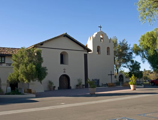
A village founded in 1911 by Danish Americans, with its half-timbered houses and windmills. At the edge of town, Mission Santa Inés, founded in 1804, is the nineteenth of California’s twenty-one missions. The vineyards around it were a setting for the film Sideways.
Practical notes
- When to go
- September and October, when the sky is clearest. In summer, fog often covers the coast in the morning.
- Getting there
- You fly into San Francisco and out of Los Angeles, with a one-way hire car.
- Access
- Everything is tarmac. The Golden Gate is tolled southbound, with no toll booths. The 17-Mile Drive charges an entry fee. The road to Pfeiffer Beach is closed to motorhomes.
- Sleeping in a van
- State park campsites in Big Sur, Morro Bay, Pismo and Refugio, to book early. No overnight stays by the roadside.
- Worth knowing
- After the 2026 fires, some trails are still closed in Big Sur and in the Los Padres forest. Booking is required at the Getty Villa and recommended at Hearst Castle.
- Allow
- Eight days, ten to linger in Big Sur or add Solvang.
What not to miss
- 1The Golden Gate BridgeCross it heading north to see it from the Marin Headlands.
- 2Monterey Bay AquariumOn Cannery Row, on the site of an old sardine cannery.
- 3Pfeiffer BeachSand tinged with purple and an arch in the rocks.
- 4McWay FallsA 24-metre waterfall that drops onto a beach, or into the ocean at high tide.
- 5Hearst CastleHearst’s palace, built by Julia Morgan from 1919 to 1947; you go up by bus.
- 6Santa Barbara MissionKnown as the ‘Queen of the Missions’, with its twin-towered façade.
Highway 1 in pictures
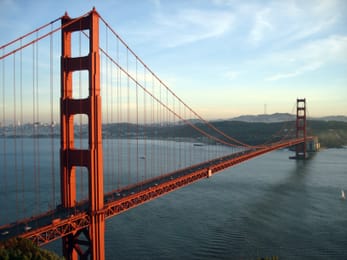
The Golden Gate Bridge from the Marin Headlands, with the bay and San Francisco behind.
Food on the California coast
In San Francisco, people eat clam chowder, a clam soup served in a sourdough bread bowl. Castroville, near Monterey, calls itself the artichoke capital of the world. In Half Moon Bay, pumpkins get their own festival in October.
Further south, tri-tip, a cut of beef, is grilled over an oak fire, Santa Maria style. On Thursday evenings, a big market fills the centre of San Luis Obispo. The Santa Ynez valley makes pinot noirs, and Solvang sells æbleskiver, small round Danish pancakes.
San Francisco → L.A.


 +24stops
- 1Lombard Street · Golden Gate Bridge · Half Moon Bay State Beach
- 2Pigeon Point Lighthouse · Natural Bridges State Beach · Santa Cruz Beach Boardwalk
- 3Monterey Bay Aquarium · 17-Mile Drive · Lone Cypress · Carmel-by-the-Sea
Free, no account needed — start from its places and make it yours.
Also worth reading
Wide open spaces
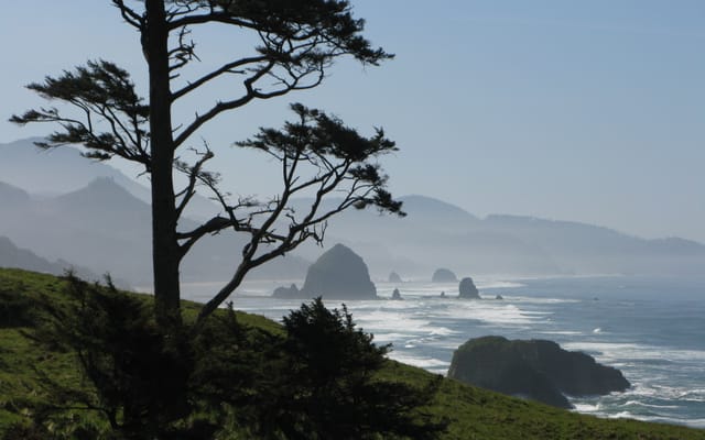
The Pacific Northwest, from the Olympic Peninsula to the Cascade volcanoes
Rainforests, a coast of headlands and lighthouses, redwoods and two active volcanoes. A two-week loop from Seattle, by way of the Olympic Peninsula, the Oregon coast and Mount Rainier.
Wide open spaces
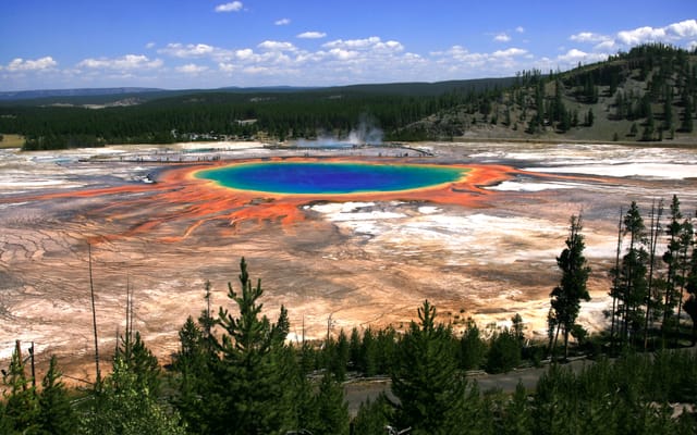
Yellowstone, Grand Teton and Glacier: the great Rockies road trip
Three national parks on one road, from the Tetons to the glaciers of Montana, by way of the geysers of Yellowstone. Twelve days from Jackson to Kalispell, with bison by the roadside and two great mountain roads.
Wide open spaces
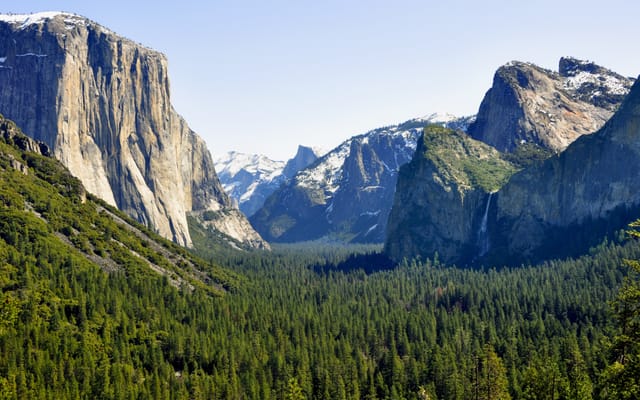
California’s national parks, from Joshua Tree to Yosemite
Five national parks, from the lowest point in North America to the giant sequoias. A two-week loop from Los Angeles, through the Mojave Desert, Death Valley, the Sierra Nevada and Yosemite.
A starting point, a few wishes — ViaLooma builds the trip day by day, map, stops and roadbook included.