The white villages, Ronda and the Costa de la Luz
Whitewashed villages clinging to the sierras, a town split in two by a ravine, then the Atlantic, its dunes and the wind of Tarifa. Six days on a loop from Jerez, between the mountains of Cádiz and the wildest coast in Andalusia.
From the sierras to the Atlantic
The loop sets out from Jerez and climbs into the sierras, in the hills behind Cádiz and Málaga. Some twenty white villages follow one another, often huddled around a church and a castle. You leave the car at the entrance, walk up steep lanes, then take a narrow, winding road again to the next village. Near Jerez, Arcos de la Frontera is perched on the edge of a cliff, above the plain of the Guadalete.
Then the road drops down to the Atlantic. The Costa de la Luz is still lightly built. At Tarifa, the southernmost point of mainland Europe, Morocco lies in plain sight, fourteen kilometres away. The levante, the east wind, often blows hard here, which has made the town one of Europe’s kitesurfing capitals.
At Bolonia, a dune some thirty metres high closes off a bay. On the edge of the beach lie the Roman ruins of Baelo Claudia, a town that lived off tuna and garum, the Romans’ fish sauce. Further on stands the lighthouse on Cape Trafalgar. It was off this cape that Nelson defeated the Franco-Spanish fleet in 1805.
The Frontera villages
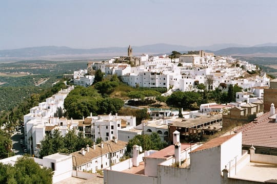
Many towns and villages in the region carry the words ‘de la Frontera’ in their name: Arcos, Jerez, Vejer, Castellar. For more than two centuries, until the fall of Granada in 1492, this region was the frontier between Castile and the Nasrid kingdom. Vejer de la Frontera is perched on a hill, a few kilometres from the sea. It has kept its ramparts and its white lanes.
The women of Vejer wore the cobijado, a black veil that left a single eye showing, until it was banned in the 1930s. Throughout the region, the villages are whitewashed, hence their name, the pueblos blancos. The lime kept out the heat; it is still applied every year.
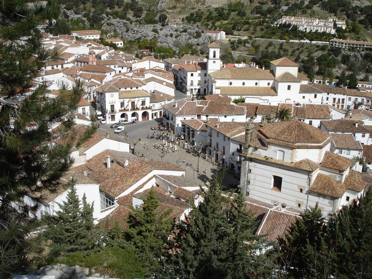
Between Ronda and Arcos, the Sierra de Grazalema is one of the rainiest places in Spain. Clouds from the Atlantic sometimes drop more than two metres of rain a year here. The sierra shelters a rare forest of Spanish fir, the pinsapo, a relic of the ice ages. Zahara de la Sierra, beneath the tower of its castle, looks down on a turquoise reservoir. At Setenil de las Bodegas, the houses are built under rock overhangs; some streets have a ceiling of stone. Its neighbour, Olvera, stretches along a ridge, with its castle at the top.
The lime kept out the heat; it is still applied every year.
Ronda, the town on the ravine
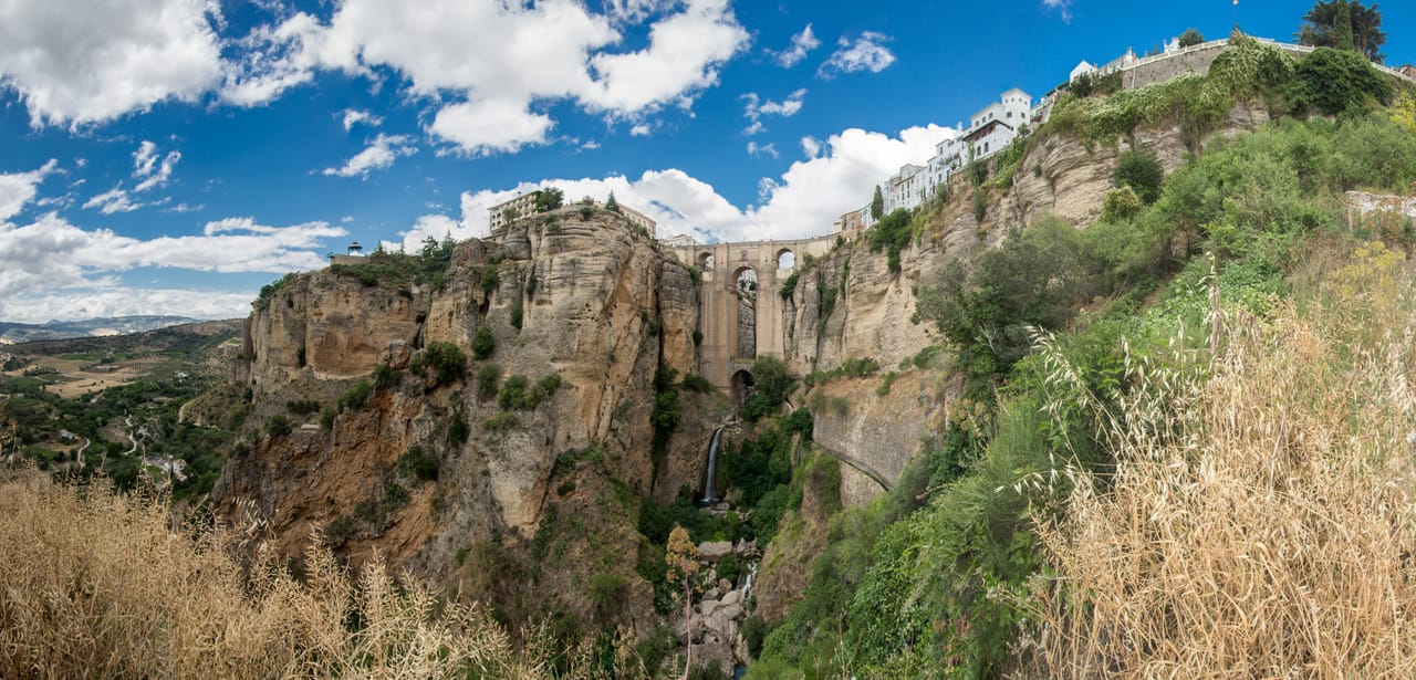
Ronda sits on a plateau split in two by El Tajo, a gorge some hundred metres deep cut by the Guadalevín. The Puente Nuevo spans the gorge. Finished in 1793 after more than thirty years of work, it links the old Moorish town to the Mercadillo quarter.
The town has one of the oldest bullrings in Spain, the Real Maestranza, opened in 1785. Hemingway and Orson Welles came often. Welles’s ashes rest on an estate nearby.
Cueva de la Pileta
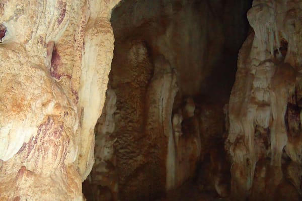
A cave decorated with prehistoric paintings, discovered in 1905 by a farmer looking for guano, and still run by his family. It is visited by lamplight, in small groups, as it always was.
Practical notes
- When to go
- March to June, then September and October. In summer the coast fills up and inland temperatures often pass 35 °C.
- Getting there
- Jerez has an airport. Seville is an hour’s drive from Jerez; Málaga, an hour and a half from Ronda.
- Access
- All tarmac. The sierra roads are narrow and winding; in the villages, leave the car on the edge.
- Sleeping in a van
- Campsites along the coast, from Conil to Tarifa, and in the sierra. In summer, overnight parking on the coast is watched and often fined.
- Worth knowing
- When the levante blows hard, the beaches of Tarifa and Bolonia become hard going: keep a day in hand.
- Allow
- Six days for the loop, eight to add Seville or the Doñana reserve.
What not to miss
- 1The Puente NuevoRonda’s bridge, to be seen from below as well, from the path that drops into the gorge.
- 2Arcos de la FronteraAn old town perched on the edge of a cliff, above the plain of the Guadalete.
- 3Setenil de las BodegasHouses and streets built beneath the rock.
- 4Baelo ClaudiaA Roman town on the edge of a white-sand beach.
- 5Vejer de la FronteraWhite lanes and a view over the Atlantic.
- 6CádizA city almost surrounded by the sea, founded by the Phoenicians three thousand years ago, as tradition has it.
The white villages in pictures
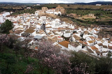
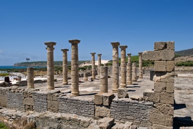
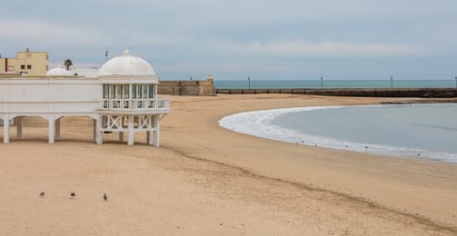
Setenil de las Bodegas and its houses beneath the rock.
The Cádiz table
Jerez and Sanlúcar are the towns of sherry: fino, dry and pale; Sanlúcar’s manzanilla, which picks up a salty edge beside the estuary; oloroso, darker and more amber. You taste them in the bodegas, cellars built like cathedrals.
On the coast, bluefin tuna from the almadraba, caught in spring in fixed nets by a very old technique, has made the name of Barbate and Zahara de los Atunes. In Sanlúcar, people eat the estuary’s langostinos and tortillitas de camarones, thin fritters studded with tiny shrimp.
Loop from Jerez de la Frontera


 +11stops
- 1Alcázar de Jerez de la Frontera · Castillo de Arcos de la Frontera
- 2Castillo de Zahara de la Sierra · Grazalema
- 3Setenil de las Bodegas · Puente Nuevo · Real Maestranza de Ronda
Free, no account needed — start from its places and make it yours.
Also worth reading
Coast and islands
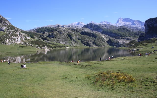
Cantabria, Asturias and the Picos de Europa
Between a coast of cliffs and limestone peaks rising twenty kilometres from the sea lies green Spain: painted caves, stone villages, high lakes and cider poured from a height. A week from Santander to Oviedo.
Coast and islands
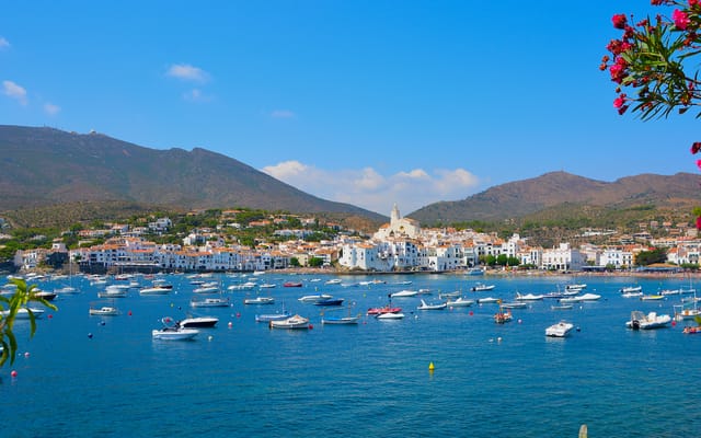
The Costa Brava, from Girona to Cadaqués
Coves between the pines, fishing villages turned artists’ refuges, medieval villages inland and, at the very end, Cap de Creus. Six days on a loop from Girona, in the footsteps of Dalí.
Coast and islands
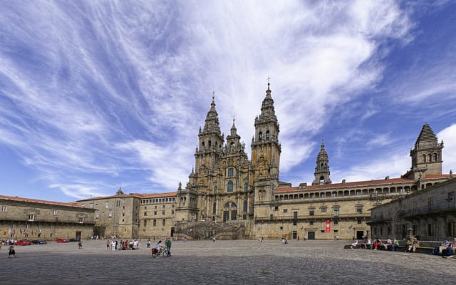
Galicia, from the rías to the end of the world
A coast cut into estuaries, lighthouses battered by the Atlantic, canyons planted with vines and Santiago de Compostela in the middle of it all. Eight days on a loop through the Costa da Morte, the Rías Baixas, the Ribeira Sacra and Cathedrals Beach.
A starting point, a few wishes — ViaLooma builds the trip day by day, map, stops and roadbook included.