The Serra da Estrela, from the granite of Torre to the schist of Piódão
In the heart of the country, the highest range in mainland Portugal still bears the marks of glaciers, of flocks and of a long-contested border. A six-day loop from Guarda, from the fortified villages of the Beira to the lakes of the plateau, and on to the schist houses of Piódão.
From the Torre plateau to the stone villages
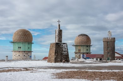
There is nothing Alpine about the Serra da Estrela. It is a granite plateau, bare and windswept, white with snow in winter and yellow with broom in late spring. A road climbs all the way to Torre, at 1,993 metres the highest point in mainland Portugal. Tradition has it that King João VI had a tower built there to reach 2,000 metres. Shortly before the summit, a seven-metre Virgin, Nossa Senhora da Boa Estrela, is carved into the rock.
The road then drops down towards Manteigas and the Poço do Inferno waterfall. At the foot of the south-eastern slope, Covilhã was once ‘Portugal’s Manchester’. Its wool museum, the Museu de Lanifícios, occupies the royal cloth factory founded in 1764.
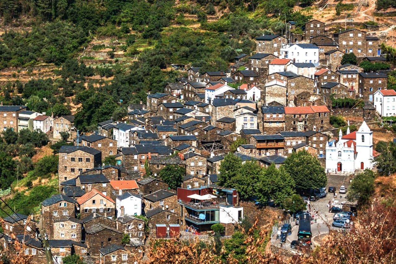
Around the range, the loop links seven of the twelve Aldeias Históricas: Belmonte, Sortelha, Monsanto, Idanha-a-Velha, Castelo Novo, Piódão and Linhares. In Piódão, at the end of a narrow, winding road, the schist houses rise in tiers up the slope of the Serra do Açor.
The border villages
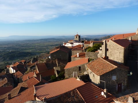
In 1938, Salazar’s propaganda went looking for ‘the most Portuguese village in Portugal’. Monsanto won, with its houses tucked beneath enormous granite boulders. The prize was a silver cockerel; a replica still sits on top of the Lucano tower. In the plain, Idanha-a-Velha was a Roman city, then the seat of an early medieval bishopric. A quarter of an hour from Monsanto, at Penha Garcia, the quartzite of the Ponsul gorge holds trilobite tracks some 480 million years old.
Further north, Guarda, at 1,056 metres, is the highest city in the country. Sancho I granted it a charter in 1199, facing the kingdom of León. Until the late 13th century, the border ran roughly along the Côa. Sortelha, shut in behind its walls, defended the Portuguese bank. In 1296, King Dinis took the far bank. Above the river, Sabugal raises a pentagonal keep.
In Belmonte, families of Jews forcibly converted at the end of the 15th century practised their rites in secret for four centuries. A mining engineer, Samuel Schwarz, came across them in 1917; their synagogue opened in 1996. The town was also the birthplace of Pedro Álvares Cabral, who reached Brazil in 1500.
Ice carved out the Zêzere valley, a U thirteen kilometres long, from the river’s source down to Manteigas.
A mountain carved by ice
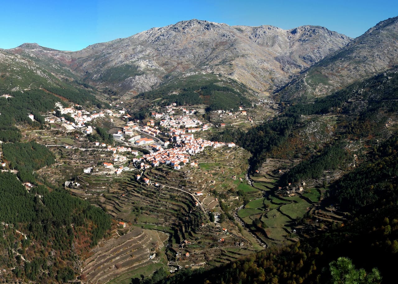
At the height of the last ice age, an ice cap covered the Torre plateau. Ice carved out the Zêzere valley, a U thirteen kilometres long, from the river’s source down to Manteigas. The range has been a Unesco Global Geopark since 2020.
On the plateau, the glacial hollows have become lakes, often enlarged by dams: Lagoa Comprida is the largest. At Covão dos Conchos, a funnel-shaped spillway built in 1955 diverts a stream through a tunnel to Lagoa Comprida. The Mondego, the longest river entirely within Portugal, also rises on the plateau.
Trancoso Castle
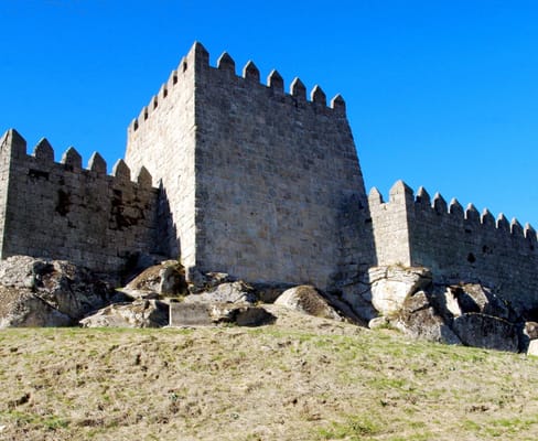
The eighth Aldeia Histórica on the route: a small town ringed by ramparts, beneath its castle. King Dinis married Isabel of Aragon here in 1282. In the 16th century, the shoemaker Bandarra wrote prophetic verses here that would later feed Sebastianism.
Practical notes
- When to go
- Late May–June, when the broom is in flower, then September–October. In summer, the fire risk can close trails.
- Getting there
- Guarda is two hours from Porto, three from Lisbon and under two from Salamanca.
- Access
- Narrow, winding roads to Piódão and the Poço do Inferno. Park at the entrance to the villages.
- Sleeping in a van
- Overnight stays in a motorhome or van are banned in the nature park and Natura 2000 zones, except at authorised sites: dedicated aires or campsites.
- Worth knowing
- From October to April, snow can close the road to Torre: check with the Proteção Civil before heading up.
- Allow
- Six days for the loop from Guarda, plus a day or two to walk on the plateau.
What not to miss
- 1SortelhaAn entire village inside its ramparts — best seen at sunset.
- 2The Rota dos FósseisAt Penha Garcia, a trail through the Ponsul gorge, past old mills and slabs marked by trilobites.
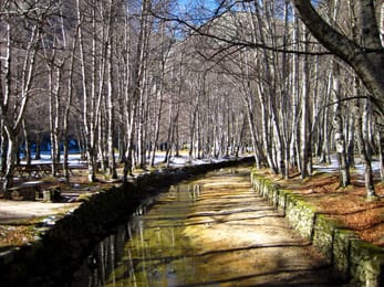
- 3Covão d’AmetadeA glacial cirque planted with birches, just below the springs of the Zêzere.
- 4Covão dos ConchosA lake pierced by a giant funnel, reached on foot from Lagoa Comprida.
- 5PiódãoThe schist village whose blue doors, so the story goes, owe their colour to the only paint the village shop sold.
- 6Linhares da BeiraA castle on its spur. The village is a paragliding hotspot and has hosted a round of the World Cup.
The Serra da Estrela in pictures
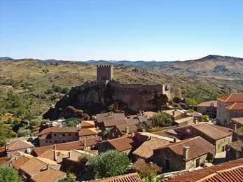
Sortelha: red-tiled roofs at the foot of the castle, perched on its granite spur.
The Serra’s table
The mountain has its own cheese, queijo Serra da Estrela: raw ewe’s milk, curdled with thistle flower and matured for at least thirty days. Young, it is eaten with a spoon; requeijão, made from the whey, comes with pumpkin jam.
The western slope belongs to the Dão wine region, and Seia devotes an entire museum to bread. To the south-east, in May and June, the Cova da Beira yields the Fundão cherries. And in Manteigas, workshops have revived burel, the fulled woollen cloth of shepherds’ capes.
Loop from Guarda
 +17stops
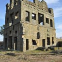
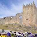
- 1Sé da Guarda · Torre de Centum-Cellas · Castelo de Belmonte · Sortelha
- 2Castelo do Sabugal · Penha Garcia · Monsanto
- 3Idanha-a-Velha · Castelo de Castelo Novo · Museu de Lanifícios da Universidade da Beira Interior
Free, no account needed — start from its places and make it yours.
Also worth reading
Wide open spaces
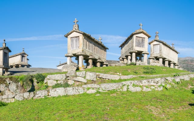
The Minho and Peneda-Gerês, from Portugal’s cradle to its granite granaries
In northern Portugal, facing Galicia, the Minho is a land of granite, rain and maize, and it was here that the kingdom was born. Six days on a loop from Braga, through Peneda-Gerês park, its mountain villages and the border river down to the Atlantic.
Wide open spaces
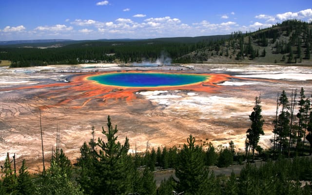
Yellowstone, Grand Teton and Glacier: the great Rockies road trip
Three national parks on one road, from the Tetons to the glaciers of Montana, by way of the geysers of Yellowstone. Twelve days from Jackson to Kalispell, with bison by the roadside and two great mountain roads.
Wide open spaces
California’s national parks, from Joshua Tree to Yosemite
Five national parks, from the lowest point in North America to the giant sequoias. A two-week loop from Los Angeles, through the Mojave Desert, Death Valley, the Sierra Nevada and Yosemite.
A starting point, a few wishes — ViaLooma builds the trip day by day, map, stops and roadbook included.