New Zealand’s North Island, from the Bay of Islands to Tongariro
From the beaches of the Bay of Islands to the volcanoes of Tongariro, the North Island brings together kauri forests, hot springs and Māori history. An eleven-day loop from Auckland, through the Coromandel, Rotorua and Taupō.
From the northern beaches to the central volcanoes
The North Island is best done as a loop from Auckland. To the north, the road reaches the Bay of Islands, then crosses Northland to the Tasman Sea. Further on, SH12 runs through Waipoua Forest, among the kauri trees. Tāne Mahuta is a few minutes from the car park. It stands more than 45 metres tall; its age is estimated at between 1,250 and 2,500 years.
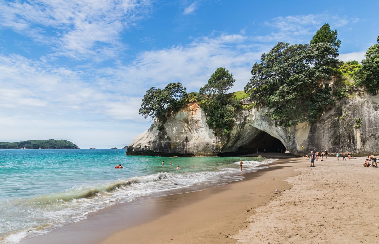
On the Coromandel Peninsula, you walk to the arch of Cathedral Cove. At Hot Water Beach, a hot spring rises under the sand, up to 64 °C. You dig your own bath there from two hours before to two hours after low tide.
In Rotorua, the springs steam in the middle of town. After Lake Taupō, the Desert Road crosses a tussock plateau and climbs to 1,074 metres, at the foot of three volcanoes. The way back goes through the Waitomo Caves and the surf bay of Raglan.
Waitangi and the Bay of Islands
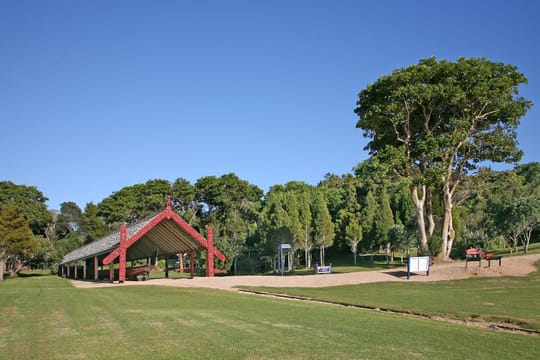
On 6 February 1840, at Waitangi, the representative of the British Crown and Māori chiefs signed a treaty. It is New Zealand’s founding document. Its anniversary is the national day. On the site, you visit the Treaty House, the carved meeting house Te Whare Rūnanga and a great war canoe, Ngātokimatawhaorua. The treaty exists in two versions, English and Māori, which do not say the same thing about sovereignty.
This gap still matters today. In 1975, the state set up the Waitangi Tribunal, which hears Māori claims against the Crown.
Across the bay, Russell used to be called Kororāreka. In the early 19th century, it was a whaling port with a bad reputation. On Maiki Hill, the chief Hōne Heke cut down the British flagstaff four times in 1844 and 1845, which started the Northern War. In Kerikeri, the Stone Store, built between 1832 and 1836, is described as the oldest intact stone building in the country.
It is New Zealand’s founding document.
Rotorua, Taupō and Tongariro, a volcanic land
The centre of the island sits on the Taupō Volcanic Zone. Rotorua is the land of the Te Arawa. At Te Puia, Pōhutu Geyser shoots up to 30 metres. At Wai-O-Tapu, the Champagne Pool steams between orange rims, and the Lady Knox Geyser is set off with soap every morning at 10.15 am. Lake Taupō fills a caldera formed mainly by the Oruanui eruption, about 25,500 years ago. At Huka Falls, the Waikato, the country’s longest river, squeezes into a channel about fifteen metres wide.
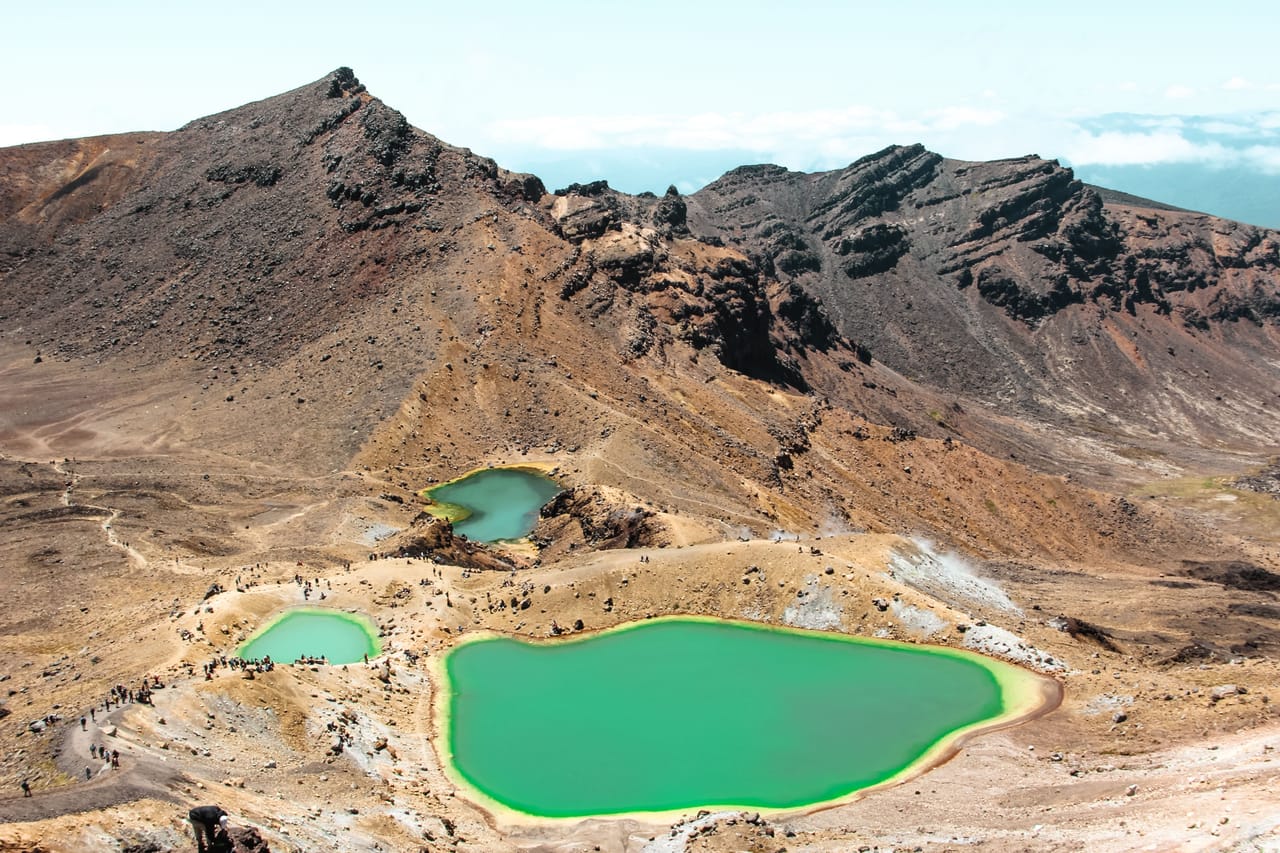
Further south, Tongariro National Park is the country’s first: in 1887, the chief Te Heuheu Tukino IV gave the sacred peaks to the Crown so that they would be protected. UNESCO listed it in 1990 for its nature, then in 1993 as a cultural landscape. The Tongariro Alpine Crossing, 19.4 kilometres between craters and emerald lakes, takes a day.
Waimangu Volcanic Rift Valley
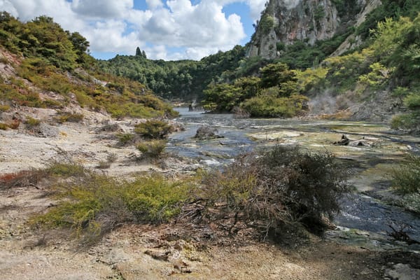
The valley was born in the eruption of Mount Tarawera on 10 June 1886. You walk down it for about four kilometres, past Frying Pan Lake, described as the largest hot spring in the world. A boat then takes you round Lake Rotomahana.
Practical notes
- When to go
- December to April, the southern summer and early autumn. From June to October, snow can close the Desert Road.
- Getting there
- Flights to Auckland, usually with one stop. Traffic drives on the left.
- Access
- Sealed roads, slow, with many one-lane bridges. The toll road north of Auckland is paid online within five days.
- Sleeping in a van
- Plenty of campsites, including those run by the Department of Conservation. On council land, freedom camping requires a certified self-contained vehicle, with a fixed toilet.
- Worth knowing
- Book Hobbiton, Waitomo and the Tongariro Alpine Crossing shuttle. In kauri forests, you clean your shoes at the entrance.
- Allow
- Eleven days for the loop, two more for the Tongariro Alpine Crossing and Cape Reinga, in the far north. Wellington, the capital, and its Te Papa museum are more than four hours south of Tongariro.
What not to miss
- 1Tāne MahutaThe great kauri of Waipoua, named after Tāne, the Māori god of the forest.
- 2Cathedral CoveAn arch carved into the cliff, in a marine reserve created in 1992.
- 3HobbitonThe hobbits’ village, on a sheep farm spotted in 1998 by Peter Jackson’s team.
- 4The Waitomo CavesBy boat, beneath glow-worms found only in New Zealand.
- 5Karangahake GorgeTunnels and the ruins of gold mines along the Ohinemuri River.
- 6MaungawhauThe crater of Mount Eden, 196 metres above Auckland.
The North Island in pictures
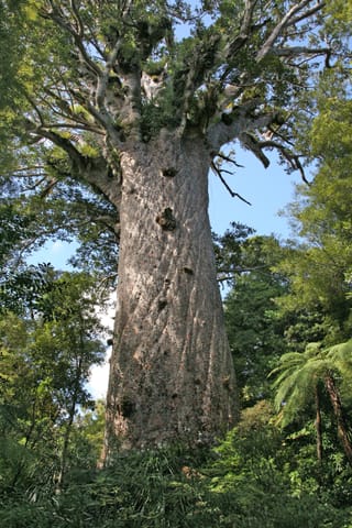
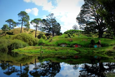
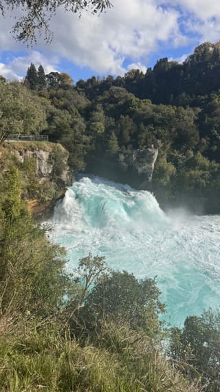
The trunk of Tāne Mahuta, among the tree ferns of Waipoua.
The North Island table
The hāngī is the traditional Māori way of cooking: meat and vegetables cooked for several hours in an earth oven, on hot stones. It is used to cook kūmara, a sweet potato brought by the first Polynesians.
On the coast, you eat fish and chips and Bay of Islands oysters. Pāua, an abalone with a shell of mother-of-pearl, is made into fritters. For dessert, hokey pokey ice cream mixes vanilla with pieces of honeycomb toffee. To drink, there are wines from Hawke’s Bay and from Waiheke Island, off Auckland.
Loop from Auckland


 +31stops
- 1Whangārei Falls · Russell · Flagstaff Hill
- 2Waitangi Treaty Grounds · Haruru Falls · Stone Store · Arai-Te-Uru Recreation Reserve
- 3Tane Mahuta · Te Matua Ngahere · Kauri Museum
Free, no account needed — start from its places and make it yours.
Also worth reading
Wide open spaces
New Zealand’s South Island by van, from Kaikōura to Milford Sound
Whales, three passes over the Southern Alps, glaciers, fiords and penguins. A seventeen-day loop from Christchurch, around the South Island.
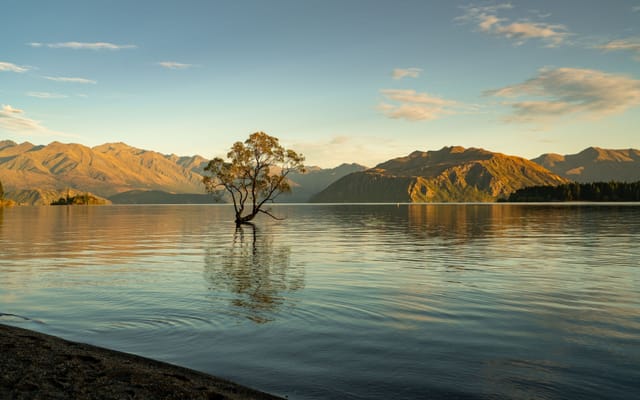
Wide open spaces
New Zealand in three weeks, from Auckland to Queenstown
From the beaches of the Coromandel to the fiords of Fiordland, by way of the geysers of Rotorua and the glaciers of the West Coast. Three weeks on the road from Auckland to Queenstown, across both islands.
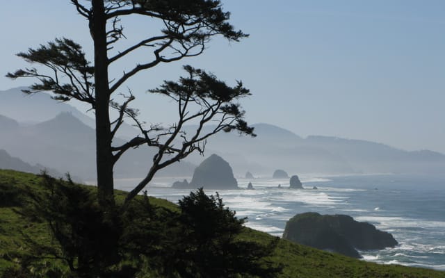
Wide open spaces
The Pacific Northwest, from the Olympic Peninsula to the Cascade volcanoes
Rainforests, a coast of headlands and lighthouses, redwoods and two active volcanoes. A two-week loop from Seattle, by way of the Olympic Peninsula, the Oregon coast and Mount Rainier.
A starting point, a few wishes — ViaLooma builds the trip day by day, map, stops and roadbook included.