Vancouver Island, from Victoria to the beaches of Tofino
An island of giant forests, beaches pounded by the Pacific and small harbours where boats leave to see orcas. Nine days on a loop from Victoria, from Port Renfrew to Tofino and up to Telegraph Cove.
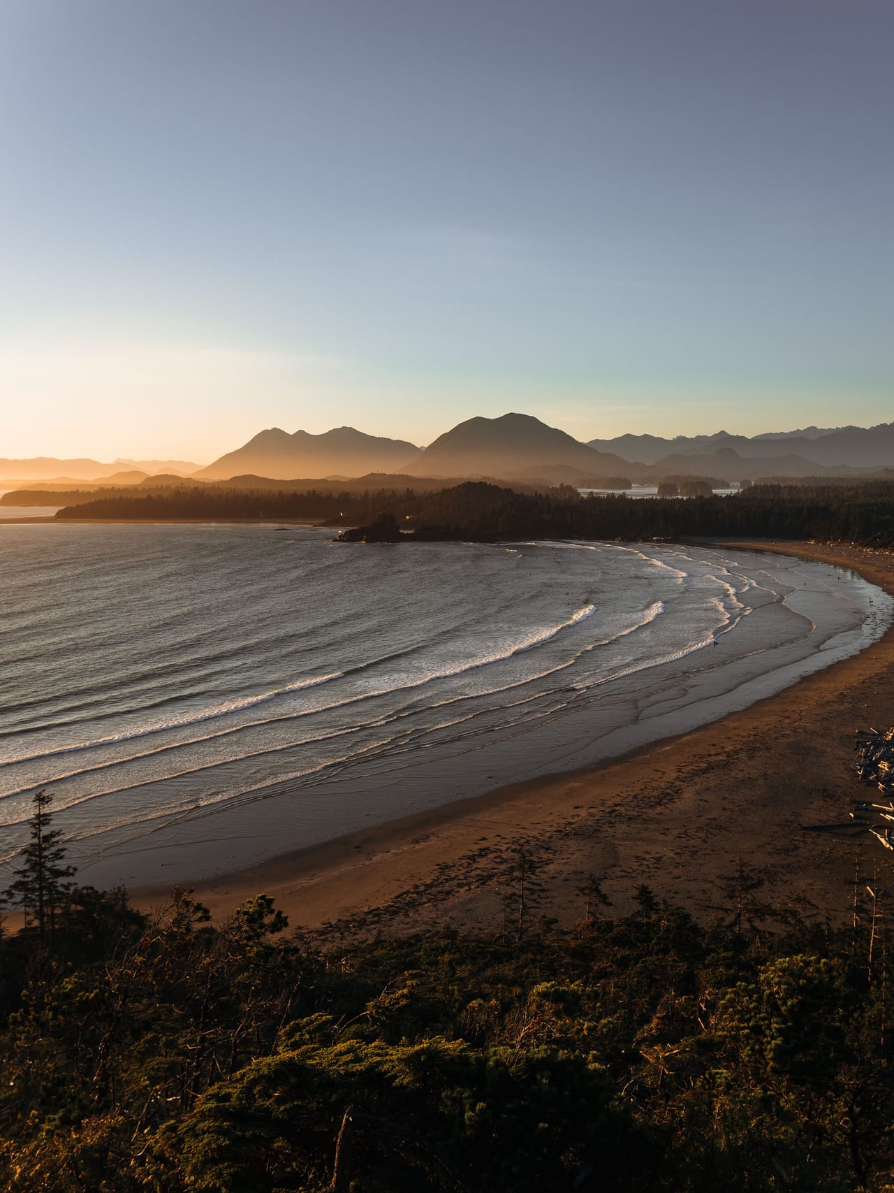
An island between forest and Pacific
Vancouver Island is about 460 kilometres long. The trip starts in Victoria, the capital of British Columbia, which you explore on foot around the harbour, between the Parliament Buildings and the Empress hotel. At the corner of Beacon Hill Park, a marker shows Mile Zero of the Trans-Canada Highway. Highway 14 then follows the Strait of Juan de Fuca to Port Renfrew. There, the pools of Botanical Beach are uncovered at low tide, with their starfish and sea anemones.
Highway 4 is the only road to Tofino and Ucluelet. It runs through Coombs, where goats graze on the roof of a market in summer, then between the tall trees of Cathedral Grove. At the end, Long Beach stretches for kilometres of sand between the forest and the breakers. Tofino is where the surfers gather; in Ucluelet, the Wild Pacific Trail follows the coast. From Tofino, boats go out to see grey whales and, at low tide, black bears on the shore.
The north is wilder. After Campbell River, Highway 19 crosses about 200 kilometres of forest to Telegraph Cove, a former telegraph station that became a hamlet on stilts. A fire destroyed part of its wooden boardwalk at the end of 2024. From May to October, boats leave from here to see the orcas and humpback whales of Johnstone Strait.
The island’s First Nations
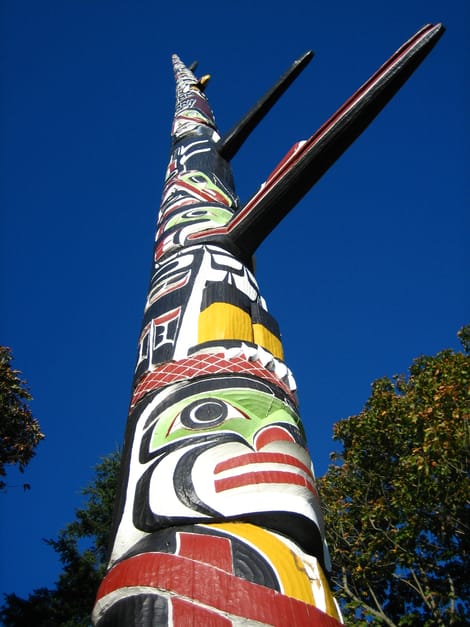
Victoria is built on the territory of the Lekwungen, from whom the Songhees and Esquimalt Nations descend. In Beacon Hill Park, the great totem pole was carved from a single cedar by Mungo Martin, a Kwakwaka’wakw chief, with his son David and the carver Henry Hunt. Raised in 1956, it stands 38.8 metres tall and was then the tallest totem pole in the world.
The north of the island is the land of the Kwakwaka’wakw. From 1884 to 1951, a federal law banned First Nations from holding the potlatch, the great gift-giving ceremony that marks births, marriages and deaths. On the west coast live the Nuu-chah-nulth, who once hunted whales from canoes. On the shore of Sproat Lake, the K’ak’awin petroglyphs show mythological figures; no one knows how old they are.
Duncan calls itself the “City of Totems”: there are around forty in its streets. It is also a place to buy Cowichan sweaters, hand-knitted in undyed wool.
Raised in 1956, it stands 38.8 metres tall and was then the tallest totem pole in the world.
The old-growth forest and the “War in the Woods”
The west coast gets very heavy rain, which grows a temperate rainforest of Douglas firs, western red cedars and Sitka spruce. In Cathedral Grove, some Douglas firs are more than 800 years old; the largest is more than 9 metres round. Storms regularly bring trees down there.
In 1993, protesters blocked the logging roads of Clayoquot Sound, near Tofino, to stop the felling. There were more than 850 arrests, a record in Canada. Only the Fairy Creek blockades, near Port Renfrew, from 2020 onwards, have surpassed it. Clayoquot Sound became a Unesco biosphere reserve in 2000.
Myra Falls
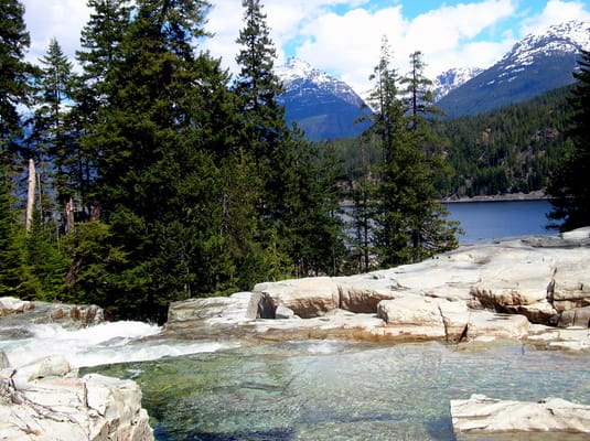
Strathcona, created in 1911, is the oldest provincial park in British Columbia. The road runs along Buttle Lake below snowy peaks. A one-kilometre trail leads to Lower Myra Falls, a series of falls and pools.
Practical notes
- When to go
- June to September. The resident orcas are mostly around from mid-July to mid-September. In November, the salmon run up the river at Goldstream.
- Getting there
- From Vancouver, BC Ferries links Tsawwassen with Swartz Bay, near Victoria, and Horseshoe Bay with Nanaimo. Book in summer.
- Access
- Everything is tarmac. Highway 14 is narrow and often without mobile signal: fill up in Sooke. Highway 4 sometimes closes for a few hours at Cameron Lake: check DriveBC.ca.
- Sleeping in a van
- Campsites in the provincial parks, from Goldstream to Miracle Beach. Sleeping outside campsites is banned in Tofino, Ucluelet and the Pacific Rim reserve.
- Worth knowing
- A Parks Canada pass is required at Long Beach. Avatar Grove is closed to the public, with no reopening date. Orca-watching trips must be booked.
- Allow
- Nine days for the loop, eight without Telegraph Cove.
What not to miss
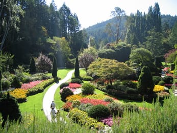
- 1The Butchart GardensThe Sunken Garden, created from 1909 onwards in a worked-out limestone quarry.
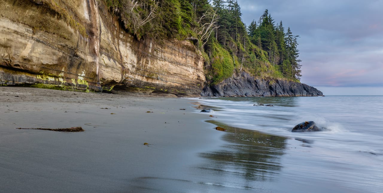
- 2Botanical BeachSandstone shelves hollowed with tide pools, best seen at low tide.
- 3Cathedral GroveDouglas firs more than 800 years old, beside Highway 4.
- 4Long BeachThe great beach of the Pacific Rim reserve, between Tofino and Ucluelet.
- 5The Kinsol TrestleA wooden railway bridge from 1920, 44 metres high, reopened to walkers in 2011.
- 6Elk FallsA suspension bridge 64 metres above the canyon.
Vancouver Island in pictures
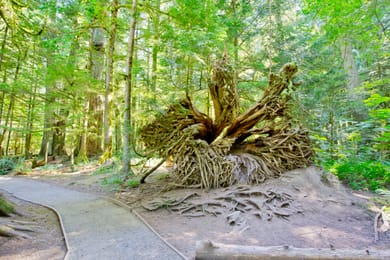
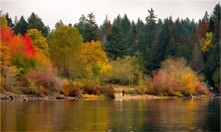
The old-growth forest of Cathedral Grove, its trunks and roots covered in moss.
The Vancouver Island table
On the island, most of what you eat comes from the sea. Salmon is sold fresh or smoked, and Campbell River calls itself the “Salmon Capital of the World”. Fanny Bay’s oysters are well known; in Victoria, you eat fish and chips on the floating docks of Fisherman’s Wharf.
The Cowichan Valley makes wine and cider. For something sweet, the Nanaimo bar layers a biscuit base, buttercream and chocolate. At the Empress, afternoon tea is still served in the English style.
Loop from Victoria


 +27stops
- 1Royal British Columbia Museum · Beacon Hill Park · Craigdarroch Castle · Butchart Gardens
- 2Fort Rodd Hill National Historic Site · Sooke Potholes Provincial Park · French Beach Provincial Park · Botanical Beach
- 3Fairy Lake · Gordon Bay Provincial Park · Chemainus · Bastion
Free, no account needed — start from its places and make it yours.
Also worth reading
Wide open spaces
Eastern Canada, from Toronto to Quebec City
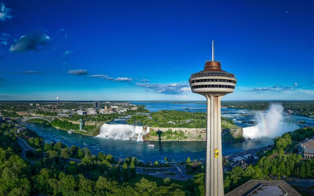
From Niagara Falls to the walls of Quebec City, the best way to see Eastern Canada is to follow the water. Eleven days on the road, through the Thousand Islands, the Rideau Canal, Ottawa, Montreal and the lakes of the Mauricie.
Wide open spaces
The Canadian Rockies, from Banff to Jasper
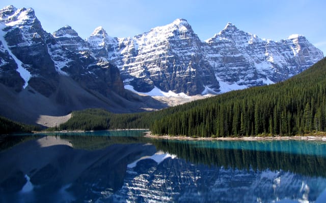
Turquoise lakes, glaciers beside the road and peaks over 3,000 metres high. Ten days on a loop from Calgary, through Banff, Kootenay, Yoho, the Icefields Parkway and Jasper.
Wide open spaces
Around the Gaspé Peninsula on Route 132
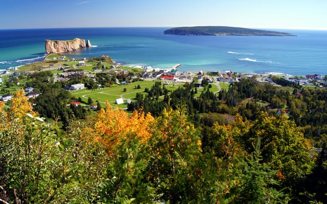
A ten-day loop from Quebec City on Route 132, around the Gaspé Peninsula. Lighthouses, cliffs, treeless summits and Percé Rock, between the St Lawrence River and the Gulf of St Lawrence.
A starting point, a few wishes — ViaLooma builds the trip day by day, map, stops and roadbook included.