The Canadian Rockies, from Banff to Jasper
Turquoise lakes, glaciers beside the road and peaks over 3,000 metres high. Ten days on a loop from Calgary, through Banff, Kootenay, Yoho, the Icefields Parkway and Jasper.
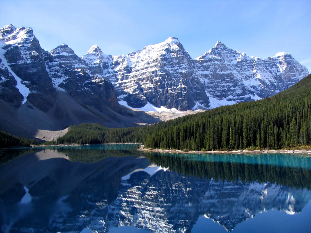
From Banff to Jasper
From Calgary, the Trans-Canada Highway leaves the prairie and enters the mountains before Canmore. An hour and a half from Calgary, you reach Banff, with its hot springs and the Sulphur Mountain gondola. Four national parks meet here: Banff, Jasper, Yoho and Kootenay. Elk graze by the roadside; if a bear appears, stay in the car.
The lakes are the reason for the trip. Lake Louise and Moraine Lake have the turquoise water of glacial lakes; Moraine Lake was on the back of the 1969 and 1979 twenty-dollar notes. In Yoho, you go to see Emerald Lake and Takakkaw Falls. In Kootenay, you see Marble Canyon and the Paint Pots, springs where the Ktunaxa took their ochre.
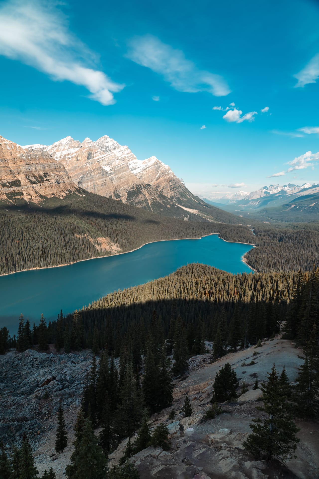
Then comes the Icefields Parkway, about 230 kilometres to Jasper, with no mobile signal. The road runs along Bow Lake and climbs to Bow Summit, at 2,070 metres, which looks down on Peyto Lake. It then passes below the Athabasca Glacier. From Saskatchewan River Crossing, a detour leads to Abraham Lake, a turquoise reservoir. From Jasper, a road runs up the Maligne valley to the lake.
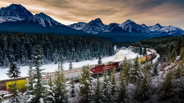
The railway and the first parks
In 1883, workers on the Canadian Pacific Railway, which was building the transcontinental line, found a cave of hot water at the foot of Sulphur Mountain. In 1885, the government set aside the land around the springs: this was the start of Banff, Canada’s first national park. The company wanted travellers. Its president, William Van Horne, is said to have declared: “If we can’t export the scenery, we’ll import the tourists.” It opened the Banff Springs Hotel in 1888, then a chalet on the shore of Lake Louise.
You can visit the cave, Cave and Basin, in Banff. Lake Louise already had a name: for the Stoney Nakoda, it was the “Lake of Little Fishes”. Today it bears the name of Princess Louise, a daughter of Queen Victoria.
The railway also had to cross the Kicking Horse Pass. In 1884, the line went down it at a gradient of 4.5%. In 1909, two spiral tunnels brought it down to 2.2%. From the Spiral Tunnels viewpoint, you can sometimes see a long train coming out of the mountain while its tail has not yet gone in.
In 125 years, the glacier has retreated more than a kilometre and a half and lost more than half its volume.
The Columbia Icefield and the turquoise lakes
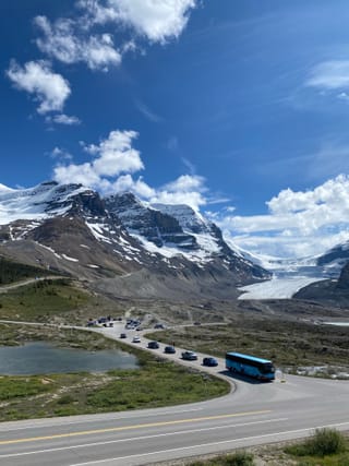
The Columbia Icefield covers about 325 km². Its meltwater flows to three oceans: the Pacific, the Atlantic by way of Hudson Bay, and the Arctic. Its best-known tongue, the Athabasca Glacier, comes down almost to the road. A trail climbs to its toe, past markers that show where the ice once stood. In 125 years, the glacier has retreated more than a kilometre and a half and lost more than half its volume.
The colour of the lakes comes from these glaciers. The ice grinds the rock into a very fine powder, rock flour, which the streams carry down to the lakes. Suspended in the water, it reflects the blue-green part of the light. The turquoise is strongest in July and August, when the melt is at its peak.
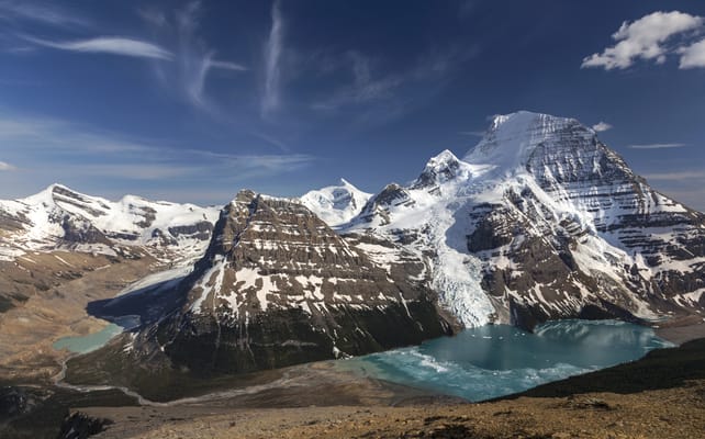
Mount Robson
The highest peak in the Canadian Rockies, at 3,954 metres. From the visitor centre, you see its south face, often in the clouds. Berg Lake, in the photo, is at the end of a trail of about twenty kilometres.
Practical notes
- When to go
- Mid-June to the end of September. The Moraine Lake shuttle runs from early June to mid-October, the Takakkaw Falls road is open from mid-June to mid-October.
- Getting there
- Banff is an hour and a half from Calgary airport.
- Access
- Everything is tarmac, except the 2 km gravel road to Wapta Falls, in Yoho. The Moraine Lake road is closed to cars: you go up by Parks Canada shuttle, booked ahead, from the Lake Louise park-and-ride.
- Sleeping in a van
- Parks Canada campgrounds, to be booked early. The car park on the shore of Lake Louise is closed to motorhomes.
- Worth knowing
- A Parks Canada pass is required as soon as you stop in a park, and on the whole of the Icefields Parkway. In Jasper, after the 2024 wildfire, Maligne Canyon is still closed in 2026.
- Allow
- Ten days for the loop, half a day more for Mount Robson.
What not to miss
- 1Moraine LakeAt sunrise, facing the Ten Peaks.
- 2Lake LouiseThe lake from above, from the Big Beehive trail.
- 3Johnston CanyonCatwalks fixed to the canyon wall, all the way to the falls.
- 4Takakkaw FallsA main drop of more than 250 metres, at the end of a road of hairpin bends.
- 5The Peyto Lake viewpointA glacier-blue lake seen from above, at Bow Summit.
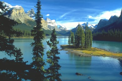
- 6Maligne LakeSpirit Island, a small wooded island you see up close by boat.
The Canadian Rockies in pictures
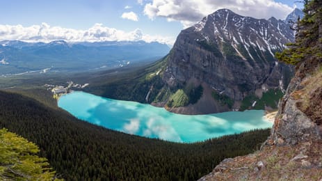
Lake Louise from above, from the Big Beehive trail.
The Alberta table
Alberta is cattle country: Alberta beef comes as a steak or a burger. For dessert, there are pies made with saskatoon berries, a small purple berry of the Prairies.
The Caesar, a cocktail of vodka with tomato and clam juice, was born in Calgary in 1969. Banff, Canmore and Jasper have their own craft breweries.
Loop from Calgary


 +33stops
- 1Cave and Basin National Historic Site · Bow Falls · Vermilion Lakes
- 2Sulphur Mountain · Banff Upper Hot Springs · Lake Minnewanka · Two Jack Lake
- 3Johnston Canyon · Marble Canyon · Numa Falls · Radium Hot Springs
Free, no account needed — start from its places and make it yours.
Also worth reading
Wide open spaces
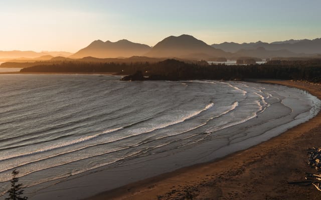
Vancouver Island, from Victoria to the beaches of Tofino
An island of giant forests, beaches pounded by the Pacific and small harbours where boats leave to see orcas. Nine days on a loop from Victoria, from Port Renfrew to Tofino and up to Telegraph Cove.
Wide open spaces
Eastern Canada, from Toronto to Quebec City
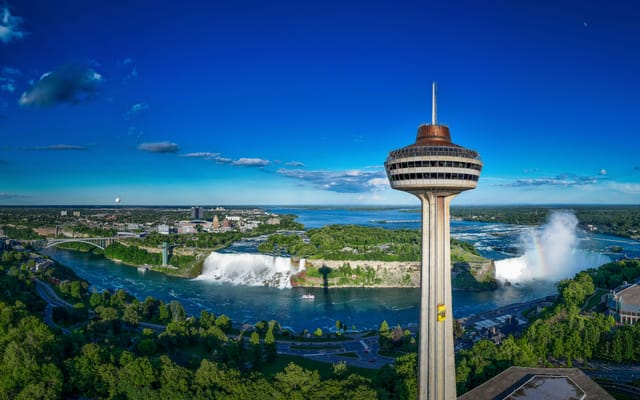
From Niagara Falls to the walls of Quebec City, the best way to see Eastern Canada is to follow the water. Eleven days on the road, through the Thousand Islands, the Rideau Canal, Ottawa, Montreal and the lakes of the Mauricie.
Wide open spaces
Around the Gaspé Peninsula on Route 132
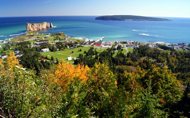
A ten-day loop from Quebec City on Route 132, around the Gaspé Peninsula. Lighthouses, cliffs, treeless summits and Percé Rock, between the St Lawrence River and the Gulf of St Lawrence.
A starting point, a few wishes — ViaLooma builds the trip day by day, map, stops and roadbook included.