Around the Gaspé Peninsula on Route 132
A ten-day loop from Quebec City on Route 132, around the Gaspé Peninsula. Lighthouses, cliffs, treeless summits and Percé Rock, between the St Lawrence River and the Gulf of St Lawrence.
Route 132 around the peninsula
From Quebec City, Route 132 follows the south shore of the St Lawrence. After Kamouraska and its low houses, Bic National Park lines up coves and wooded headlands; at low tide, seals rest on the rocks. The Gaspé loop starts at Sainte-Flavie: about 885 kilometres around the peninsula.
On the north coast, the road runs between the cliff and the sea. It drops down into each village, Mont-Saint-Pierre, Grande-Vallée, Petite-Vallée, then climbs back up steep hills. Inland, the Chic-Chocs rise above 1,000 metres. You walk there on treeless plateaus.
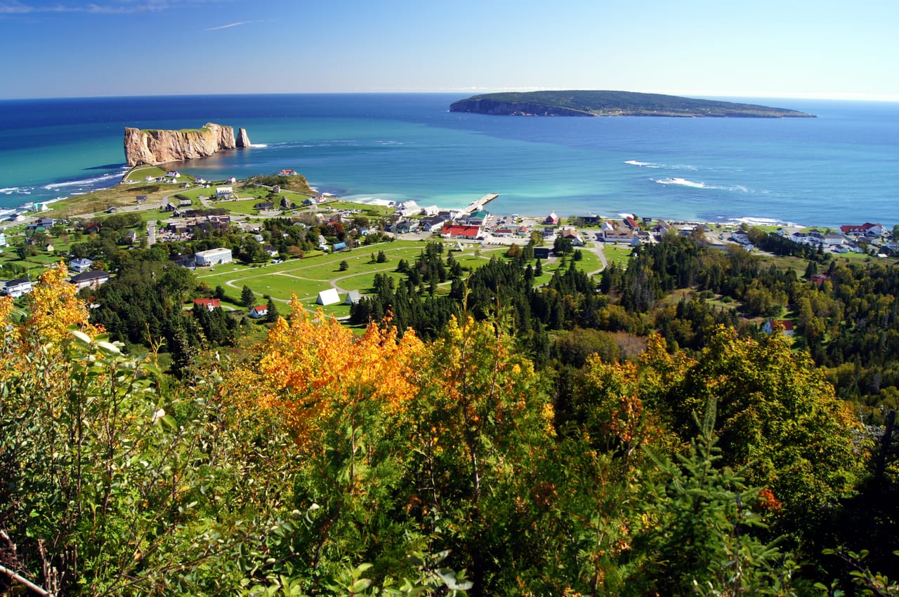
At the tip of the peninsula, Forillon National Park ends in cliffs over the gulf. From June to October, whale-watching cruises leave from there. Then the road reaches Percé by the Pic de l’Aurore: Percé Rock and Bonaventure Island appear all at once, just below the road. The way back follows Chaleur Bay, which is calmer, and crosses the forests of the Matapédia Valley.
The lighthouses of the St Lawrence
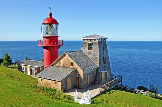
Along the 132, lighthouses follow one another for hundreds of kilometres. The one at Pointe-à-la-Renommée is a red tower above the gulf. In 1904, the Marconi company set up a radiotelegraph station there to communicate with ships in the gulf. In 1977, the lighthouse was taken apart and moved to Quebec City. It returned to its point twenty years later, in 1997.
Further east, the Cap-des-Rosiers lighthouse, completed in 1858, stands 34 metres tall: it is the tallest in Canada. At La Martre, the wooden lighthouse from 1906 has kept its original clockwork mechanism, a cable and weights that turned the light.
These lighthouses did not prevent every shipwreck. On the night of 29 May 1914, the Empress of Ireland sank off Rimouski in fourteen minutes, after a collision in the fog. 1,012 people died. The Pointe-au-Père Maritime Historic Site tells the story of the wreck, next to a concrete lighthouse from 1909. You can also visit a submarine there, the Onondaga, set up on dry land.
These lighthouses did not prevent every shipwreck.
Gaspé, cod and the Acadians
The name Gaspé comes from the Mi’gmaq word Gespeg, “land’s end”. The Mi’gmaq fished and hunted on the peninsula long before the Europeans arrived. On 24 July 1534, Jacques Cartier had a wooden cross raised at Gaspé and took possession of the land in the name of the King of France.
For centuries, the coast lived off cod. From 1766, the merchant Charles Robin, from the island of Jersey, made the Paspébiac sandbar his base: the cod was salted, dried and then shipped to Europe. The fishermen bought everything on credit at the company store and often stayed in debt. Further west, on Chaleur Bay, Acadians fleeing the Expulsion founded Bonaventure in 1760. The Musée acadien du Québec there tells their story.
Mont Jacques-Cartier
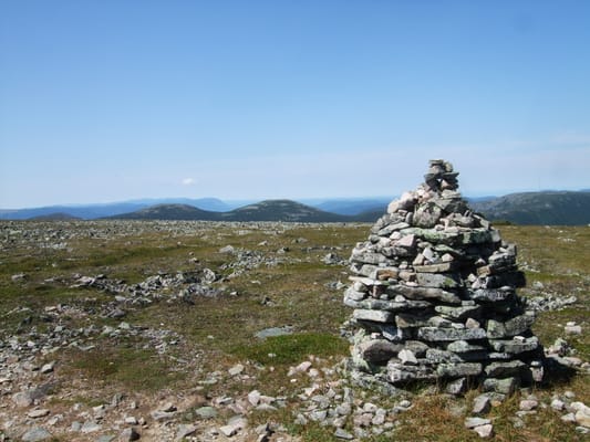
At 1,268 metres, it is the highest summit in southern Quebec: a tundra plateau that is home to some of the last caribou south of the St Lawrence. To protect them, the trail only opens in summer, with a park shuttle, and you must not leave it. The dates change from year to year: check them with Sépaq.
Practical notes
- When to go
- July and August for the boats and services, September for the colours of the maples. From mid-October, many sites close.
- Getting there
- Sainte-Flavie, where the loop starts, is about three and a half hours from Quebec City. Airports at Quebec City, Mont-Joli and Gaspé.
- Access
- Everything is tarmac. Between Sainte-Anne-des-Monts and Rivière-au-Renard, the hills are steep: in a van, use engine braking on the way down.
- Sleeping in a van
- Campsites in Bic, Gaspésie and Forillon national parks, to book in July and August. Several tourist villages ban sleeping outside campsites.
- Worth knowing
- Quebec’s national parks (Sépaq) and Forillon (Parks Canada) each charge their own entry fee. At Percé Rock, keep away from the base: stones fall from it all year round.
- Allow
- Ten days on a loop from Quebec City, plus half a day for Mont Jacques-Cartier.
What not to miss
- 1Bic National ParkCoves, seals and the view from Pic Champlain, at 346 metres.
- 2The Reford GardensThe garden created by Elsie Reford between 1926 and 1958, with its Himalayan blue poppy.
- 3Mont AlbertA serpentine plateau above the treeline, for a long day’s walk.
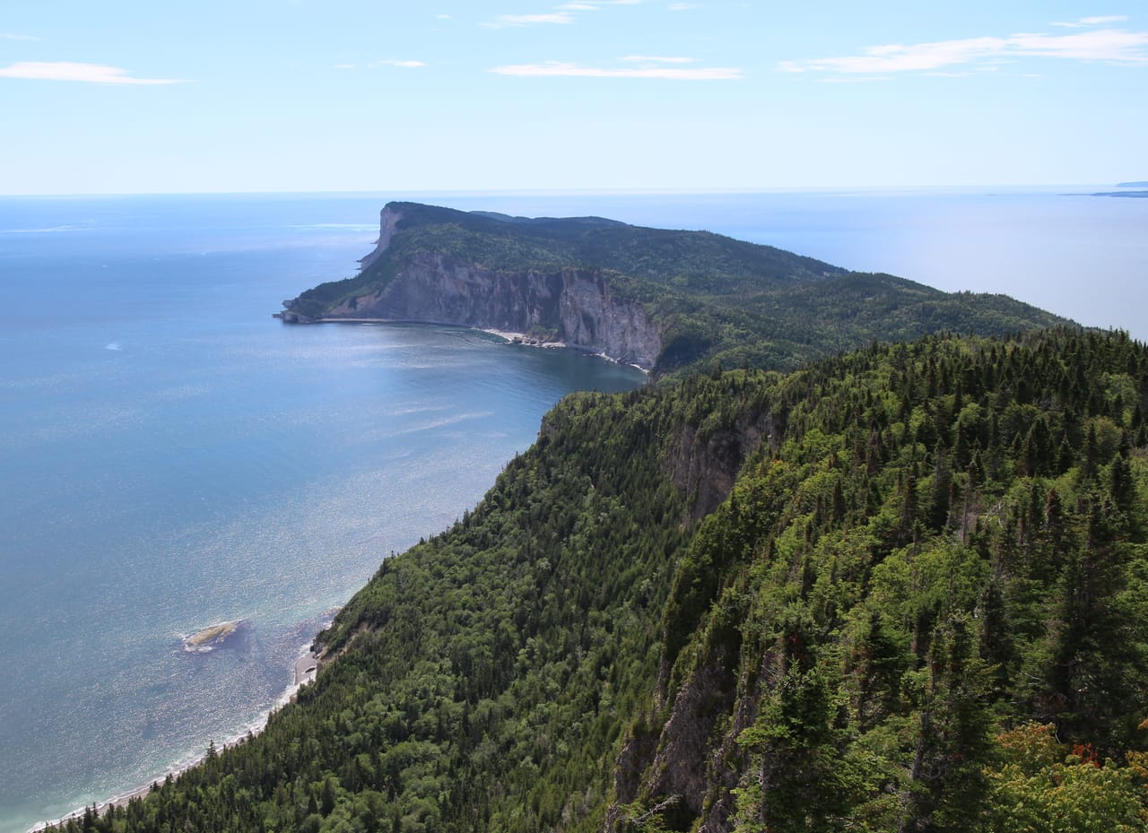
- 4Cap GaspéThe Forillon trail that leads to the tip of the peninsula, above the cliffs.
- 5Bonaventure IslandBy boat from Percé, one of the largest northern gannet colonies in the world.
- 6Miguasha National ParkFossil fish about 380 million years old, on the World Heritage List since 1999.
The Gaspé Peninsula in pictures
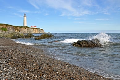
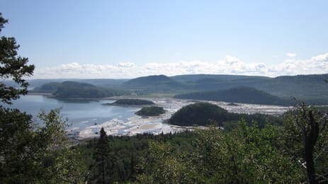
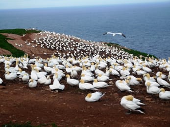
The Cap-des-Rosiers lighthouse at the end of a shingle beach.
The Gaspé table
On the Gaspé Peninsula, people eat what comes from the sea first. Matane is known for its northern shrimp, served as a guédille, in a small hot dog bun. Cod, halibut and lobster arrive fresh at the fishmongers, and the smokehouses along the coast prepare salmon and other smoked fish.
The peninsula has its own beers too. Pit Caribou brews at L’Anse-à-Beaufils and runs a pub in Percé. In Carleton-sur-Mer, Le Naufrageur serves beers brewed on site in its pub, facing Chaleur Bay.
Loop from Quebec City


 +26stops
- 1Musée Maritime du Québec · Musée régional de Kamouraska · Bas-Saint-Laurent Museum
- 2Parc national du Bic · Site historique maritime de la Pointe-au-Père · Jardins de Métis
- 3Phare de Matane · Éole Cap-Chat · Exploramer · Chute Sainte-Anne
Free, no account needed — start from its places and make it yours.
Also worth reading
Wide open spaces
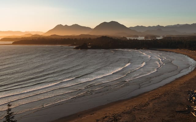
Vancouver Island, from Victoria to the beaches of Tofino
An island of giant forests, beaches pounded by the Pacific and small harbours where boats leave to see orcas. Nine days on a loop from Victoria, from Port Renfrew to Tofino and up to Telegraph Cove.
Wide open spaces
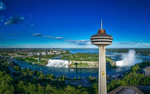
Eastern Canada, from Toronto to Quebec City
From Niagara Falls to the walls of Quebec City, the best way to see Eastern Canada is to follow the water. Eleven days on the road, through the Thousand Islands, the Rideau Canal, Ottawa, Montreal and the lakes of the Mauricie.
Wide open spaces
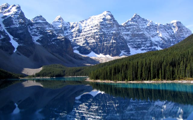
The Canadian Rockies, from Banff to Jasper
Turquoise lakes, glaciers beside the road and peaks over 3,000 metres high. Ten days on a loop from Calgary, through Banff, Kootenay, Yoho, the Icefields Parkway and Jasper.
A starting point, a few wishes — ViaLooma builds the trip day by day, map, stops and roadbook included.