The Transalpina, from Novaci to Alba Iulia
The Transalpina is the highest road in Romania: it crosses the Carpathians at 2,145 metres, at the Urdele Pass. This four-day trip follows it from Oltenia to the citadels of Transylvania.
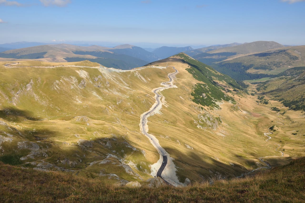
The highest road in Romania
The Transalpina, route 67C, crosses the Parâng Mountains over 148 kilometres, to Sebeș. It leaves the orchards of Oltenia and climbs in hairpins through the beech forest to Rânca, a small resort at around 1,600 metres. Higher up, the trees disappear. You drive across short-grass pastures to the Urdele Pass, at 2,145 metres, the highest point of Romania’s road network.
Up there, you pass flocks of sheep guarded by dogs, and shepherds selling their cheese by the roadside. Fog can roll in within minutes. There are many bears, and feeding them is forbidden.
At the Obârșia Lotrului junction, a detour leads to Lake Vidra. The road climbs again to the Tărtărău Pass, then drops through the fir trees towards lakes Oașa and Tău Bistra and the Sebeș valley, in Transylvania. Before the climb, the Oltenian foothills are worth half a day: the monastery and cave of Polovragi, and the Peștera Muierilor.
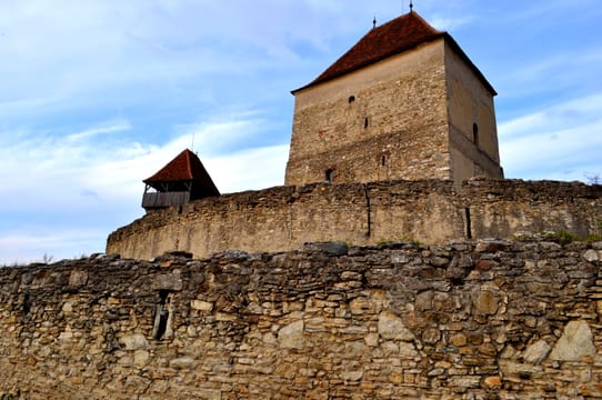
Dacians and Saxons in the Sebeș valley
In Câlnic, around 1270, a Saxon nobleman, Chyl de Kelling, had a residential tower built, surrounded by an oval wall and a water-filled moat. In 1430, the last count sold the fortress to the villagers. They added a second wall and stores to hold out against a siege. Since 1999, Câlnic has been one of the Transylvanian villages with fortified churches on the Unesco World Heritage List. It is a peasant citadel, built around a knight’s keep.
Further up the valley, a Dacian fortress stands on a hill above Căpâlna. It guarded the eastern flank of Sarmizegetusa Regia, the capital of the Dacian kings, and was destroyed by the Romans around 106, when Trajan completed the conquest of Dacia. It takes about half an hour to walk up. It is one of the six Dacian fortresses of the Orăștie Mountains listed by Unesco.
Sebeș, Mühlbach in German, was a Saxon town. Its Evangelical church has a large Gothic choir, completed around 1380.
The Devil’s Path became the King’s Road.
The story of the Transalpina
Before the road, there was a shepherds’ path, the Poteca Dracului, the ‘Devil’s Path’. According to one tradition, the Roman legions laid a road here during the wars against the Dacians; nothing proves it. From 1934 to 1939, King Carol II had a road built for the mountain artillery. The Devil’s Path became the King’s Road.
After that, it was left almost without upkeep for decades. Modernisation began in 2009. Work stopped in 2013: the company in charge of the works went bankrupt. It had been started without environmental approval, even though the road crosses five protected areas. Yet the high section officially opened in 2015, without being finished. It still closes every night and all winter.
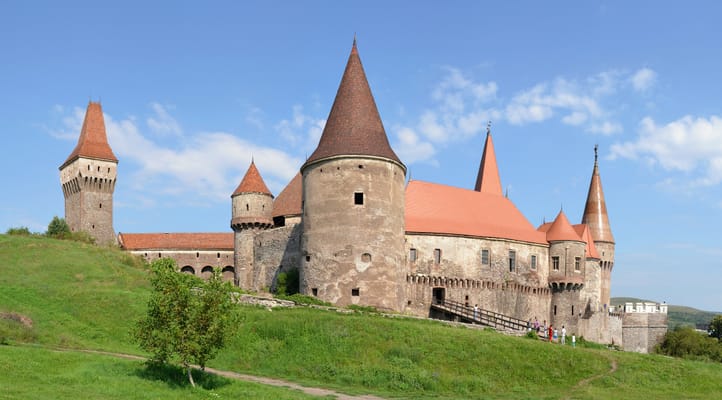
Corvin Castle
John Hunyadi transformed this castle from 1446 onwards, on a rock above the river: towers, a knights’ hall, a bridge on pillars. Vlad the Impaler is said, without proof, to have been held prisoner here.
Practical notes
- When to go
- July to September. The high section opens at the end of May or in June and closes around mid-October, depending on the snow; by late October, it is usually already closed until spring.
- Getting there
- Novaci is about two hours from Craiova airport; Alba Iulia, an hour from Sibiu airport.
- Access
- Everything is tarmac. In the mountains, 30 km/h at most, and a barrier closed at night: in 2026, open from 9 am to 8 pm in June, from 7 am to 9 pm in July–August.
- Sleeping in a van
- The road is closed to vehicles over 3.5 tonnes: large motorhomes cannot get through. Sleep in Rânca the night before the pass; there is a campsite near Șugag.
- Worth knowing
- The road vignette (rovinietă) is required, online or at a petrol station. Fill up in Novaci and check the state of the road on the CNAIR website.
- Allow
- Four days, five with Hunedoara. At least three hours for the mountain section.
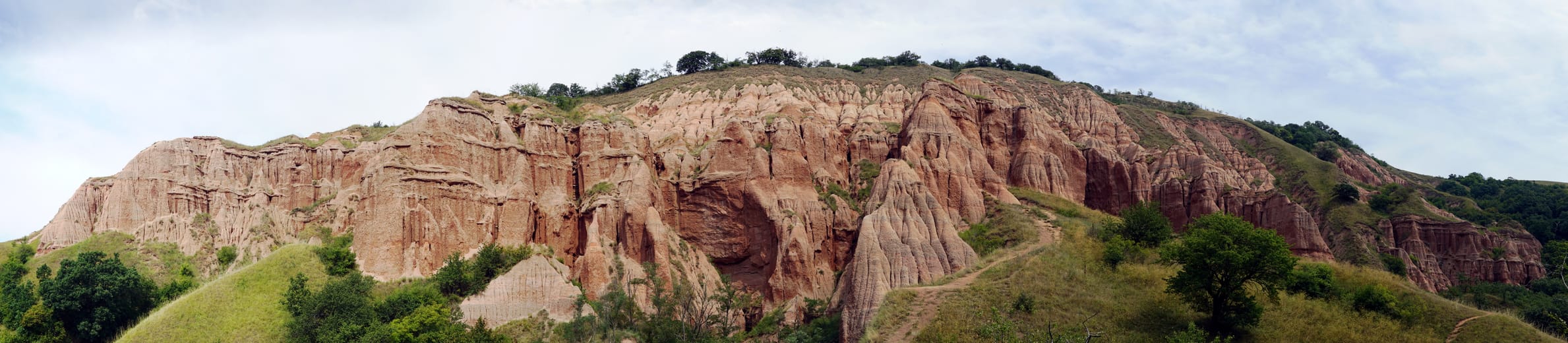
What not to miss
- 1Lake VidraA large reservoir at nearly 1,300 metres, east of the Obârșia Lotrului junction.
- 2The Peștera MuierilorThe ‘Women’s Cave’, where women and children are said to have taken refuge during the wars.
- 3Polovragi Monastery and CaveA church rebuilt in 1645, painted in 1713; according to legend, Zalmoxis, the spiritual master of the Dacians, lived in the cave next door.
- 4Râpa RoșieA cliff of red clay carved into columns and gullies, just north of Sebeș.
- 5The Alba Carolina CitadelA star-shaped fortress built by the Habsburgs from 1715 to 1738, on the Roman camp of Apulum.
- 6The cathedrals of Alba IuliaSt Michael’s holds the tomb of John Hunyadi; Ferdinand and Marie were crowned in 1922 in the cathedral next door.
The Transalpina in pictures
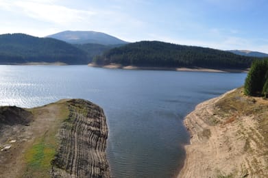
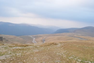
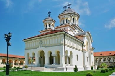
Oașa Lake between its fir-clad slopes, on the way down to Sebeș.
Food along the Transalpina
By the roadside, shepherds sell their sheep’s cheeses: caș, which is fresh, and brânză de burduf, packed into a sheep’s stomach or into fir bark. In the huts of Rânca and Oașa, you eat mici, small grilled sausages, and a ciorbă, the Romanian sour soup.
In Oltenia, people drink țuică, a plum brandy. On the Transylvanian side, the Jidvei vineyards, on the Târnave rivers, produce mostly white wines.
Novaci → Alba Iulia


 +10stops
- 1Peștera Muierilor · Mănăstirea Polovragi · Peștera Polovragi · Muzeul Civilizației Montane
- 2Transalpina · Belvedere lac Vidra · Barajul Oașa
- 3Cetatea dacică de la Căpâlna · Cetatea din Câlnic · Biserica evanghelică din Sebeș
Free, no account needed — start from its places and make it yours.
Also worth reading
Mountains and passes
Maramureș and Bukovina
In the north of Romania, two mountain regions keep wooden churches and monasteries with frescoes on their outside walls. This trip crosses them in eight days, from Baia Mare to the Bicaz Gorge and Lacul Roșu.
Mountains and passes
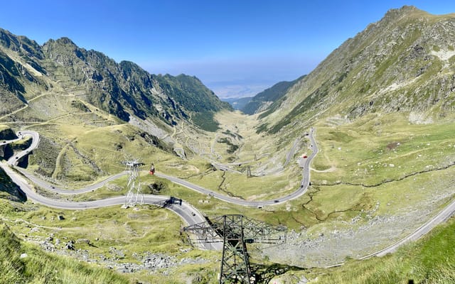
The Transfăgărășan, from Sibiu to Curtea de Argeș
A mountain road built by the army in the 1970s, crossing the Făgăraș Mountains at 2,042 metres. A four-day loop from Sibiu, by Bâlea Lake, Vidraru Lake, Poenari Citadel and the Olt valley.
Wide open spaces
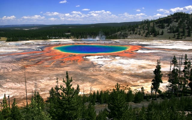
Yellowstone, Grand Teton and Glacier: the great Rockies road trip
Three national parks on one road, from the Tetons to the glaciers of Montana, by way of the geysers of Yellowstone. Twelve days from Jackson to Kalispell, with bison by the roadside and two great mountain roads.
A starting point, a few wishes — ViaLooma builds the trip day by day, map, stops and roadbook included.