Luxembourg, from Little Switzerland to the Moselle
Mossy sandstone rocks, castles above the rivers and vineyards along the Moselle. A four-day loop from Luxembourg City, in a country that measures 82 kilometres from north to south.
Sandstone, castles and vineyards
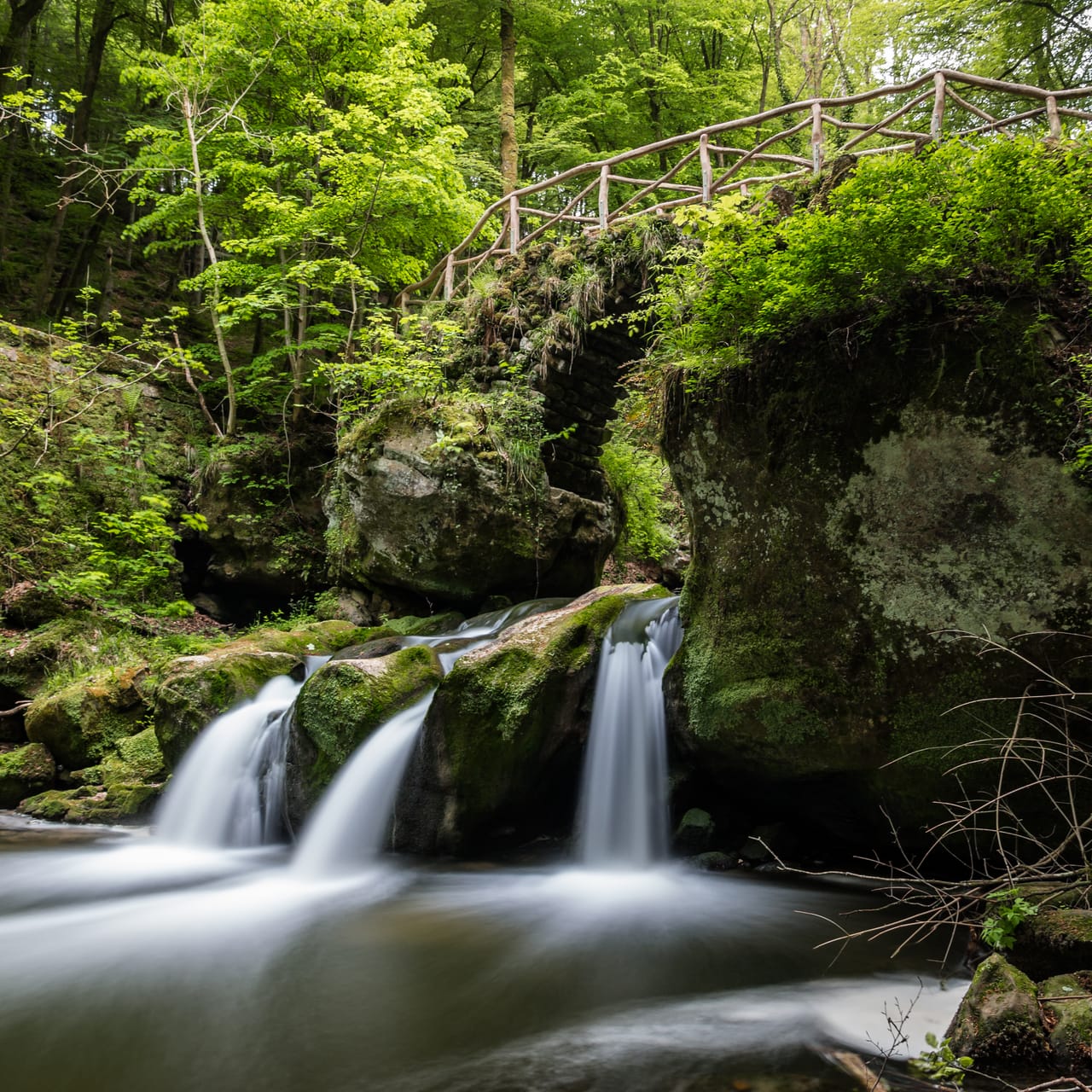
The country is small, but the landscapes change quickly. North-east of the capital, the Mullerthal, known as Luxembourg’s Little Switzerland, is a region of beech forests and mossy sandstone rocks. The Black Ernz road runs past the Schiessentümpel, a waterfall in three streams below a stone bridge from the late 19th century.
Further north, the road follows the Sûre and then the Our, which mark the border here: the far bank is German. Vianden Castle appears round a bend. In the Éislek, the Luxembourg Ardennes, Clervaux lies at the bottom of its valley and Esch-sur-Sûre in a bend of the Sûre.
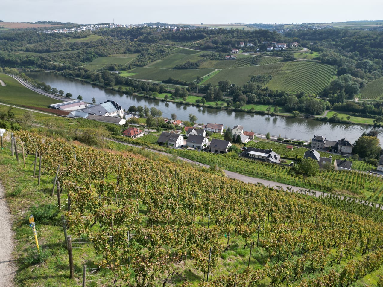
To the south-east, the road heads down to the Moselle. The wine route follows the river for 42 kilometres, between the vine-covered slopes and the German bank, as far as Schengen, where the agreement to remove border checks was signed in 1985.
The fortress of Luxembourg
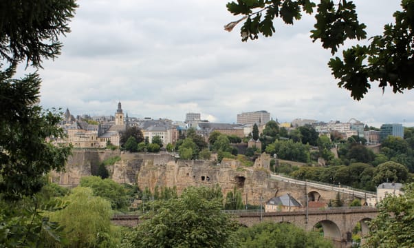
The capital stands on a plateau edged with cliffs, above the valleys of the Alzette and the Pétrusse. In 963, Count Siegfried acquired the Bock promontory in an exchange with St Maximin’s Abbey in Trier, and built a castle there. From the 15th to the 19th century, Burgundians, Spaniards, French, Austrians and Prussians fortified the town in turn. After the siege of 1684, Vauban enlarged the fortress for Louis XIV. It was later nicknamed the “Gibraltar of the North”. The old town and its fortifications have been on Unesco’s World Heritage List since 1994.
Below the ramparts, soldiers dug tunnels into the rock: the casemates. The network once reached 23 kilometres, and 17 remain. The Bock casemates are open to visitors, on several levels, with openings over the valley. During both world wars, the casemates were used as shelters for the population.
In 1867, the Treaty of London declared Luxembourg neutral and ordered the fortress to be dismantled. Part of the walls still stands. The Chemin de la Corniche, on the ramparts, looks straight down on the Grund, the lower district, on the banks of the Alzette.
During both world wars, the casemates were used as shelters for the population.
The sandstone of the Mullerthal
The Mullerthal owes its landscapes to Luxembourg sandstone, a rock formed from sands laid down in a shallow sea about 200 million years ago. Water and frost have cut it into blocks, gorges and narrow passages. Around Berdorf and Echternach, the paths run along the bottom of these cracks, as in the Wolf’s Gorge, between rock walls up to 50 metres high. Since 2022, the region has been a Unesco Global Geopark.
This sandstone was also quarried. The Hohllay, near Berdorf, is a large hall cut into the rock: the Romans are thought to have cut stone there already, and millstones were quarried from it in the Middle Ages. The castles of Larochette and Beaufort are built on the same rock. The Mullerthal Trail, 112 kilometres long, links the main sites in three loops.
Bourscheid Castle
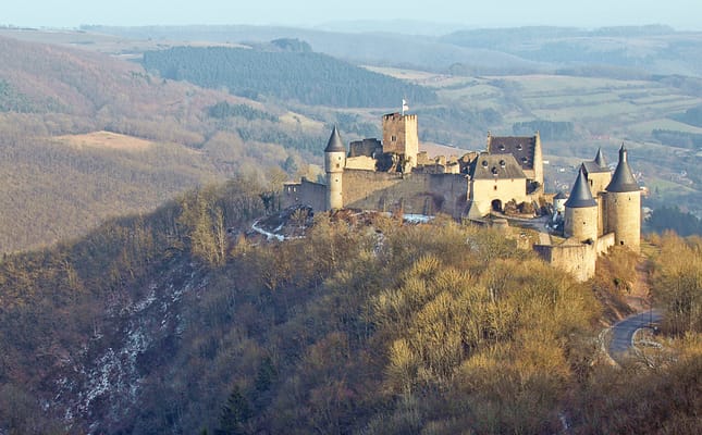
It is described as the largest castle in the country: a ruin on a spur, about 150 metres above a bend in the Sûre. After the restored castle of Vianden, it shows the other face of Luxembourg’s castles.
Practical notes
- When to go
- May to October. September and October are grape-harvest time on the Moselle. Many castles and campsites close in winter.
- Getting there
- Luxembourg City is an hour from Metz and about four hours from Paris. Airport at Luxembourg Findel.
- Access
- No vignette and no tolls. In the capital, leave the van at a park-and-ride: buses and trams are free across the whole country. Narrow roads in the Mullerthal and the Éislek.
- Sleeping in a van
- Wild camping is not allowed. Plenty of campsites along the Sûre, the Our and the Upper Sûre Lake, often closed from November to March.
- Worth knowing
- The Family of Man, in Clervaux, is closed on Mondays and Tuesdays, and in January and February.
- Allow
- Four days, and one or two more to walk one loop of the Mullerthal Trail.
What not to miss
- 1The Bock casematesTunnels dug into the rock, below the old town.
- 2The SchiessentümpelThe waterfall and its stone bridge, beside the Black Ernz road.
- 3EchternachThe abbey founded in 698 by St Willibrord, and the hopping procession, listed by Unesco as intangible cultural heritage.
- 4Vianden CastleA restored castle above the Our; Victor Hugo stayed in the town in 1871.
- 5The Family of ManThe 503 photographs brought together by Edward Steichen in 1955 for MoMA, on display at Clervaux Castle.
- 6The Moselle wine routeThe wine villages from Remich to Grevenmacher, and the view from the Këppchen.
Luxembourg in pictures
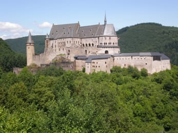
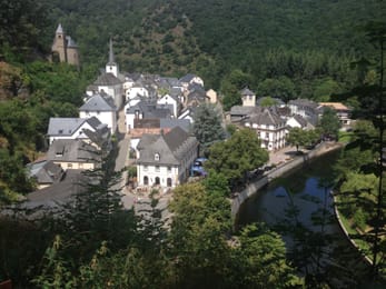
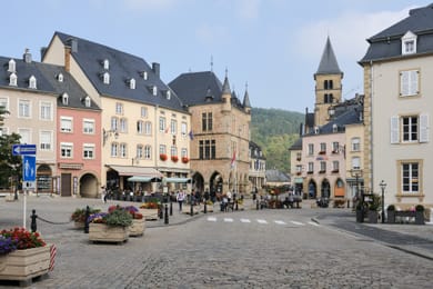
Vianden Castle above the forests of the Our.
Luxembourg food and wine
The Luxembourg Moselle produces mostly whites: Rivaner, Auxerrois, Riesling, Pinot Gris, and a Crémant de Luxembourg. By the water, people eat friture de la Moselle, small fried fish.
The national dish is Judd mat Gaardebounen, smoked pork collar with broad beans. At markets you find Gromperekichelcher, fried potato cakes. Late summer brings Quetschentaart, plum tart. At Beaufort Castle, they make Cassero, a blackcurrant liqueur.
Loop from Luxembourg City


 +14stops
- 1Palais grand-ducal · Cathédrale Notre-Dame de Luxembourg · Rocher du Bock · Abbaye de Neumünster
- 2Château de Larochette · Schiessentümpel · Buerg Beefort · Hohllay
- 3Echternach · Château de Vianden · Clervaux · Esch-sur-Sûre · Wolfsschlucht
Free, no account needed — start from its places and make it yours.
Also worth reading
Wide open spaces
The Pacific Northwest, from the Olympic Peninsula to the Cascade volcanoes
Rainforests, a coast of headlands and lighthouses, redwoods and two active volcanoes. A two-week loop from Seattle, by way of the Olympic Peninsula, the Oregon coast and Mount Rainier.
Wide open spaces
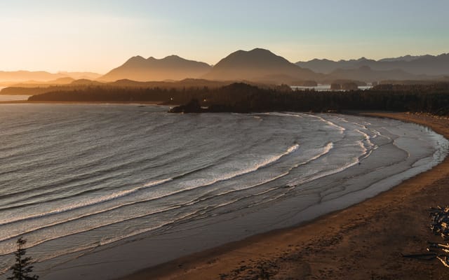
Vancouver Island, from Victoria to the beaches of Tofino
An island of giant forests, beaches pounded by the Pacific and small harbours where boats leave to see orcas. Nine days on a loop from Victoria, from Port Renfrew to Tofino and up to Telegraph Cove.
Wide open spaces
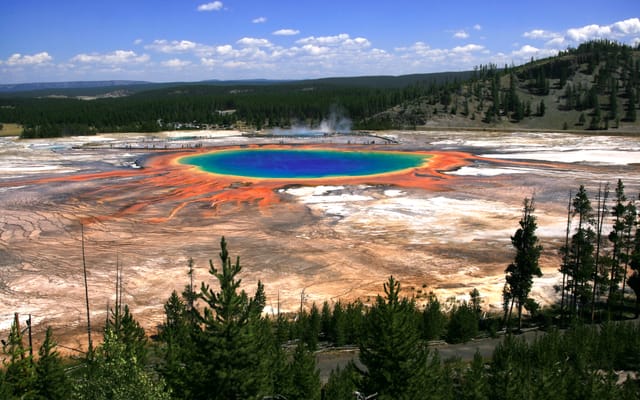
Yellowstone, Grand Teton and Glacier: the great Rockies road trip
Three national parks on one road, from the Tetons to the glaciers of Montana, by way of the geysers of Yellowstone. Twelve days from Jackson to Kalispell, with bison by the roadside and two great mountain roads.
A starting point, a few wishes — ViaLooma builds the trip day by day, map, stops and roadbook included.