Charlevoix and the North Shore, from Quebec City to Mingan
This trip follows the north shore of the St Lawrence in eight days, from Quebec City to the Mingan Archipelago. It takes in the villages of Charlevoix, the whales of Tadoussac and the wide open spaces of the North Shore.
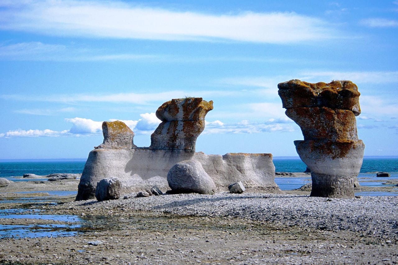
Along the St Lawrence, from Quebec City to Mingan
From Quebec City to Havre-Saint-Pierre, a single main road runs along the north shore of the St Lawrence: Route 138. The further east you drive, the wider the river gets, until it becomes the gulf. The villages grow further apart and the boreal forest takes over from the farms. From Tadoussac on, Route 138 is called the Whale Route.
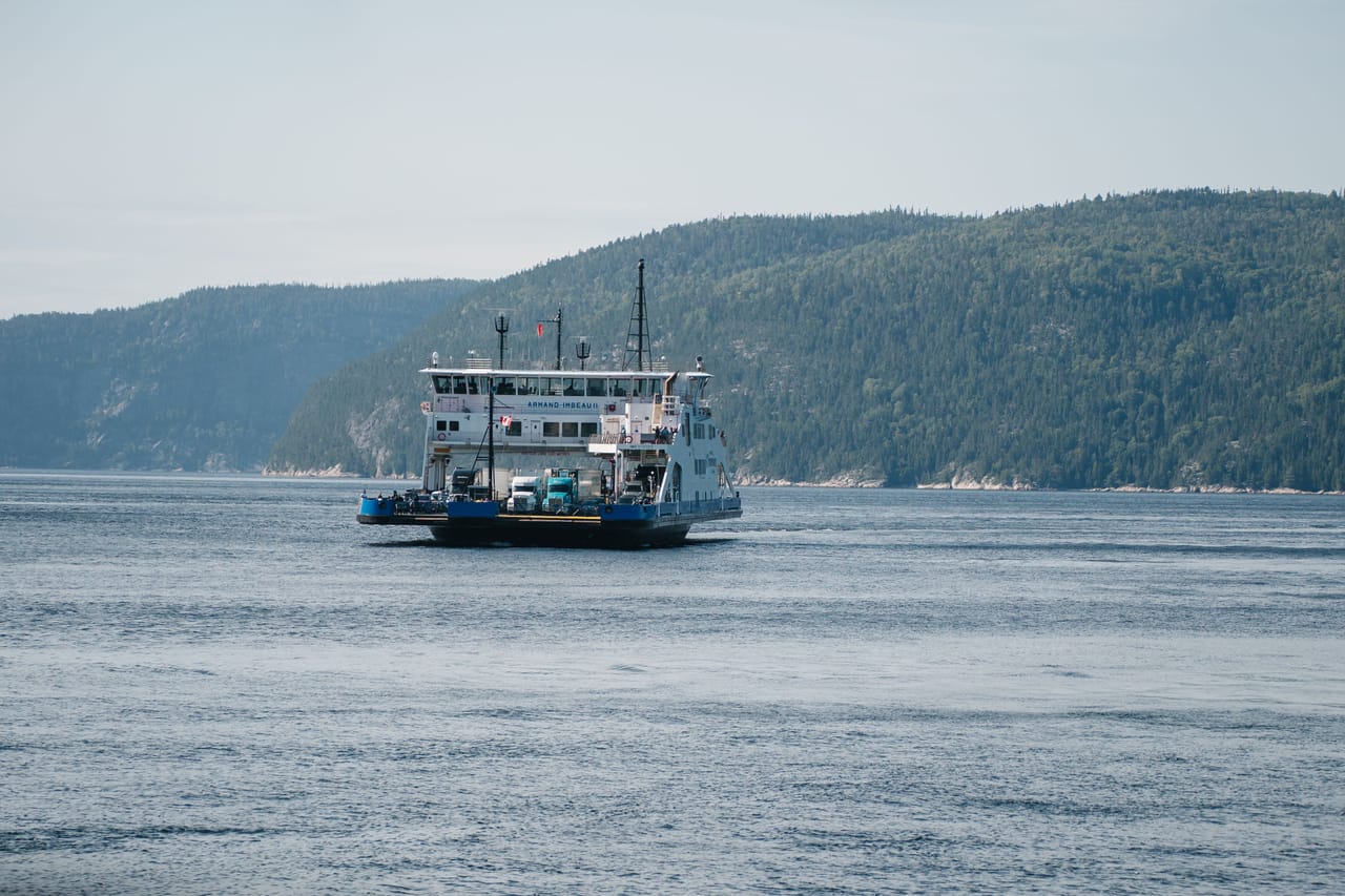
In Charlevoix, the Route du Fleuve links Baie-Saint-Paul to La Malbaie through Les Éboulements and Saint-Irénée, on steep slopes above the water. From Saint-Joseph-de-la-Rive, a free ferry goes to Isle-aux-Coudres, where a road runs 23 kilometres around the island. Further on, another free ferry crosses the mouth of the Saguenay in about ten minutes. Then, at Tadoussac, Les Bergeronnes and Les Escoumins, you watch for whales from the shore or from a boat.
On the North Shore, the land of the Innu, the distances grow longer. From Baie-Comeau, Route 389 climbs to the Manic-5 dam, 214 metres high. After Sept-Îles, Route 138 passes waterfalls and fishing villages on its way to the Minganie. There, boats leave from Longue-Pointe-de-Mingan and Havre-Saint-Pierre for the archipelago’s monoliths, limestone columns shaped by the sea.
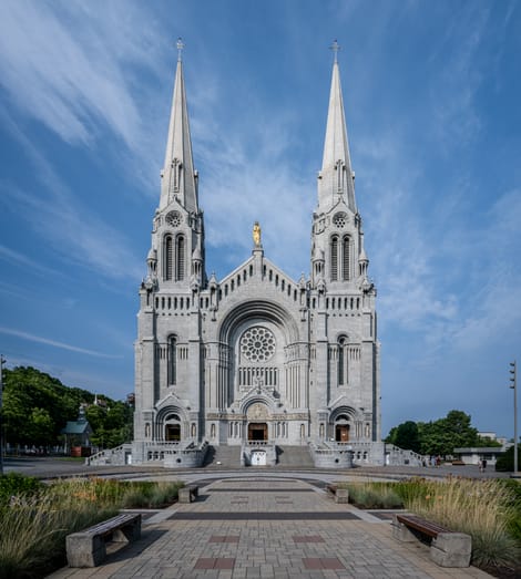
Sainte-Anne-de-Beaupré and Charlevoix
Half an hour from Quebec City, the Sainte-Anne-de-Beaupré Basilica welcomes several hundred thousand pilgrims every year. The pilgrimage goes back to 1658, the year of the first chapel. According to tradition, Breton sailors, saved at sea after praying to Saint Anne, started the project. The present church was begun in 1923 and consecrated in 1976. The big day is 26 July, the feast of Saint Anne.
Further on, Charlevoix sits on a crater: about 450 million years ago, a meteorite dug a basin some 54 kilometres across here. Mont des Éboulements is its central peak. The region has been a Unesco biosphere reserve since 1988.
Its landscapes drew painters such as Clarence Gagnon, and Baie-Saint-Paul has many galleries. Cirque du Soleil was born there in 1984. Since the 19th century, La Malbaie has welcomed wealthy Canadian and American families in summer. The Manoir Richelieu hosted the G7 summit there in 2018.
In the fjord, the river’s fresh water stays on top of the salt water, which is colder and heavier.
The Saguenay Fjord and the whales
The Saguenay Fjord is a valley carved by glaciers, then flooded by the sea. It stretches for about 105 kilometres to Tadoussac, between cliffs 150 metres high on average. In the fjord, the river’s fresh water stays on top of the salt water, which is colder and heavier. At the mouth, the tide brings up cold water from the bottom, rich in nutrients: it feeds the whole food chain, all the way up to the whales.
Since 1998, the Saguenay–St Lawrence Marine Park has protected these waters. In summer, you can see minke whales, fin whales, humpback whales and sometimes blue whales. Belugas live here all year round. Tadoussac became a fur trading post around 1600, one of the first French settlements in North America.
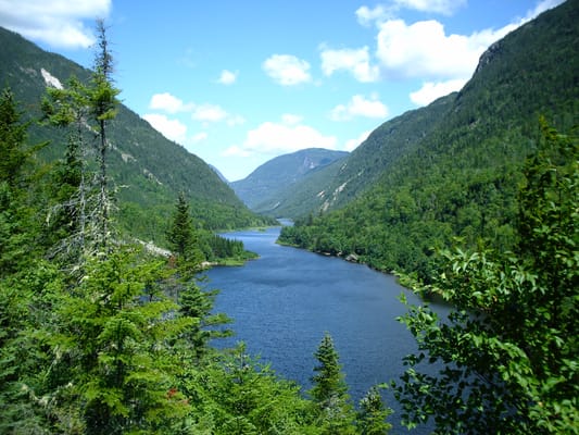
Hautes-Gorges-de-la-Rivière-Malbaie National Park
The Malbaie River flows along the bottom of a glacial valley, between rock walls that reach 800 metres. You can go up it by boat or by canoe. This is mountain Charlevoix, the side the Route du Fleuve does not show.
Practical notes
- When to go
- June to September. The Mingan boats and most sites on the North Shore close between late September and mid-October.
- Getting there
- Quebec City has an international airport and is just under three hours’ drive from Montreal. You come back on the same road or take a ferry to the south shore.
- Access
- Everything is tarmac. In Charlevoix, use engine braking on the steep hills. The Tadoussac ferry is free; the timetable can change because of staff shortages: check traversiers.com.
- Sleeping in a van
- Plenty of campsites along the river. Several towns restrict overnight parking outside campsites: ask locally.
- Worth knowing
- After Sept-Îles, fill up: petrol stations and mobile signal become scarce. Watch out for moose at dawn and dusk.
- Allow
- Eight days to Havre-Saint-Pierre, one more for Manic-5, two to drive back to Quebec City.
What not to miss
- 1Montmorency FallsAn 83-metre drop, a suspension bridge and a long staircase along the cliff.
- 2The Route du FleuveSteep slopes above the St Lawrence and the drive down to Saint-Joseph-de-la-Rive.
- 3Pointe de l’IsletIn Tadoussac, facing the Saguenay, people wait for the whales late in the day.
- 4Cap de Bon-DésirAt Les Bergeronnes, the whales swim very close to the rocks on the shore.
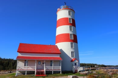
- 5The Pointe-des-Monts lighthouseFirst lit in 1830, the second-oldest lighthouse on the river, now a museum.
- 6The Mingan ArchipelagoAbout a thousand islands and islets, and the largest concentration of monoliths in Canada.
Charlevoix and the North Shore in pictures
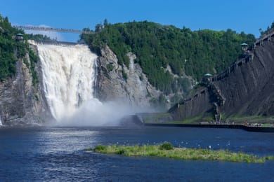
Montmorency Falls, with its suspension bridge and the staircase along the cliff.
Food in Charlevoix and on the North Shore
Charlevoix has its Flavour Trail, a circuit of farms and cheese dairies. Charlevoix lamb has been protected by a geographical indication since 2009. You can also taste Migneron de Charlevoix, a local cheese.
On the North Shore, the food comes from the sea: snow crab, Minganie scallops, whelks. In August, people pick blueberries and chicoutai, or cloudberry, an orange berry from the peat bogs that is made into a liqueur.
Quebec City → Havre-Saint-Pierre


 +24stops
- 1Château Frontenac · Montmorency Falls · Basilica of Sainte-Anne-de-Beaupré · Canyon Sainte-Anne
- 2Musée d'art contemporain de Baie-Saint-Paul · Musée Maritime de Charlevoix · Belvedere De La Chute De La Riviere Jean-Noel · Manoir Richelieu
- 3Musée de Charlevoix · Pointe Noire · Centre d'interprétation des mammifères marins · Pointe de l'Islet
Free, no account needed — start from its places and make it yours.
Also worth reading
Wide open spaces
Vancouver Island, from Victoria to the beaches of Tofino
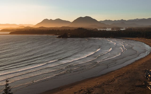
An island of giant forests, beaches pounded by the Pacific and small harbours where boats leave to see orcas. Nine days on a loop from Victoria, from Port Renfrew to Tofino and up to Telegraph Cove.
Wide open spaces
Eastern Canada, from Toronto to Quebec City
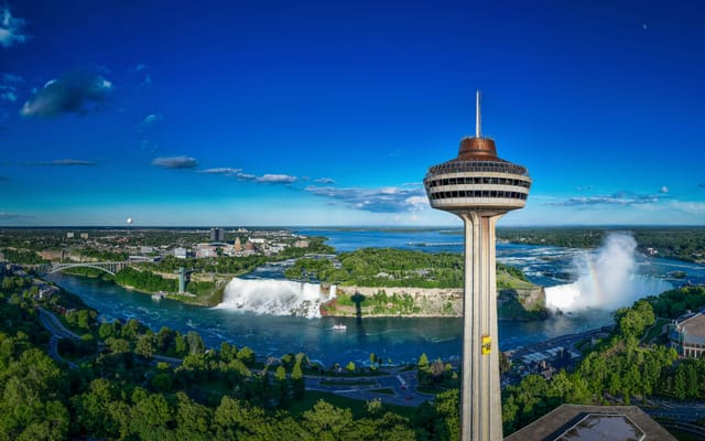
From Niagara Falls to the walls of Quebec City, the best way to see Eastern Canada is to follow the water. Eleven days on the road, through the Thousand Islands, the Rideau Canal, Ottawa, Montreal and the lakes of the Mauricie.
Wide open spaces
The Canadian Rockies, from Banff to Jasper
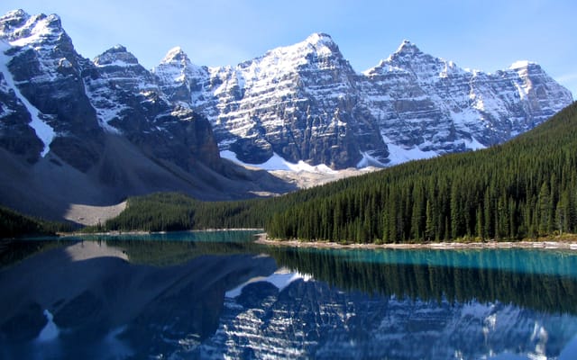
Turquoise lakes, glaciers beside the road and peaks over 3,000 metres high. Ten days on a loop from Calgary, through Banff, Kootenay, Yoho, the Icefields Parkway and Jasper.
A starting point, a few wishes — ViaLooma builds the trip day by day, map, stops and roadbook included.