The North Cape and Finnmark, from Alta to the end of Europe
Finnmark, in the far north of Norway, is a land of tundra, fjords and reindeer. This six-day trip starts in Alta, heads up to the North Cape under the midnight sun and ends in Karasjok, in Sámi country.
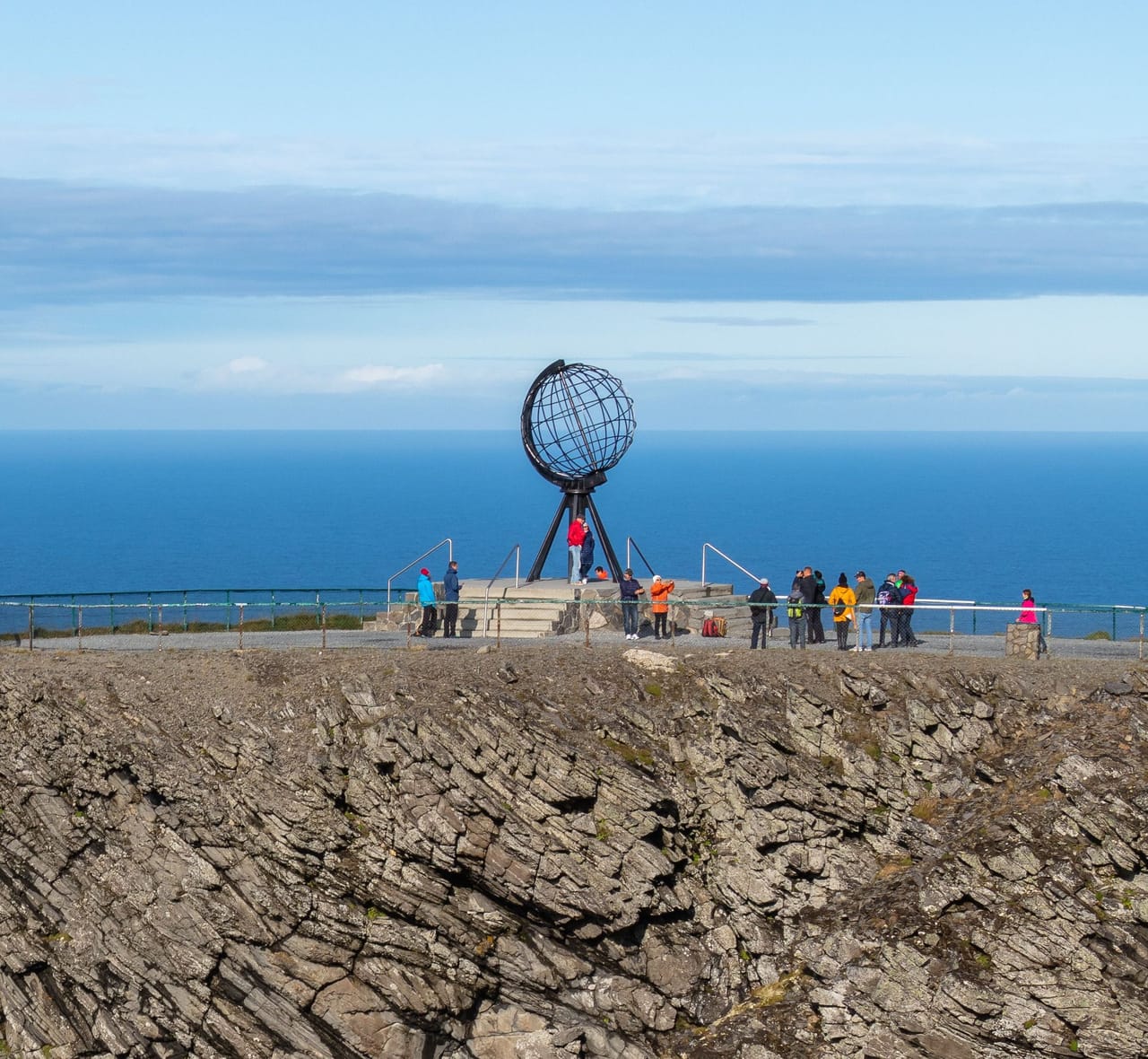
The road to the North Cape
East of Alta, the birch forest gives way to tundra. On the Sennalandet plateau, the E6 runs along lakes and stretches of lichen where reindeer spend the summer, often by the roadside. A suspension bridge then takes you to Hammerfest, on its island.
The E69 runs along the Porsangerfjord, then goes under the sea through the North Cape Tunnel and comes out on the island of Magerøya. Here, there isn’t a single tree. The port of Honningsvåg and the fishing villages of Skarsvåg and Gjesvær sit at the head of their bays.
From about 14 May to 31 July, the sun doesn’t set at the North Cape. You drive at 11 pm in full daylight. The high point is the North Cape plateau around midnight, at the edge of a 307-metre cliff. On the way back, the road follows the fjord to Lakselv, then climbs a valley of pine trees to Karasjok, home of the Sámi Parliament of Norway.
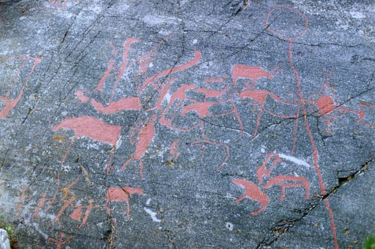
The Alta rock art
On the smooth rocks along the Altafjord, hunters carved more than 6,000 figures: reindeer, elk, bears, boats, people fishing with lines. According to studies, the oldest are 6,000 to 7,000 years old and the most recent about 2,500. Found in 1973, they have been a UNESCO World Heritage Site since 1985. The Alta Museum shows some of them along an open-air boardwalk trail at Hjemmeluft.
The carvings followed the shoreline of the time. Because the land has been slowly rising since the end of the Ice Age, the highest ones are the oldest. After they were found, many figures were painted red to make them easier to see. The museum has since removed much of this paint, which was damaging the rock.
The trail is under snow for a good part of the year; it usually opens from late spring to early autumn. Close by, in Kåfjord, a small museum tells the story of the Tirpitz, the German battleship hidden in the fjord in 1943 and 1944.
The real tip of the island can only be reached on foot.
The North Cape plateau
The English captain Stephen Borough named the North Cape in 1553, while looking for a north-east passage to China. In 1873, King Oscar II climbed up to the plateau; a granite column marks his visit. Yet the plateau is not the northernmost point of Magerøya. Just to the west, the Knivskjelodden headland reaches 1,450 metres further north, at the end of a trail of about 18 kilometres there and back. The real tip of the island can only be reached on foot.
A steel globe stands at the edge of the cliff. The visitor centre, the Nordkapphallen, is largely carved into the rock. A tunnel leads to a panoramic cinema, exhibitions and a small chapel. A large picture window looks north, out to sea.
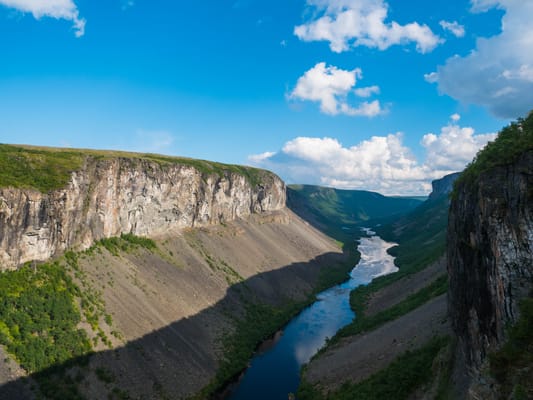
The Sautso canyon
The largest canyon in Northern Europe: about 12 kilometres long and up to 420 metres deep. The road leads to the Alta dam. The plan to build it sparked a protest by the Sámi around 1980, which led to the creation of their Parliament.
Practical notes
- When to go
- Mid-May to late July for the midnight sun. In winter, you drive up to the plateau in a convoy at set times, and the road closes in storms.
- Getting there
- Alta has an airport with flights to Oslo. Karasjok is 75 kilometres from Lakselv airport and three hours from Alta.
- Access
- Tarmac roads, except the short gravel track to Trollholmsund. The North Cape Tunnel has 9% gradients. In summer, reindeer walk on the road.
- Sleeping in a van
- You can sleep wherever parking is allowed, unless a sign says otherwise. Campsites in Alta, on Magerøya and in Karasjok. Bring an eye mask: it doesn’t get dark from mid-May to late July.
- Worth knowing
- Since July 2026, access to the plateau can no longer be charged for while a final decision is awaited: check before you go. Petrol stations are few on Magerøya.
- Allow
- Six days; one more night for the road to Havøysund, from Smørfjord.
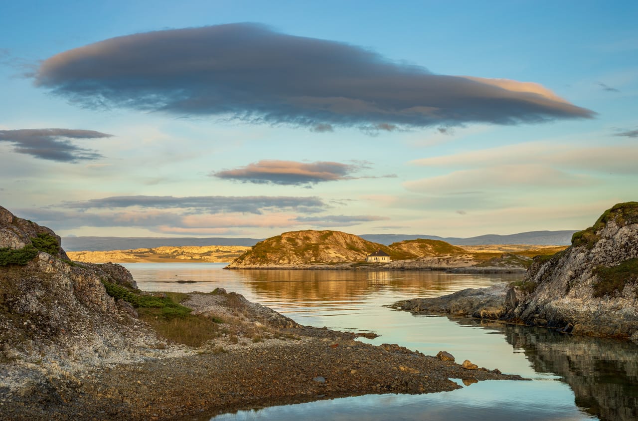
What not to miss
- 1The North Cape Tunnel6.9 kilometres under the sea, down to 212 metres below sea level.
- 2The birds of GjesværIn summer, boats head out to the Gjesværstappan islands, where thousands of puffins nest.
- 3KirkeportenA rock arch above the sea, a short walk from Skarsvåg.
- 4The Struve Arc markerIn Hammerfest, the northern end point of this 19th-century chain of survey points, listed by UNESCO.
- 5TrollholmsundDolomite rocks that Sámi legend says are trolls turned to stone.
- 6KarasjokThe old church of 1807, one of the few wooden buildings still standing after the war, and the Sámi Parliament.
The North Cape and Finnmark in pictures
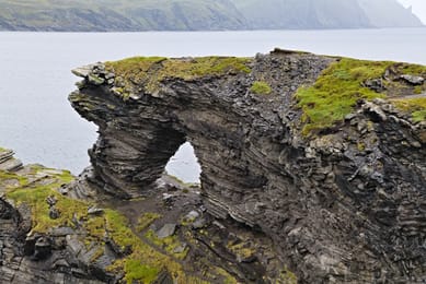
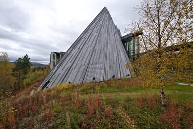
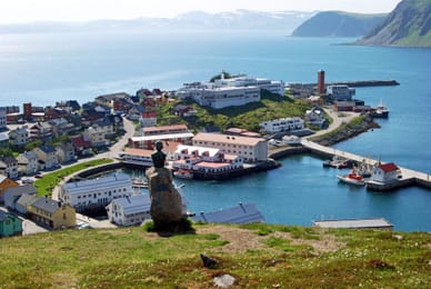
The Kirkeporten arch, near Skarsvåg.
The Finnmark table
On the coast, people eat cod and king crab. Brought to the Murmansk area by Soviet scientists in the 1960s, this large crab has spread as far as Finnmark.
Among the Sámi, bidos is a reindeer stew with potatoes and carrots, served on special occasions. In July and August, people pick cloudberries, orange berries served with whipped cream.
Alta → Kárášjohka


 +18stops
- 1Nordlyskatedralen · Helleristningene i Alta · Tirpitz Museum
- 2Sennalandet · Kvalsundbrua · Hammerfest · Meridianstøtten
- 3Gjenreisningsmuseet for Finnmark og Nord-Troms · Honningsvåg · Nordkappmuseet
Free, no account needed — start from its places and make it yours.
Also worth reading
Wide open spaces
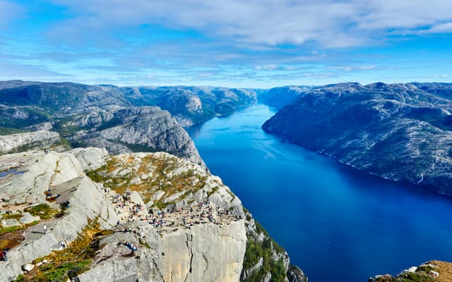
The Lysefjord, from Preikestolen to Kjerag
A narrow fjord between granite cliffs, two hikes to rocks on the edge of a sheer drop, and a road with 27 hairpin bends. Five days on a loop from Stavanger, to the head of the fjord and then to the beaches of Jæren.
Wide open spaces
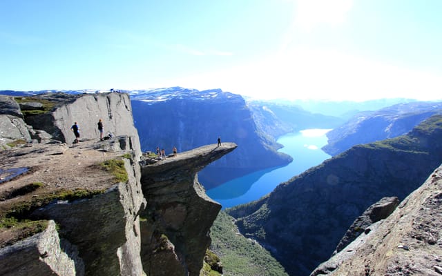
The Hardangerfjord, from Bergen to Trolltunga
Waterfalls by the roadside, orchards above the water and a glacier above the orchards. Six days on a loop from Bergen, around the second-longest fjord in Norway.
Wide open spaces
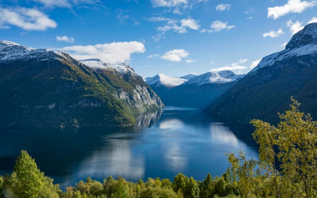
The fjords of western Norway: Geiranger, Trollstigen and the Atlantic Road
Fjords listed by Unesco, winding mountain roads and a road laid on the sea. Six days on the west coast of Norway, from Ålesund to Kristiansund.
A starting point, a few wishes — ViaLooma builds the trip day by day, map, stops and roadbook included.