The Lysefjord, from Preikestolen to Kjerag
A narrow fjord between granite cliffs, two hikes to rocks on the edge of a sheer drop, and a road with 27 hairpin bends. Five days on a loop from Stavanger, to the head of the fjord and then to the beaches of Jæren.
The roads of the Lysefjord
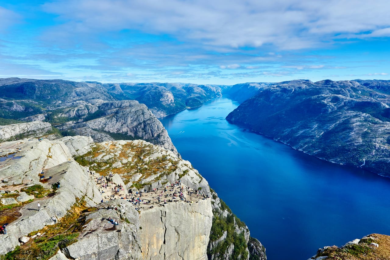
The Lysefjord cuts 42 kilometres into the mountains east of Stavanger, between walls of pale granite. Most people see it from above. From Stavanger, you reach its north shore by going under the sea: the Ryfylke Tunnel, on the Ryfast link, is 14.4 kilometres long and goes down to 292 metres below sea level. It is the longest undersea road tunnel in the world.
To the south, the Frafjord valley leads to Månafossen, a waterfall 92 metres high. Further east, the road crosses the Sirdal plateau: bare granite, reservoirs, and snow until early summer. It ends with the Lysebotn road: 27 hairpin bends that drop more than 900 metres to the head of the fjord, one of them inside a tunnel cut into the mountain.
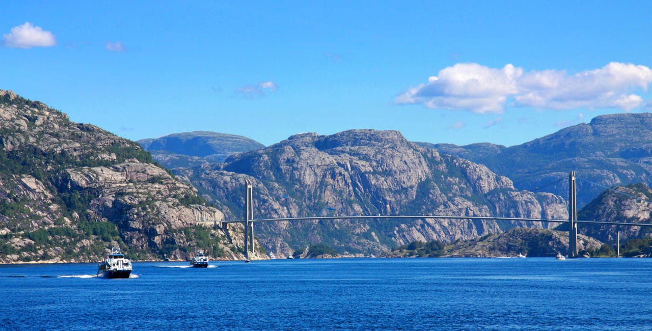
Lysebotn had no road before 1984. You can also arrive by boat, with your car, passing below Preikestolen and in front of Flørli and its staircase of 4,444 steps. On the way back, the landscape changes: on the flat coast of Jæren, the road runs past beaches and dunes, facing the North Sea.
Stavanger, from sardines to oil
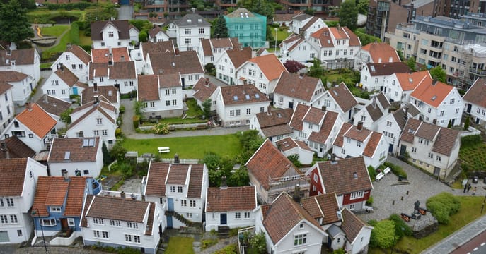
Stavanger is the gateway to the Lysefjord. West of the harbour, Gamle Stavanger has 173 small white wooden houses, most of them built in the 19th century. After the war, the town plan was to pull them down. The city architect, Einar Hedén, opposed this from 1951, and the quarter has been protected since 1965. In the old town, the Norwegian Canning Museum tells of the time when the city lived on tinned fish.
The rest of the story is on the harbour, at the Norwegian Petroleum Museum: after the discovery of Ekofisk in 1969, Stavanger became Norway’s oil capital. The cathedral, founded around 1125 according to tradition, is said to be the oldest in the country. Restored, it reopened in 2024, just before the city’s 900th anniversary.
No climbing gear is needed to step onto the boulder, and the photo standing on it has become a ritual.
Preikestolen and Kjerag, the cliffs of the fjord
Preikestolen, the “Preacher’s Pulpit”, is a plateau of about 25 metres by 25, 604 metres above the fjord. It formed about 10,000 years ago: water freezing in the cracks of the granite broke off blocks, which the glacier carried away. A crack runs across the plateau; according to geologists, no collapse is expected. The path is 3.8 kilometres each way, and around 300,000 people came in 2024: it is best to set off early.
At the head of the fjord, Kjeragbolten is a boulder of about 5 cubic metres wedged in a crack in the rock face, above a drop of 984 metres. No climbing gear is needed to step onto the boulder, and the photo standing on it has become a ritual. Allow two and a half to three hours’ walking each way. The cliffs of Kjerag also draw BASE jumpers: more than 48,000 jumps were recorded from 1994 to 2016.
Obrestad Lighthouse
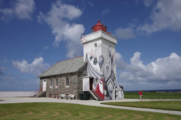
First lit in 1873 and rebuilt in 1950, the lighthouse houses a small museum. After the cliffs of the fjord, this is another side of Rogaland: a flat coast of pebbles, lined with dry-stone walls and meadows.
Practical notes
- When to go
- Late June to early September. The Lysebotn road closes in winter, usually from November to the end of May.
- Getting there
- International airport at Stavanger. Ferries also link Hirtshals, in Denmark, with Stavanger.
- Access
- Everything is tarmac. The Lysebotn road is narrow: motorhomes get through, slowly. Fill up before the plateau.
- Sleeping in a van
- Campsites in Stavanger, near Preikestolen, in Lysebotn and in the Sirdal valley.
- Worth knowing
- Automatic tolls: the bill follows the number plate. Paid car parks at the trailheads. The ferry to Lysebotn has little room for cars: book early online.
- Allow
- Five days for the loop, one more for the Flørli staircase.
What not to miss
- 1The Lysebotn roadIts 27 hairpin bends and its spiral tunnel, down to the head of the fjord.
- 2KjeragboltenA demanding hike, over granite slabs fitted with chains.
- 3MånafossenA waterfall at the end of the Frafjord valley, after half an hour’s steep climb.
- 4The Lysefjord ferrySailing up the fjord with your car, below the cliffs.
- 5Sverd i fjellThree 10-metre swords in memory of the battle of 872 that, according to tradition, united Norway.
- 6The beaches of JærenSand and dunes facing the North Sea, at Bore and Sola.
The Lysefjord in pictures
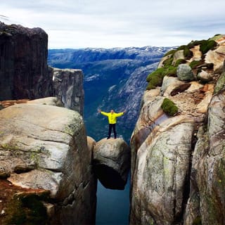
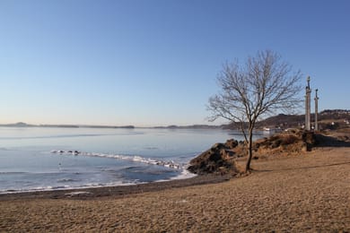
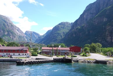
A hiker standing on Kjeragbolten, above the drop.
The table of Stavanger and Jæren
Stavanger made its fortune from tinned fish, above all brisling, a small fish that is smoked, then canned and sold as sardines. In late June, the Gladmat festival sets up stalls for the region’s producers on the harbour.
To the south, Jæren is a plain of farms: milk, meat, vegetables. In the mountains, you stop for a coffee and waffles, a Norwegian habit. In Stavanger, try the beers from the Lervig brewery.
Loop from Stavanger


 +10stops
- 1Gamle Stavanger · Stavanger domkirke · Norsk Oljemuseum · Utstein kloster
- 2Preikestolen · Lysefjordbrua
- 3Månafossen · Lysebotn
Free, no account needed — start from its places and make it yours.
Also worth reading
Wide open spaces
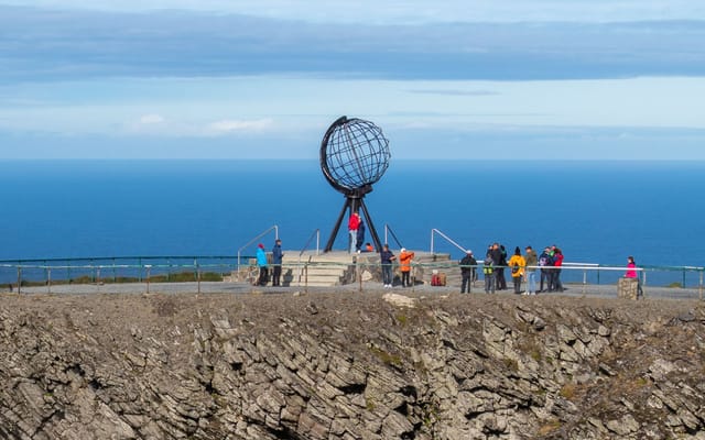
The North Cape and Finnmark, from Alta to the end of Europe
Finnmark, in the far north of Norway, is a land of tundra, fjords and reindeer. This six-day trip starts in Alta, heads up to the North Cape under the midnight sun and ends in Karasjok, in Sámi country.
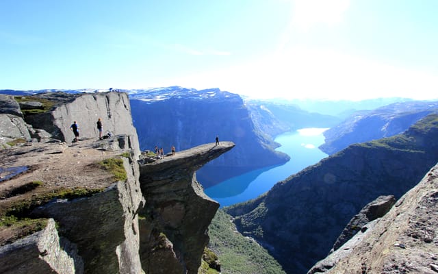
Wide open spaces
The Hardangerfjord, from Bergen to Trolltunga
Waterfalls by the roadside, orchards above the water and a glacier above the orchards. Six days on a loop from Bergen, around the second-longest fjord in Norway.
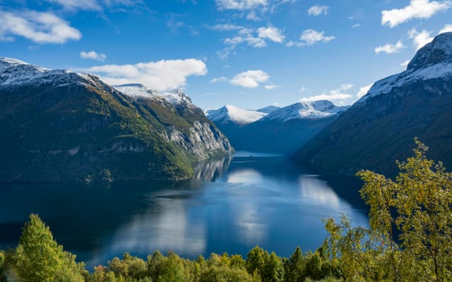
Wide open spaces
The fjords of western Norway: Geiranger, Trollstigen and the Atlantic Road
Fjords listed by Unesco, winding mountain roads and a road laid on the sea. Six days on the west coast of Norway, from Ålesund to Kristiansund.
A starting point, a few wishes — ViaLooma builds the trip day by day, map, stops and roadbook included.