The Hardangerfjord, from Bergen to Trolltunga
Waterfalls by the roadside, orchards above the water and a glacier above the orchards. Six days on a loop from Bergen, around the second-longest fjord in Norway.
Around the Hardangerfjord
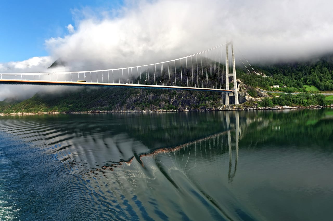
From Bergen, Route 7 crosses the Kvamskogen plateau and meets the fjord at Norheimsund. It then runs along the north shore at the water’s edge, between orchards and jetties. Near Norheimsund, a path goes behind the Steinsdalsfossen waterfall. At Fyksesund, a suspension bridge from 1937 spans a narrow arm of the fjord. Further on, a tunnel, with an underground roundabout, comes out onto the Hardanger Bridge: 1,310 metres between its towers, opened in 2013.
At the head of the fjord, in Eidfjord, the road climbs the Måbødalen in hairpins and tunnels. At the top, Vøringsfossen drops 182 metres into the gorge. Further on begins the Hardangervidda, the largest high plateau in Europe: tundra and lakes, at an average altitude of 1,100 metres.
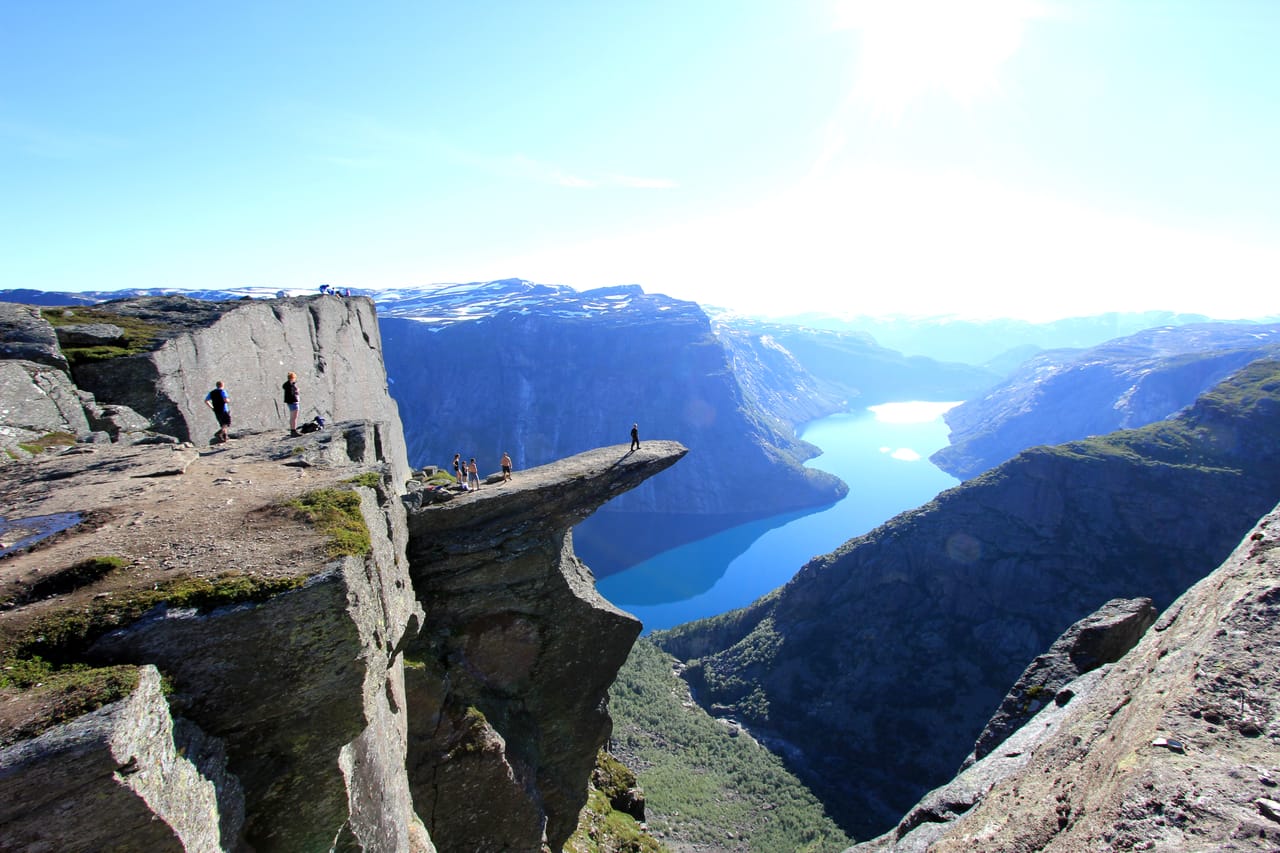
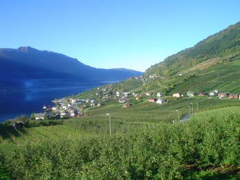
The Sørfjord runs south for about forty kilometres. On the east shore, the road goes through the cherry trees of Lofthus, then passes Tyssedal, the start of the Trolltunga hike. South of Odda, Låtefoss falls right next to the road. The quieter west shore leads to Agatunet and to Utne, where a ferry runs to Kvanndal, on the north shore, in twenty minutes.
Bergen, the Hanseatic port
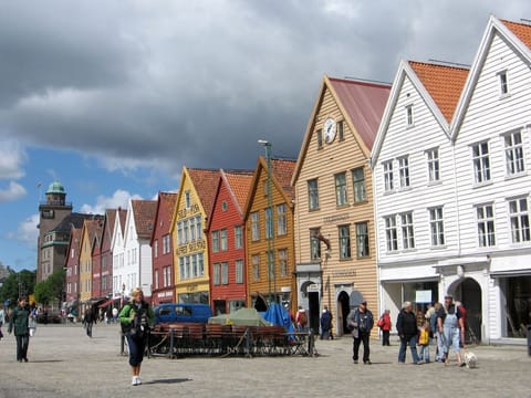
The trip starts and ends in Bergen. Around 1350, the German merchants of the Hanseatic League opened a trading post here, on the quay at Bryggen. They stayed until 1754. They traded dried cod from the north of Norway for grain from the rest of Europe. The wooden houses lined up along the harbour often burned down. Most of today’s were rebuilt after the fire of 1702, on the original plan. Bryggen has been on the Unesco World Heritage List since 1979.
In 1955, a fire destroyed part of the quay. The excavations that followed lasted thirteen years and uncovered hundreds of sticks carved with runes: trade messages, prayers, words of love. The Bryggen Museum displays them. To see the city from above, the Fløibanen funicular climbs from the centre to Mount Fløyen.
The fjord was carved by glaciers, and a glacier still towers over its shores.
Glaciers, waterfalls and electricity
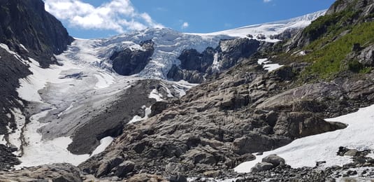
The Hardangerfjord is about 179 kilometres long. It is the second-longest fjord in Norway, and more than 850 metres deep in places. The fjord was carved by glaciers, and a glacier still towers over its shores. The Folgefonna covers about 200 square kilometres, in three parts. It lies at the heart of a national park created in 2005. From Buer, near Odda, a path with fixed ropes leads to the foot of Buarbreen, one of its tongues. Do not walk on the ice without a guide.
Water from the glacier and the plateau makes electricity. In Tyssedal, a power station built from 1906 ran until 1989; it now houses the Norwegian Museum of Hydropower and Industry. Power turned Odda into a factory town. Even Vøringsfossen is regulated by a dam, which guarantees it a minimum flow in summer.
Baroniet Rosendal
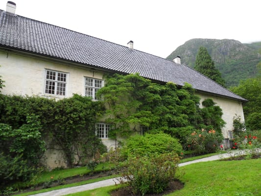
A manor house built from 1661 to 1665, which became Norway’s only barony in 1678. Its rose garden, laid out in the 1660s, is in flower from July into autumn.
Practical notes
- When to go
- Mid-June to mid-September, for Trolltunga without snow. In May the orchards are in blossom, but the Trolltunga trail is still under snow.
- Getting there
- Bergen has an international airport and a ferry from Hirtshals, in Denmark. Norheimsund is an hour and a half from Bergen.
- Access
- Everything is tarmac. In winter, Route 7 across the Hardangervidda often runs in convoy, or closes. The west shore of the Sørfjord and the Buer road are narrow.
- Sleeping in a van
- Campsites in Eidfjord, Lofthus and Odda, near the fjord or a lake. For Trolltunga, you park the van at the P1 car park in Tyssedal, then take the shuttle bus. You cannot sleep there.
- Worth knowing
- The road from Tyssedal to Skjeggedal is closed to vehicles over 5.2 metres long and may close at night. The Hardanger Bridge and the roads into Bergen have automatic tolls, billed to the number plate.
- Allow
- Six days, plus one spare day in case the weather rules out the Trolltunga hike.
What not to miss
- 1TrolltungaA rock at more than 1,100 metres: from Skjeggedal, a 27-kilometre round trip and ten to twelve hours’ walking.
- 2SteinsdalsfossenThe waterfall where Kaiser Wilhelm II used to stop, and which you can walk behind.
- 3VøringsfossenA 182-metre waterfall, seen from a stepped footbridge set across the gorge in 2020.
- 4LåtefossTwo torrents that meet, then run under a six-arched stone bridge, right by the road.
- 5AgatunetA farming hamlet clustered around its yard, with a 13th-century wooden house.
- 6Grieg’s hutIn Lofthus, the hut where Edvard Grieg composed stands in the garden of the Hotel Ullensvang.
The Hardangerfjord in pictures
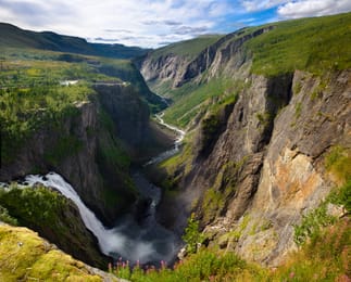
Vøringsfossen plunges into the Måbødalen gorge.
The Hardanger table
Hardanger is the orchard of Norway: apples, pears, plums and cherries, above all around Lofthus and Ulvik. According to tradition, monks from England planted the first trees here in the Middle Ages. In 2009, Hardanger cider became the first Norwegian alcoholic drink to receive a protected designation.
In Bergen, the fish market on the harbour sells salmon, prawns and crab. Creamy Bergen fish soup is on menus all over town.
Loop from Bergen


 +16stops
- 1Bryggen i Bergen · Steinsdalsfossen · Øystese kirke · Fyksesundbrua
- 2Ulvik · Hardangerbrua · Eidfjord
- 3Norsk Natursenter Hardanger · Vøringsfossen · Sysendammen · Lofthus
Free, no account needed — start from its places and make it yours.
Also worth reading
Wide open spaces
The North Cape and Finnmark, from Alta to the end of Europe
Finnmark, in the far north of Norway, is a land of tundra, fjords and reindeer. This six-day trip starts in Alta, heads up to the North Cape under the midnight sun and ends in Karasjok, in Sámi country.
Wide open spaces
The Lysefjord, from Preikestolen to Kjerag
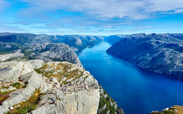
A narrow fjord between granite cliffs, two hikes to rocks on the edge of a sheer drop, and a road with 27 hairpin bends. Five days on a loop from Stavanger, to the head of the fjord and then to the beaches of Jæren.
Wide open spaces
The fjords of western Norway: Geiranger, Trollstigen and the Atlantic Road
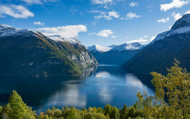
Fjords listed by Unesco, winding mountain roads and a road laid on the sea. Six days on the west coast of Norway, from Ålesund to Kristiansund.
A starting point, a few wishes — ViaLooma builds the trip day by day, map, stops and roadbook included.