Newfoundland, from St. John’s to L’Anse aux Meadows
Icebergs offshore, lighthouses on the headlands and a freshwater fjord between 600-metre cliffs. Twelve days across the island, from St. John’s to the Viking site of L’Anse aux Meadows.
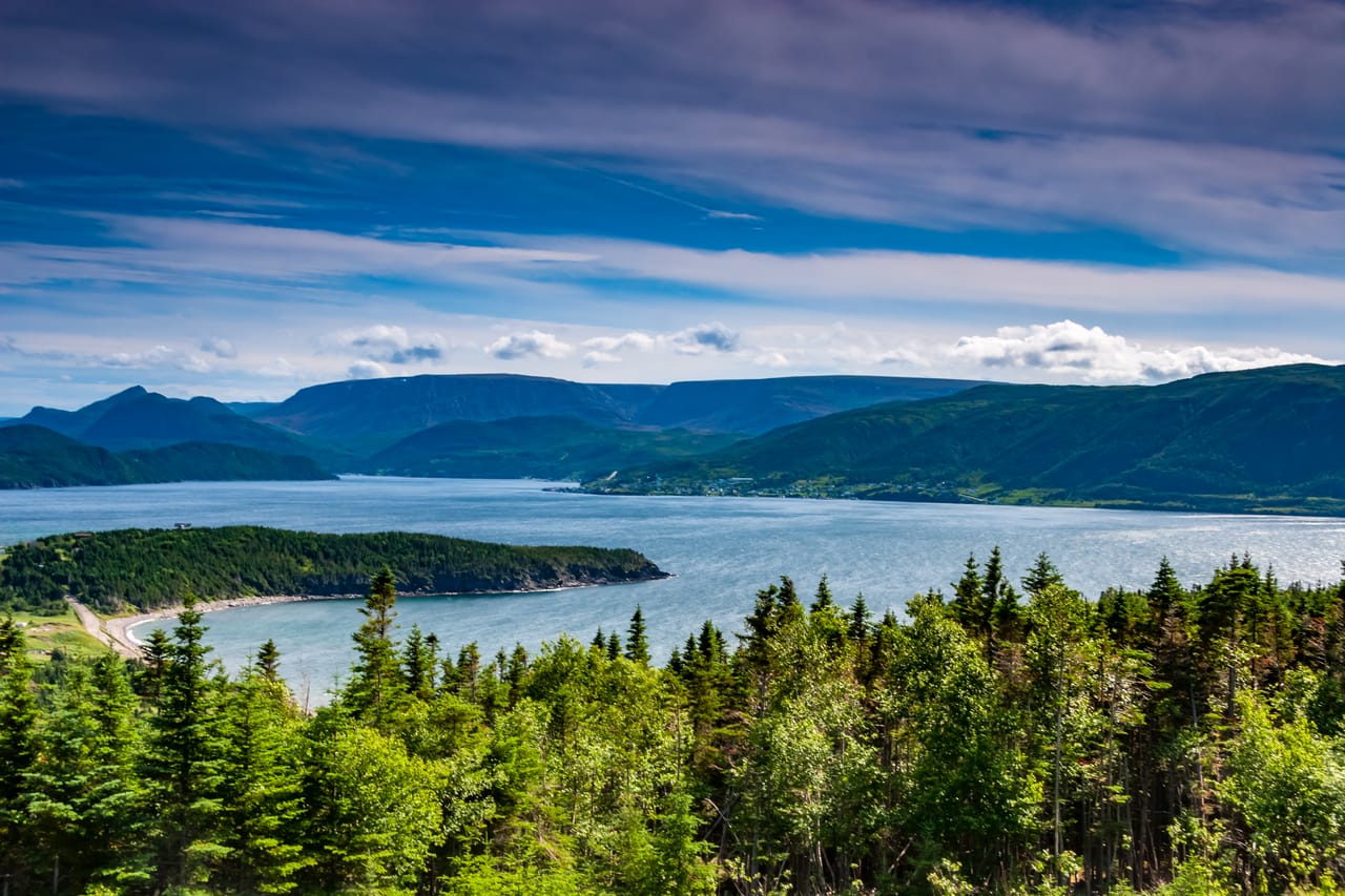
Crossing Newfoundland
The trip starts in St. John’s, at the far eastern end of the island, and ends in Deer Lake, in the west. In between, the Trans-Canada Highway runs through spruce forest, ponds and bogs. On the coasts, you go from one fishing village to the next: wooden houses painted red or yellow, wharves, lobster pots and a lighthouse on almost every headland.
On the east coast, from late May to late June, icebergs from the glaciers of Greenland drift south on the Labrador Current and sometimes run aground in the coves of Twillingate or Bonavista. In Elliston, puffins nest very close to the cliff: you can see them without a boat. In the south-west of Avalon, thousands of gannets nest at Cape St. Mary’s.
In the west, the highlight is Western Brook Pond, in Gros Morne National Park. You walk 3 km to the jetty, then a two-hour boat tour runs through an old fjord about 16 km long, between cliffs about 600 metres high. To the north, the Viking Trail runs along the Strait of Belle Isle, facing Labrador.
L’Anse aux Meadows, the Viking site
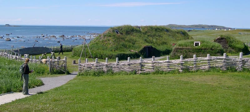
In 1960, George Decker, who lived in L’Anse aux Meadows, showed some grassy mounds to the Norwegian explorer Helge Ingstad. Helge and his wife, the archaeologist Anne Stine Ingstad, excavated the site from 1961 to 1968. They found the remains of eight buildings made of sod over a timber frame, traces of ironworking and butternuts. These nuts do not grow north of New Brunswick, so the Vikings must have travelled further south.
Greenland aside, it is the only authenticated Viking site in North America. It has been a World Heritage Site since 1978. In 2021, a study published in the journal Nature dated pieces of wood cut on the site to the year 1021. Some see it as the Vinland of the Icelandic sagas, but the question is still open.
Mounds in the grass mark the original buildings. Next to them, reconstructed sod houses are staffed by guides in costume. Two kilometres away, Norstead recreates a Viking village.
Greenland aside, it is the only authenticated Viking site in North America.
The geology of Gros Morne
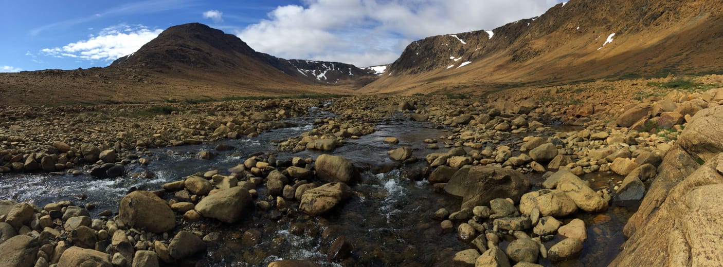
Gros Morne National Park has been a World Heritage Site since 1987 for its geology and its landscapes. The Tablelands are the most visible example. They are rocks from the mantle, the layer below the crust. They were pushed up when two plates collided, several hundred million years ago. Poor in nutrients and heavy in metals, they are toxic to plants: you see an ochre, almost bare plateau in the middle of the forest. An easy 4 km return trail follows its base.
At Green Point, by the sea, the layers of rock stand almost vertical. They are the world reference for the start of the Ordovician, a geological period. Western Brook Pond is a fjord carved by glaciers, then cut off from the sea when the land, freed of its ice, rose again.
The Colony of Avalon
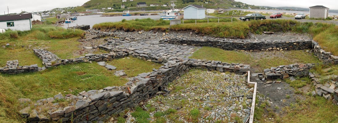
Founded in 1621 for George Calvert, later Lord Baltimore, it is one of the oldest English settlements in North America. You can visit the excavations by the harbour.
Practical notes
- When to go
- June to early September. Icebergs from late May to late June, whales from June to August. Many services close after Labour Day, in early September.
- Getting there
- Fly into St. John’s and out of Deer Lake, with a one-way car hire at extra cost. With a van, take the ferry from North Sydney: to Port aux Basques all year round, or to Argentia in summer, closer to St. John’s.
- Access
- Everything is tarmac, except the gravel road up Ochre Hill, in Terra Nova. Petrol stations are few on the Viking Trail: fill up in Rocky Harbour, Port au Choix and St. Anthony.
- Sleeping in a van
- Campgrounds in Gros Morne and Terra Nova national parks, to book in summer, and private campsites in the villages.
- Worth knowing
- Moose are everywhere: avoid driving at dawn and dusk. The Western Brook Pond boat tour must be booked. L’Anse aux Meadows is open from June to early October.
- Allow
- Twelve days, one or two more for Fogo Island, by ferry from Farewell.
What not to miss
- 1Signal HillAbove the harbour of St. John’s, Marconi received the first transatlantic radio signal, on 12 December 1901.
- 2Cape SpearThe easternmost point of Canada and its lighthouse of 1836, best seen at dawn.
- 3TrinityA merchants’ village of wooden houses and, at Trinity East, the Skerwink Trail along the cliffs.
- 4The puffins of EllistonA colony on a rock just across from the cliff, visible without a boat until August.
- 5TwillingateThe Long Point lighthouse and boat trips out to the icebergs.
- 6Port au ChoixA cemetery about 4,000 years old and the traces of the Dorset people, who came from the Arctic.
Newfoundland in pictures
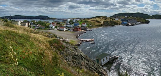
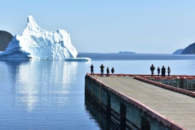
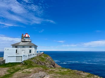
Trinity, its colourful wooden houses and its wharf.
The Newfoundland table
Jiggs dinner brings together salt beef, cabbage, turnip and pease pudding. Fish and brewis combines salt cod with soaked hard tack. You can also try fried cod tongues and toutons, fried pieces of bread dough.
In summer, the cloudberry, called bakeapple here, and the partridgeberry end up in jams and pies. In Quidi Vidi, a brewery makes a beer with iceberg water. In St. John’s, the screech-in welcomes visitors: a glass of Screech rum, then you kiss a cod.
Saint John's → Deer Lake


 +29stops
- 1Cape Spear · Signal Hill · Quidi Vidi Brewery · The Rooms
- 2Trinity · Skerwink trail lookout
- 3Puffin Viewing Point · Cape Bonavista · Ryan Premises National Historic Site of Canada
Free, no account needed — start from its places and make it yours.
Also worth reading
Wide open spaces
Vancouver Island, from Victoria to the beaches of Tofino
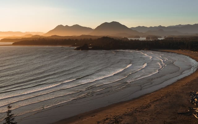
An island of giant forests, beaches pounded by the Pacific and small harbours where boats leave to see orcas. Nine days on a loop from Victoria, from Port Renfrew to Tofino and up to Telegraph Cove.
Wide open spaces
Eastern Canada, from Toronto to Quebec City
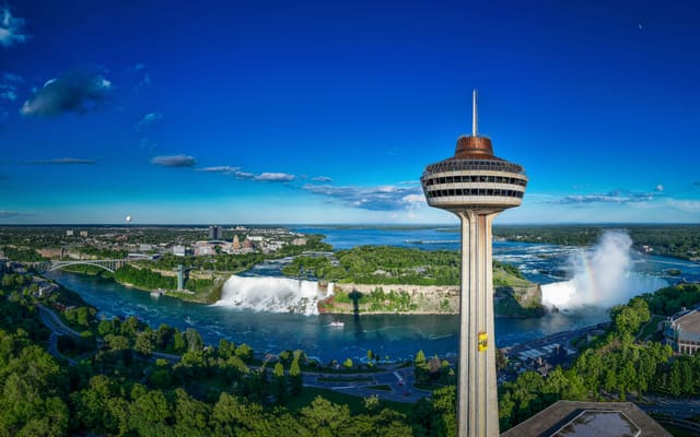
From Niagara Falls to the walls of Quebec City, the best way to see Eastern Canada is to follow the water. Eleven days on the road, through the Thousand Islands, the Rideau Canal, Ottawa, Montreal and the lakes of the Mauricie.
Wide open spaces
The Canadian Rockies, from Banff to Jasper
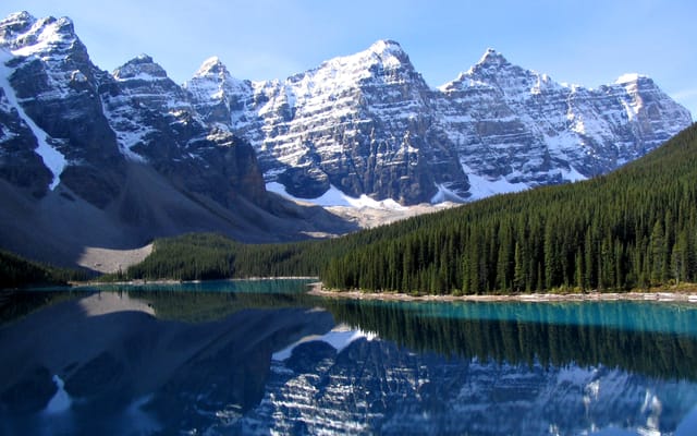
Turquoise lakes, glaciers beside the road and peaks over 3,000 metres high. Ten days on a loop from Calgary, through Banff, Kootenay, Yoho, the Icefields Parkway and Jasper.
A starting point, a few wishes — ViaLooma builds the trip day by day, map, stops and roadbook included.