The Red Centre, from Alice Springs to Uluru
In the middle of Australia, a red desert, gorges that hold water all year round and two great sacred sites. Eight days on a loop from Alice Springs, through the MacDonnells, Kings Canyon, Uluru and Kata Tjuta.
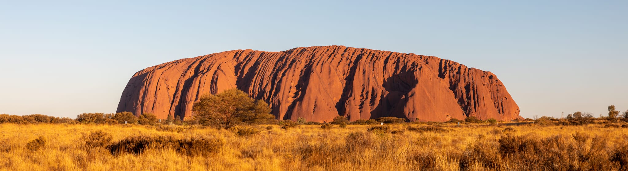
The Red Centre road
The Red Centre is the heart of Australia: red sand, spinifex and long ranges of hills. The loop starts and ends in Alice Springs, on straight, almost empty roads. You pass road trains more than 50 metres long and stop at roadhouses, remote petrol stations that are also cafés.
West of Alice, the West MacDonnells form ridges of red rock, cut by narrow gorges with permanent waterholes. At Ellery Creek Big Hole or Ormiston Gorge, you can swim in very cold water, in the middle of the desert.
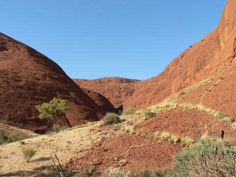
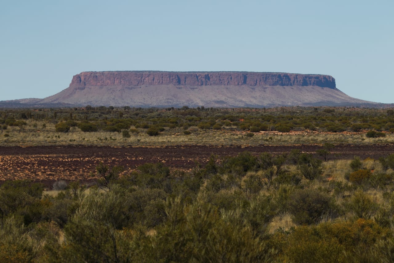
Further on, Kings Canyon is lined with sandstone walls more than 100 metres high. Then come Uluru and Kata Tjuta, which change colour at sunrise and sunset. On the way, the mesa of Mount Conner is often mistaken for Uluru. In the evening at Yulara, the Field of Light by the artist Bruce Munro switches on thousands of lights in the desert.
Uluru and Kata Tjuta, Anangu country
Uluru and Kata Tjuta stand on the land of the Anangu, the Aboriginal people of the region. For them, the rocks, waterholes and caves tell the Tjukurpa, the law that brings together the creation stories and the rules for living. On 26 October 1985, the federal government handed the park back to them, and they have run it with Parks Australia ever since. UNESCO added it to the World Heritage List in 1987 for its landscapes, then in 1994 for its cultural value.
The base walk goes all the way round Uluru, about ten kilometres. Signs tell the story of Mala, the rufous hare-wallaby, and of Kuniya, the python woman, who fought Liru, the venomous snake, near the Mutitjulu waterhole. In some places, photos are not allowed: these are sacred sites. Uluru has been closed to climbers since 26 October 2019.
Kata Tjuta means “many heads”: 36 domes of conglomerate, 25 kilometres from Uluru. The highest, Mount Olga, rises 546 metres above the plain, against 348 for Uluru. Kata Tjuta’s stories belong to a law reserved for initiated men and are not shared with visitors.
Kata Tjuta’s stories belong to a law reserved for initiated men and are not shared with visitors.
Alice Springs, the desert town
Alice Springs grew up near a station on the Adelaide–Darwin telegraph line, opened in 1872. The train has run here since 1929: The Ghan, named after the so-called “Afghan” cameleers who supplied the interior. The town, then called Stuart, took its present name in 1933. The Royal Flying Doctor Service, founded by the minister John Flynn, has a base here.
For the Arrernte, the town is called Mparntwe. In their stories, ancestral caterpillars shaped the hills around it; Emily Gap, 10 kilometres away, is one of their sacred sites. The Arrernte painter Albert Namatjira, born in 1902 at Hermannsburg, painted the white gum trees in watercolour. In 1957, he was granted full citizenship, which most Aboriginal people were still denied.
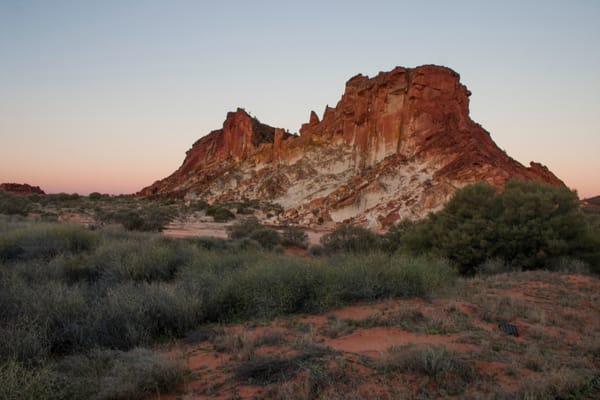
Rainbow Valley
Sandstone cliffs banded in red and cream, which light up at sunset. You reach it on 22 kilometres of sandy track, by 4WD and in dry weather. Camping on site, booking required.
Practical notes
- When to go
- From May to September, the southern winter: mild days, nights sometimes below freezing. From December to February, often over 40 °C.
- Getting there
- Flights to Alice Springs from the major Australian cities, or The Ghan train. Uluru also has its own airport, near Yulara.
- Access
- Everything is sealed except the Mereenie Loop to Kings Canyon and the tracks to Henbury and Rainbow Valley. For the Mereenie: a 4WD or a vehicle your hire company allows, with a transit permit. Otherwise, you go back through Alice Springs. Work to seal a first section is planned, from late 2026 at the earliest.
- Sleeping in a van
- Campsites in Alice Springs, Ormiston Gorge, Kings Canyon, Yulara and Henbury. No camping in Uluru-Kata Tjuta National Park: you sleep at Yulara.
- Worth knowing
- A pass for Uluru-Kata Tjuta, the NT Parks Visitor Pass elsewhere. Fuel and water at every roadhouse, and never drive at night. If 36 °C or more is forecast, the Kings Canyon Rim Walk closes at 9 am: set off at dawn.
- Allow
- Eight days, one more without a 4WD.
What not to miss
- 1The Kings Canyon Rim WalkSix kilometres along the edge of the walls, with the Garden of Eden, a sacred waterhole where you do not swim.
- 2Talinguru NyakunytjakuSunrise, with Uluru and Kata Tjuta in the same view.
- 3The Valley of the WindsA trail between the domes of Kata Tjuta, best done early.
- 4Ormiston GorgeA waterhole at the foot of high red cliffs.
- 5Tylers PassThe lookout facing Tnorala, the ring left by an impact 142 million years ago.
- 6The Henbury cratersA dozen meteorite craters, up to 180 metres across.
The Red Centre in pictures
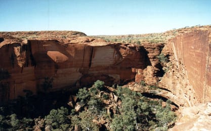
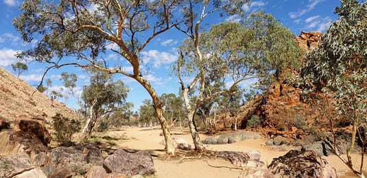
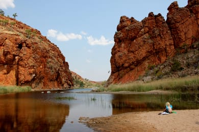
The walls of Kings Canyon, seen from the rim.
The Red Centre table
In Alice Springs and Yulara, you eat kangaroo and barramundi, a fish from the north. You can also taste bush tucker, wild foods: quandong, a small tart fruit, wattleseed and bush tomatoes.
Roadhouses serve burgers and meat pies. At camp, you bake damper, an unleavened bread, in the embers.
Loop from Springs


 +21stops
- 1Alice Springs Telegraph Station Historical Reserve · Olive Pink Botanic Garden · Araluen Cultural Precinct · Alice Springs Desert Park
- 2Simpsons Gap · Standley Chasm · Ormiston Gorge · Glen Helen Gorge
- 3Tylers Pass · Kings Canyon
Free, no account needed — start from its places and make it yours.
Also worth reading
Wide open spaces
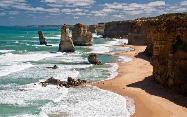
The Great Ocean Road, from Melbourne to Port Fairy
A road cut into the cliffs of southern Australia, between surf beaches, rainforest and limestone stacks. Five days from Melbourne to Port Fairy, sleeping by the sea.
Wide open spaces
Australia’s west coast, from Perth to Exmouth
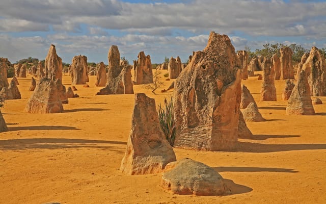
Ten days and about 2,000 kilometres along the Indian Ocean, from the Pinnacles to Ningaloo Reef. A coast of dunes, red gorges and turquoise bays, where you meet dolphins, dugongs and whales.
Wide open spaces
Tasmania on a loop, from Hobart to Cradle Mountain
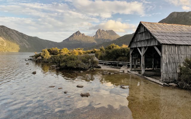
Beaches lined with granite, rainforests and the ruins of a penal colony, on an island south of mainland Australia. This trip goes all the way round it in twelve days from Hobart, from Freycinet to Cradle Mountain.
A starting point, a few wishes — ViaLooma builds the trip day by day, map, stops and roadbook included.