Australia’s east coast, from Sydney to Cairns
From the surf beaches of Sydney to the rainforests of Queensland, you drive up Australia’s east coast for more than 3,600 kilometres. Sixteen days on the road heading north, with the Great Barrier Reef at the end.
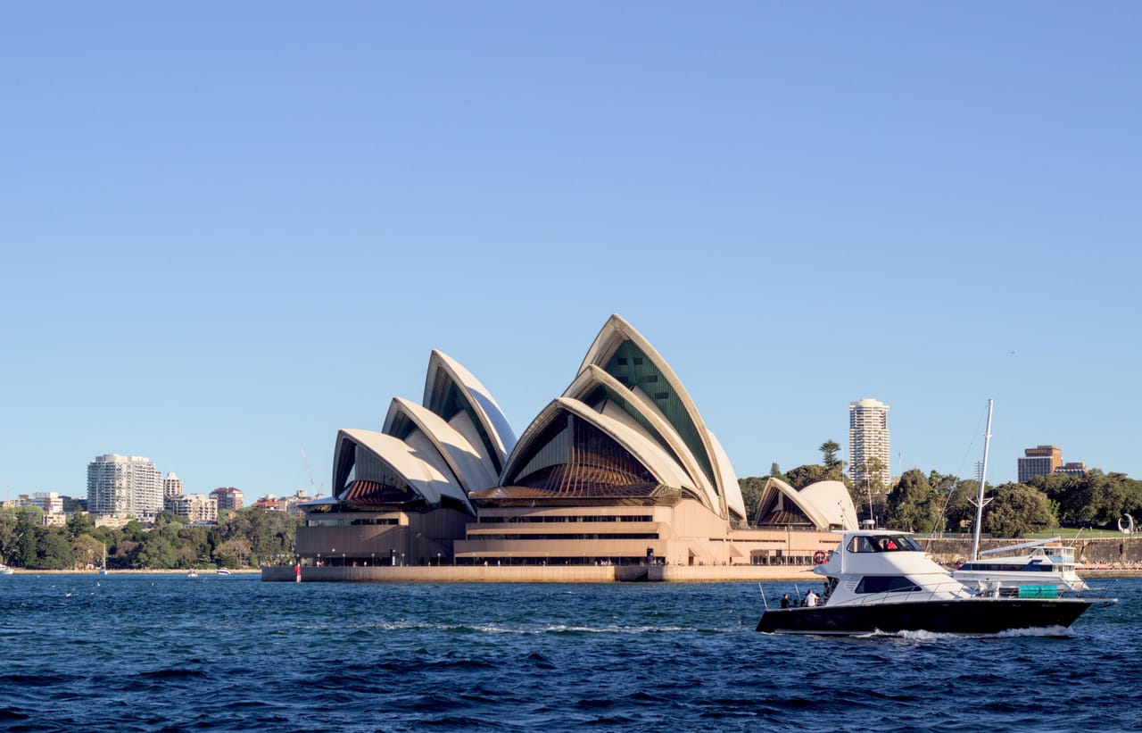
The east coast road
The journey starts in Sydney and heads north up the coast for more than 3,600 kilometres. The Pacific Highway goes from one surf beach to the next: Port Stephens, Port Macquarie, Byron Bay, then the Gold Coast. After Brisbane and Noosa, the Bruce Highway runs through sugar cane fields. During the harvest, small cane trains cross the road.
Further north, the surf gives way to coral. From Bundaberg and Agnes Water, boats head out to the southern end of the Great Barrier Reef. Airlie Beach is the port for the Whitsundays, an archipelago that is home to Whitehaven Beach. From Cairns, a mountain road or the Skyrail cableway climbs to the village of Kuranda, in the forest.
You come across wildlife everywhere: humpback whales offshore in the southern winter, cassowaries around Mission Beach, kangaroos and wallabies by the road and on the beach at Cape Hillsborough at dawn.
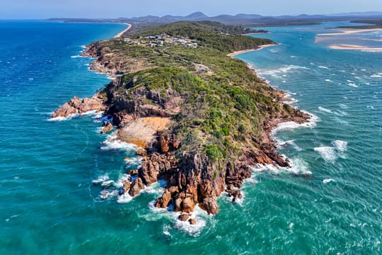
On the trail of James Cook
In 1770, the British navigator James Cook sailed north up this coast aboard the Endeavour. He named what he saw: Cape Byron, after the navigator John Byron, and the Glass House Mountains. These volcanic peaks reminded him of the glass furnaces of his native Yorkshire. In May, he landed at Bustard Bay. It was his second landing in Australia, and the first in what is now Queensland. Since 1936, the village nearby has been called Seventeen Seventy.
Less than three weeks later, further north, the Endeavour struck a reef. Cook named the nearest cape Cape Tribulation and wrote in his journal that “here began all our troubles”. The ship was repaired for nearly seven weeks where Cooktown stands today.
These shores were already home to Aboriginal peoples: the Worimi at Port Stephens, the Bundjalung at Byron Bay, the Kuku Yalanji in the Daintree. Since 2023, Fraser Island has officially carried its Butchulla name, K’gari. This great sand island is visited on a day trip from Hervey Bay.
Here, two World Heritage Sites meet.
The Great Barrier Reef and the Daintree Rainforest
The Great Barrier Reef stretches for more than 2,300 kilometres. It is the largest coral reef system in the world, on UNESCO’s World Heritage List since 1981. You explore it by boat from Cairns, Port Douglas or Airlie Beach.
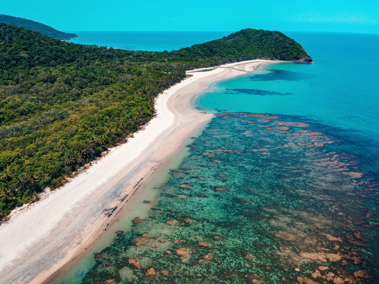
North of Port Douglas, the Daintree Rainforest is part of the Wet Tropics of Queensland, listed in 1988. You enter it by a ferry across the river, then a narrow road leads under the trees to Cape Tribulation. Here, two World Heritage Sites meet. The forest comes down to the beach, facing the reef. In 2021, this land was handed back to the Eastern Kuku Yalanji, who run the park together with the state. In Mossman, a shuttle bus links their cultural centre to Mossman Gorge.
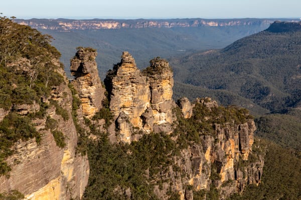
The Three Sisters
The Blue Mountains, a sandstone plateau covered in eucalyptus and cut by cliffs, have been on the World Heritage List since 2000. From Echo Point, you see the Three Sisters and the Jamison Valley. A stop in the mountains, away from the beaches of the coast.
Practical notes
- When to go
- May to October, the dry season. From November to April, rain and cyclones can cut the Bruce Highway in the north.
- Getting there
- International airports in Sydney and Cairns. Hiring in Sydney and returning in Cairns carries high drop-off fees.
- Access
- Everything is tarmac. Hire companies ban beach driving: K’gari and the Stockton dunes are done on a guided tour.
- Sleeping in a van
- Campsites in every town; national park campsites are booked online. Don’t drive at night, because of the kangaroos.
- Worth knowing
- Jellyfish in the north from November to May: swim inside the nets. Crocodiles in the rivers. Barrier-free tolls in Sydney and Brisbane. Queensland has no daylight saving time: it is one hour behind Sydney from October to April.
- Allow
- Sixteen days, seventeen with a night at Cape Tribulation. Add a day at sea for the Great Barrier Reef, and a night in Bundaberg for the turtles at Mon Repos (November to March, booking required).
What not to miss
- 1Cape ByronThe easternmost point of mainland Australia, with its 1901 lighthouse.
- 2Noosa National ParkA coastal path from Main Beach to Hells Gates, between forest and coves.
- 3The whales of Hervey BayFrom mid-July to late October, humpback whales stop over in the bay.
- 4Cape Hillsborough at sunriseKangaroos and wallabies come to feed on the beach.
- 5The WhitsundaysBy boat from Airlie Beach, for Whitehaven and the Hill Inlet lookout.
- 6Paronella ParkA concrete castle built in the jungle by the Catalan José Paronella, taken over by the vegetation.
Australia’s east coast in pictures
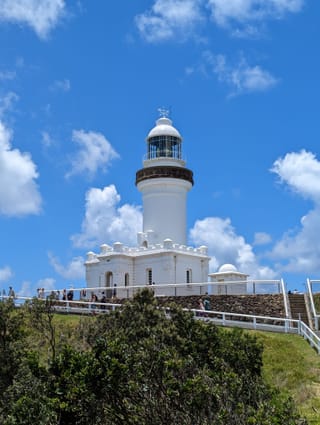
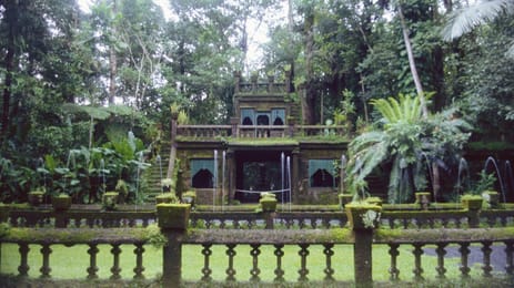
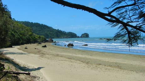
The white Cape Byron lighthouse under a blue, cloud-flecked sky.
Food on the east coast
You eat fish and seafood: barramundi, prawns and Moreton Bay bugs, a kind of slipper lobster. Port Stephens farms oysters. Everywhere, you find the meat pie and the lamington, a chocolate and coconut cake.
Bowen has given its name to a mango, and Rusty’s Markets in Cairns sell the region’s tropical fruit. In Bundaberg, you can visit the Bundaberg Rum distillery.
Sydney City → Cairns


 +47stops
- 1Sydney Opera House · Royal Botanic Gardens, Sydney · Sydney Harbour Bridge · Bondi Beach
- 2Fort Scratchley · Anna Bay · Nelson Head Light
- 3Myall Lakes National Park · Booti Booti National Park · Sea Acres National Park · Tacking Point Lighthouse
Free, no account needed — start from its places and make it yours.
Also worth reading
Wide open spaces
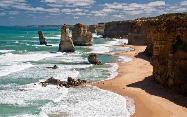
The Great Ocean Road, from Melbourne to Port Fairy
A road cut into the cliffs of southern Australia, between surf beaches, rainforest and limestone stacks. Five days from Melbourne to Port Fairy, sleeping by the sea.
Wide open spaces
Australia’s west coast, from Perth to Exmouth
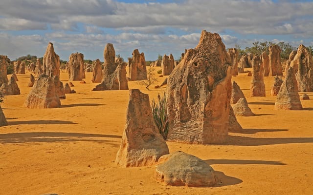
Ten days and about 2,000 kilometres along the Indian Ocean, from the Pinnacles to Ningaloo Reef. A coast of dunes, red gorges and turquoise bays, where you meet dolphins, dugongs and whales.
Wide open spaces
Tasmania on a loop, from Hobart to Cradle Mountain
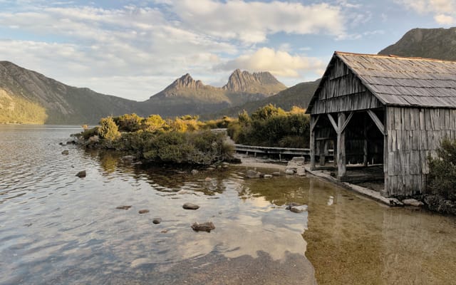
Beaches lined with granite, rainforests and the ruins of a penal colony, on an island south of mainland Australia. This trip goes all the way round it in twelve days from Hobart, from Freycinet to Cradle Mountain.
A starting point, a few wishes — ViaLooma builds the trip day by day, map, stops and roadbook included.